T11 R8 WELS

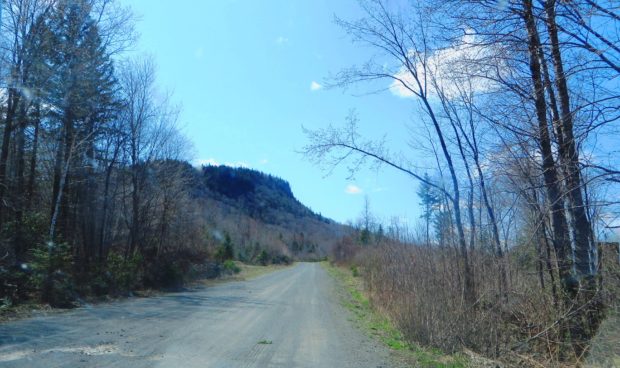
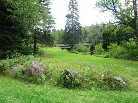
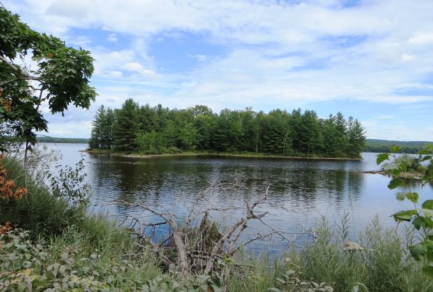
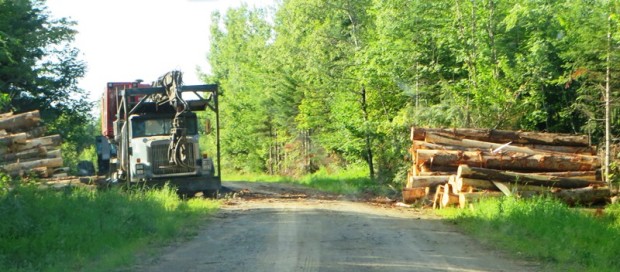
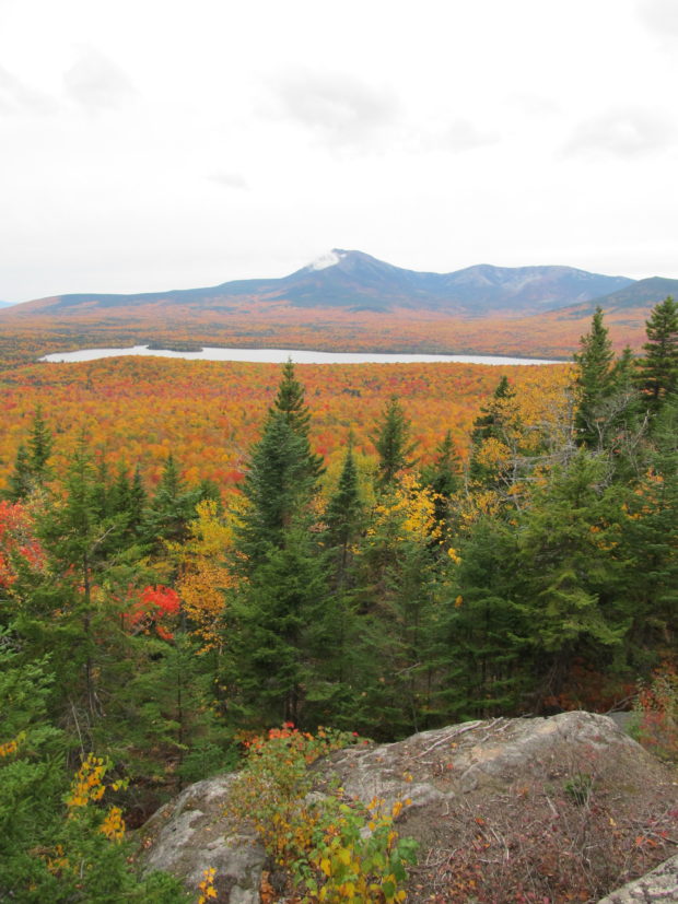
  This township, in the North Maine Woods management area, continues the Jack Mountain Road from T11 R7 WELS in its southeast corner before the road turns southwest around Jack Mountain. Jack Mountain campsite, with tent space, a picnic table, toilet facilities, and a fire ring, is near the mountain of that name. The Machias…

T2 R10 WELS

Nesowadnehunk Falls on the Penobscot West Branch (2018)

Nesowadnehunk Falls on the Penobscot West Branch (2018)     Three Routes This township, officially known as T2 R10 WELS, is the crossroad of two major “highways” in Maine: The Golden Road and the Appalachian Trail. Both travel the Abol Bridge over the West Branch of the Penobscot River. The Golden Road From east of…

T2 R12 WELS

Inlet of Caribou Lake near the Golden Road at Sias Road in T2 R12 WELS (2017)

This township is southwest of Baxter State Park and Southeast of Chesuncook and Caribou Lakes. The Sias Hill Road from T2 R13 WELS  passes the foot of Caribou Lake, where it joins the Golden Road. At the junction the road trends northeast to the West Branch of the Penobscot River and Baxter State Park; and northeast…

T2 R4 WELS

Logging Truck on 07-00-0 Road

This township is just east of Silver Ridge Township in southern Aroostook County. Crisscrossed with dirt logging roads, its main thoroughfare is the 6000 Road from U.S. Route 2 in Silver Ridge Dixie Road in the east terminating on U.S. Route 2A in Glenwood.                   Macwahoc Stream…

T2 R9 WELS

Omaha Beach with Campsites near the West Branch of the Penobscot River (2017)

          This township lies at the base of Baxter State Park, encompassing the Park’s south access road from Millinocket and the eastern end of The Golden Road. Togue Pond Gate is the south entrance to the Park. The West Branch of the Penobscot River flows through its western region and includes…

T22 MD Township

sign: Entering TWP 22 on Route 9

                                          Entering Township 22 on Route 9 A small community in Hancock County, the township’s only improved road, in its northeastern corner, is a portion of Route 9, (“The Airline“). Rocky Pond lies at the center…

T3 Indian Purchase Township

Bridge over Waterway linking Elbow Lake with Quackish Lake (2014)

The Township wraps around the southern, eastern and northern portions of Millinocket. T4 Indian Purchase Township is adjacent west of T3. The Golden Road and Route 11 from Millinocket are the two improved roads in the township. Bridge over Waterway linking Elbow Lake with Quackish Lake (2014) @ T3 encompasses all of Elbow Lake and…

T3 R10 WELS

      APPALACHIAN TRAIL – ABOL BRIDGE TO DAICEY POND Abol Bridge is located on the Golden Road over the West Branch of the Penobscot River in township T2 R10 WELS. A private campground and general store sits just outside the boundaries of Baxter State Park and is a major destination for those hiking to…

T3 R11 WELS

Ripogenus Gorge

This township is located east of the southern portion of Baxter State Park.  Both the Golden Road and the West Branch of the Penobscot River span its width.  Ripogenus Dam, Lake, and Gorge are major geographic features. [See related Chesuncook]                              …

T3 R12 WELS

Chesuncook Lake from the Golden Road (2012)

Commanding the southern portion of Chesuncook Lake and much of Caribou Lake and Ripogenus, the township is accessed by the Golden Road from Greenville or Millinocket.                 Allagash Gateway Campground offers tenting, a store, LG gas supply, swimming, fishing, and boating. Situated on the shore of Ripogenus Lake,…

T3 R4 BKP WKR

Location Map for T3 R4 BKP WKR

T3 R4 BKP WKR This township hosts the Long Falls Dam on the Dead River. That dam maintains the level of Flagstaff Lake, but required the removal of the village of Flagstaff, which was flooded as a result of its construction.. There was a small natural lake at Flagstaff. In 1950, Central Maine Power Company…

T3 R7 WELS

East of Baxter Park, it is home to Katahdin Woods & Water Recreation Area, Sandbank Campsite, Wassataquoik Public Reserved Land, and Whetstone Falls. West of Stacyville, access is by Swift Brook Road and a network of dirt roads.

T3 R8 WELS

Most of this township  is part of the Katahdin Woods and Waters National Monument.  The exception is a portion in its northwest corner around Katahdin Lake, now part of Baxter State Park. The balance of the township is crossed with many miles of unimproved (dirt) roads. The National Monument here is accessible east of Stacyville…

T4 R9 NWP

sign: "Piscataquis County Line, Entering T4 R9" (NWP) on Route 11 (2014)

       Piscataquis County Line Entering T4 R9 WELS   Community This township is in north central Maine in Piscataquis County. It is dominated by Seboeis Lake and the Seboeis Maine Public Reserved Land, which surrounds most of the Lake. Two small settlements, Schoodic and Packards, are in the west of the township along…

T5 R9 WELS

  This township is located in the northeastern area of Baxter State Park, accessible by Route 159 and Grand Lake Road north of Shin Pond Village. Matagamon Gate is the north entrance to the Park. A slower route is to enter in the south at Togue Pond Gate and travel the relatively slow Park “Tote…

T6 ND BPP

Fourth Lake Road in T6 ND BPP (2013)

     Fourth Lake Road in T6 ND BPP (2013) @ This township is just west of Grand Lake Stream Plantation.  Its Fourth Lake Road leads to the interior, to nearby lakes, including Pocumcus Micmac for “at the gravelly place.” * Eventually the road leads to a campsite and boat launch at Fourth Machias Lake…

T7 R9 NWP

Historic Topographic Map of T9 R9

This township is immediately south of the Bowdoin College Grant East, host to the next northerly section of the AT. The Trail (red dots on the maps) runs from East Chairback Pond, over Chairback Mountain, past West Chairback Pond to Third Mountain and Fourth Mountain in the western edge of the township. In the 1940’s…