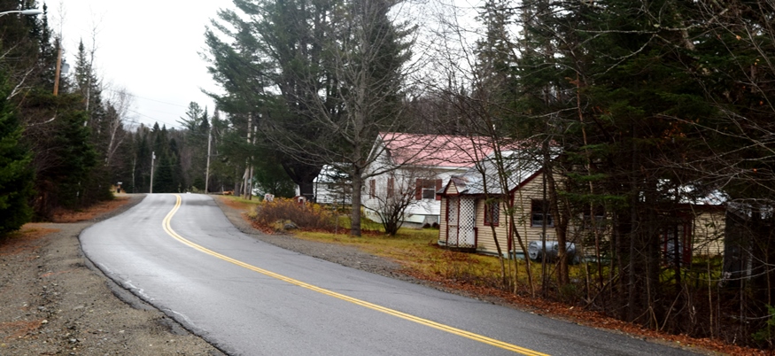
Mount Abram TWP

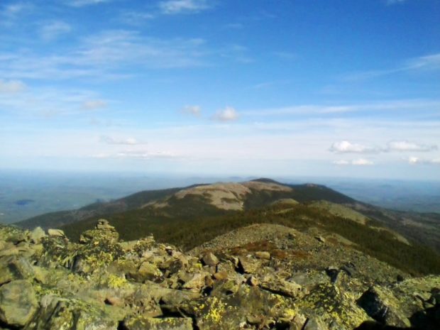
The township is immediately south of Carrabassett Valley, host to the next northerly section of the Appalachian Trail. Mount Abram Township is dominated by Mount Abraham, with the AT passing through the northwest corner. This four mile section is inaccessible by road except at the Redington Township line. An unimproved road beginning in East Madrid,…

Mount Katahdin TWP

Baxter Peak, Mount Katahdin, January 1, 2012)

After a trip of four to six months, depending on interests, style, and luck, the north-bound Appalachian Trail “thru hiker” finally arrives at Mount Katahdin’s summit in Mount Katahdin Township in Baxter State Park. Mid-October is the deadline for unrestricted permission to climb the mountain. In 2007 an early snow and resulting ice delayed the…

Mount Vernon

The village of West Mount Vernon, with a small church and fire department, is located at the north end of Echo Lake and the south end of Taylor Pond. See photos. In 1926, the novelist Erskine Caldwell moved to an old farmhouse in Mount Vernon, where he lived until the early 1930’s. The main village, Mount Vernon, is in the north of the town on Minnehonk Lake.

Moxie Gore

Small Village on the Lake Moxie Road in Moxie Gore (2019)

Moxie Gore is an unorganized township in Somerset County bordering the east bank of the Kennebec River just above The Forks Plantation.  Its odd shape earns it the name “Gore.” Moxie Stream is the outlet for Moxie Pond, which straddles The Forks and East Moxie Township to the southeast. Before joining the Kennebec River, the…

Murch, Thompson Henry

Thompson H. Murch (1838-1886) a U.S. Representative, was born in Hampden on March 29, 1838 and attended the common schools. He spent his early life at sea, learned the stonecutter’s trade and engaged in that occupation for eighteen years. He became editor and publisher of the Granite Cutters’ International Journal in 1877 and secretary of…

Muscle Ridge Shoals Township

Otter Island Ledge Day Beacon in Muscle Ridge Channel (2015)

This island group township in Knox County is just offshore from South Thomaston in the Gulf of Maine. Its more than a dozen islands includes the larger Andrews, Dix, Fisherman and Pleasant.  [click images to enlarge and clarify, for these and all others] The “shoals” refer to ledges and reefs that threaten safe passage.  Otter…

Muskie, Edmund S.

Edmund S. Muskie (courtesy of Maine State Museum)

Edmund Muskie (1914-1996) received a B.A. from Bates College and law degree from Cornell University, and served in the Navy in World War II. He entered politics winning a seat in the Maine House of Representatives in 1946 while practicing law in Waterville. He served as a state legislator (1947-1951) and as director of the…

Naples

Long Lake on Route 302 in Naples (2013)

Blessed with ample access to Long Lake, Sebago Lake at the intersection of U.S. Route 302 and Maine Routes 11, 35 and 114, Naples has long been a vacation resort community. See photos. Henry Wadsworth Longfellow and Nathaniel Hawthorne have sung its praises. The Songo Lock, built about 1830 and now shared with the town of Casco, linked Long Pond and Brandy Pond with Sebago Lake

Nashville

Location Map for Nashville

Located northwest of Ashland and south of Portage Lake on Route 11. Little Machias Lake, through which the Little Machias River runs, is in the northwest corner of the plantation. Nashville hosts two lots of Maine’s Public Reserved Land, of which about 10% of the acreage is reserved for wildlife, with the remainder allocated to timber management and harvesting.

Nelson, Charles Pembroke

(1907-1962), son of John E. Nelson and a U.S. Representative, was born in Waterville on July 2, 1907. He is the son of another U.S. Representative John E. Nelson. Charles Pembroke Nelson graduated from Cony High School in Augusta in 1924, Colby College, Waterville in 1928, and from Harvard Law School in 1931. Nelson was…

Nelson, John E.

John Edward Nelson (1874-1955), father of Charles Pembroke Nelson and a U.S. Representative, was born in China, Maine on July 12, 1874. He attended the common and high schools of Waterville, was graduated from Friends School, Providence, Rhode Island in 1894, from Colby College in 1898, and from the law department of the University of…

Nesourdnahunk Township

North Branch of Trout Brook on the Tote Road (2014)

Wholly within Baxter State Park, also known as T5 R10 WELS, it contains five mountains over 1,700 feet. Trout Brook flow through. Dwelley Pond is it only pond. The Dwelley Pond Trail follows the old Tote Road north to south from near Burnt Mountain to near Strickland Mountain for day hiking, canoeing and fishing.

New Canada

Power Lines and Cropland off the Caribou Road in New Canada (2018)

Daigle is the principal village in the town, which is located just south of Fort Kent on Maine Route 161 near Daigle Pond. Boat launching facilities are available on the small chain of First Lake, Second Lake, and Third Lake in the southwest corner of the town. A section of Maine’s Public Reserved Land, the New Canada lot, is a 1,000-acre original public lot located north of the Eagle Lake Unit.

New Gloucester

Pineland Farms near the Intervale Road in New Gloucester (2013)

home for Pineland Center from 1908 to 1996, that facility for the mentally retarded was known as the “Maine School for the Feeble-Minded” and later as the Pownal State School. See photos. It has been redeveloped as an office park. The multiple-use campus hosts professional, educational, and civic organizations, along with a conference facility. Pineland Farms and its Equestrian Center are major facilities nearby.

New Limerick

Cottages in New Limerick at Nickerson Lake (2012)

In the 1880’s the town had a large tannery, two saw mills, and a starch factory. It has frontage on Drew and Nickerson lakes, along with a half-dozen small ponds. See photos. The main village of the town, just west of Houlton, nearly surrounds Nickerson Lake, which it shares with Linneus. It is the birthplace of Dora Pinkham, the first woman to served in the Maine Legislature.

New Portland

Bridge over the Carrabassett River in New Portland (2017)

North New Portland hosts Morton’s Country Store, the Community Church, and Chase Memorial Hall. This village lies at the junction of routes 146 and 16, with Gilman Stream, and its Dam, flowing through it. See photos. The Carrabassett River, with its spectacular rocky bed, passes through East New Portland Village and under an arch bridge.

New Sharon

1916 Bridge over the Sandy River in New Sharon (2003)

just east of Farmington, has been growing consistently in population over the past four decades. New Sharon village straddles the Sandy River, which winds through from Farmington on its way to Starks and then Norridgewock where it enters the Kennebec River. The 1916 steel bridge, now retired from service, crosses the river at the end of the main street.

New Sweden

Little Madawaska River, a tributary of the Aroostook River, crossing Jemtland Road in New Sweden (2016)

After the Civil War, Maine, like other states, was losing population to the great westward migration. A conscious public policy of encouraging Swedish immigration resulted in the very successful settlement of Swedes in New Sweden. Just northwest of Caribou on Maine Route 161, the town is just south of Stockholm.