T2 R12 WELS

Inlet of Caribou Lake near the Golden Road at Sias Road in T2 R12 WELS (2017)

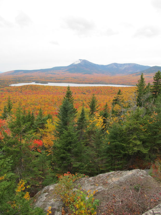
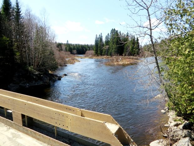
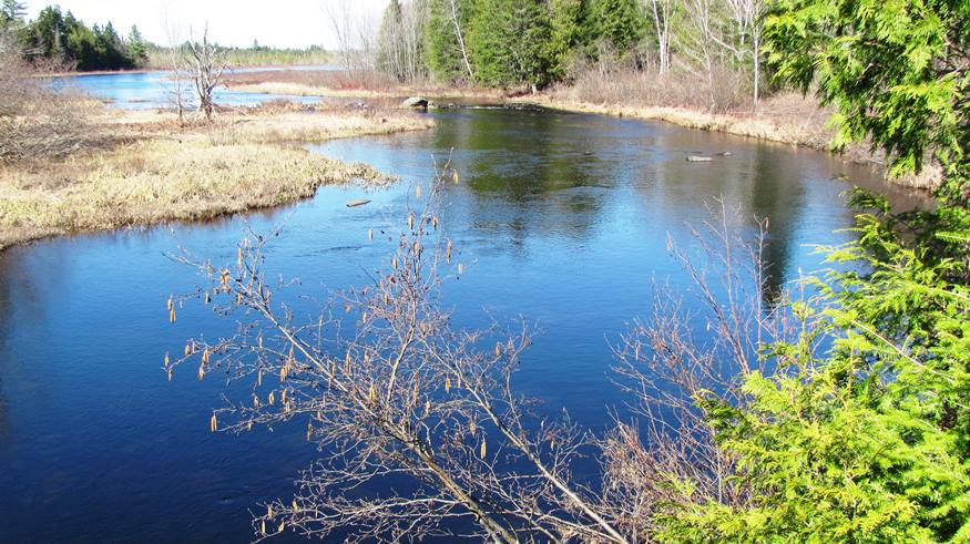
This township is southwest of Baxter State Park and Southeast of Chesuncook and Caribou Lakes. The Sias Hill Road from T2 R13 WELS  passes the foot of Caribou Lake, where it joins the Golden Road. At the junction the road trends northeast to the West Branch of the Penobscot River and Baxter State Park; and northeast…

T1 R8 WELS

Southwest shore of Millinocket Lake and Mount Katahdin from T1 R8 WELS

This township is just north of Millinocket on the Millinocket Lake Road, which trends northwest from Millinocket to the Lake and a boat launch. Millinocket Stream, the outlet from the Lake, flows south through the township to the Town of Millinocket. Smith Brook, the outlet for the 22 acre Little Smith Pond, flows through a…

T22 MD Township

sign: Entering TWP 22 on Route 9

                                          Entering Township 22 on Route 9 A small community in Hancock County, the township’s only improved road, in its northeastern corner, is a portion of Route 9, (“The Airline“). Rocky Pond lies at the center…

T3 R8 WELS

Most of this township  is part of the Katahdin Woods and Waters National Monument.  The exception is a portion in its northwest corner around Katahdin Lake, now part of Baxter State Park. The balance of the township is crossed with many miles of unimproved (dirt) roads. The National Monument here is accessible east of Stacyville…

T2 R9 WELS

Omaha Beach with Campsites near the West Branch of the Penobscot River (2017)

          This township lies at the base of Baxter State Park, encompassing the Park’s south access road from Millinocket and the eastern end of The Golden Road. Togue Pond Gate is the south entrance to the Park. The West Branch of the Penobscot River flows through its western region and includes…

T4 R9 NWP

sign: "Piscataquis County Line, Entering T4 R9" (NWP) on Route 11 (2014)

       Piscataquis County Line Entering T4 R9 WELS   Community This township is in north central Maine in Piscataquis County. It is dominated by Seboeis Lake and the Seboeis Maine Public Reserved Land, which surrounds most of the Lake. Two small settlements, Schoodic and Packards, are in the west of the township along…

T9 R8 WELS

Moose in the Gravel Pit off the Pit Road in T9 R8 WELS (2015)

                                     Moose in the Gravel Pit off the Pit Road in T9 R8 WELS (2015) Roads Pinkham Road is the main artery in this township from northeast to southwest.  Craigville Road joins Pinkham from the east, just south…

T8 R9 WELS

Mount Katahdin with Snow Cap from T8 R9 WELS on the Pinkham Road (2015)

              Mount Katahdin with Snow Cap from T8 R9 on the Pinkham Road (May, 2015) @   This township is bisected, northeast to southwest, by Pinkham Road beginning in T9 R9 WELS and exiting to T8 R10 WELS in the southwest. This well maintained dirt road is one of…

T9 R9 WELS

Maine Forest Service on the Pinkham Road (2015)

Maine Forest Service on the Pinkham Road (2015) @ A Maine Forest Service Station on the Pinkham Road in the south of the township, is adjacent to Brown Brook which crosses the road there.  It seems to be a remote outpost with no other station for many miles. Presumably the brook would provide water for…

T10 R9 WELS

Chase Brook Road (left) off the Jack Mountain Road in T10 R9 WELS (2015)

                                  Chase Brook Road (left) off Jack Mountain Road (2015) @ This township in Piscataquis County and managed by North Maine Woods, lies just west of T10 R8 WELS where Jack Mountain Road continues, but becomes an unimproved dirt…

T10 R8 WELS

Portable Housing on the Jack Mountain Road in T10 R8 WELS near the Spectacle Pond Road

Portable Housing on the Jack Mountain Road in T10 R8 WELS near the Spectacle Pond Road As part of the North Maine Woods management area, the township hosts some related facilities, such as these temporary, mobile buildings, probably to provide shelter in this remote area for the area management and maintenance people.. The Jack Mountain…

T11 R8 WELS

  This township, in the North Maine Woods management area, continues the Jack Mountain Road from T11 R7 WELS in its southeast corner before the road turns southwest around Jack Mountain. Jack Mountain campsite, with tent space, a picnic table, toilet facilities, and a fire ring, is near the mountain of that name. The Machias…

T11 R7 WELS

            Bridge over Machias River (North Branch) off Pinkham Road in T11 R7 WELS (2015) This township is just west of Garfield Plantation, both of which are within the North Maine Woods management area. The American Realty Road crosses the northeast corner and the Pinkham Road crosses the southeast corner. …

T1 R4 WELS nya

Macwahoc Stream upstream of the Bridge in T1 R4 WELS (2016)

Also known as North Yarmouth Academy Grant Township, it lies just east of T1 R5 WELS. It has no settled village. Macwahoc Stream and an associated bog dominate the northeastern portion. The only improved roads are U.S. Route 2 in the west (where the town line photo was taken in 2014) and U.S. Route 2A…

T1 R5 WELS

Gulliver Brook crossing U.S. Route 2 in T1 R5 WELS in Autumn (2014)

This sparsely populated township lies south of Benedicta and Silver Ridge Townships. The Aroostook Road from Benedicta to Molunkus village is the primary improved road, passing through the center of the township.  A small slice of the Nine Mile Woods Road (U.S. Route 2) cuts through its northeast corner. With frontage on two relatively remote…

Trout Brook Township Campground Baxter Park

Trout Brook from the north side of the bridge on the Perimeter Road in Baxter State Park (2007)

This township is home to Trout Brook Farm Campground in Baxter State Park. A park ranger station is here just off the northern most reach of the park’s Tote Road. Trout Brook flows through in a northeasterly direction to enter Grand Lake Matagamon. The brook crosses the Tote Road near the entrance to the South Branch Ponds. Forest products are harvested in the Scientific Forest Management Area.

T1 R6 WELS

Sunset Over Mount Katahdin at Salmon Stream Lake (2014)

Most travelers see the township from the scenic view on I-95. The attraction is a view of Mount Katahdin over 659-acre Salmon Stream Lake.  The outlet of Little Salmon Stream Lake, to the northeast, flows into Salmon Stream Lake. A section of Penobscot Indian Territory is in the northwest corner of the township, along the…

T3 R7 WELS

East of Baxter Park, it is home to Katahdin Woods & Water Recreation Area, Sandbank Campsite, Wassataquoik Public Reserved Land, and Whetstone Falls. West of Stacyville, access is by Swift Brook Road and a network of dirt roads.

T2 R4 WELS

Logging Truck on 07-00-0 Road

This township is just east of Silver Ridge Township in southern Aroostook County. Crisscrossed with dirt logging roads, its main thoroughfare is the 6000 Road from U.S. Route 2 in Silver Ridge Dixie Road in the east terminating on U.S. Route 2A in Glenwood.                   Macwahoc Stream…