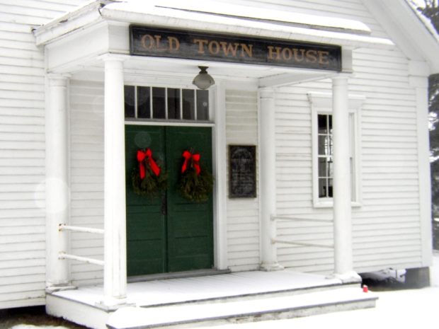
New Vineyard

Porter Pond in New Vinyard; probably Saddleback Mountain in distance (2017)

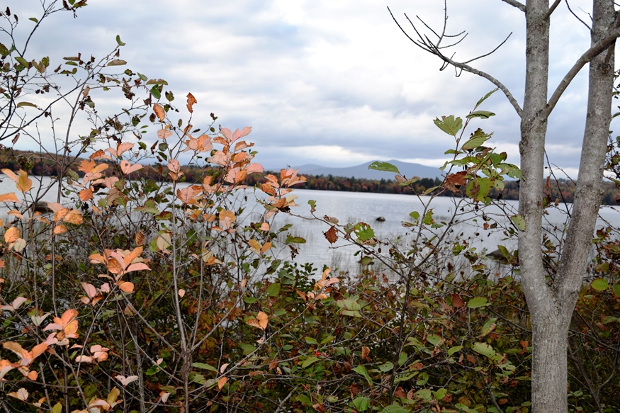
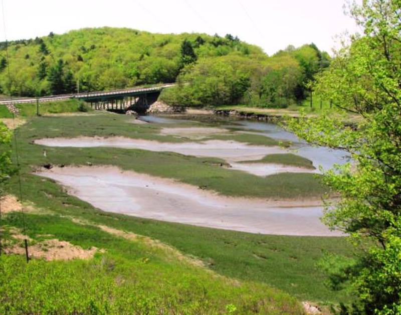
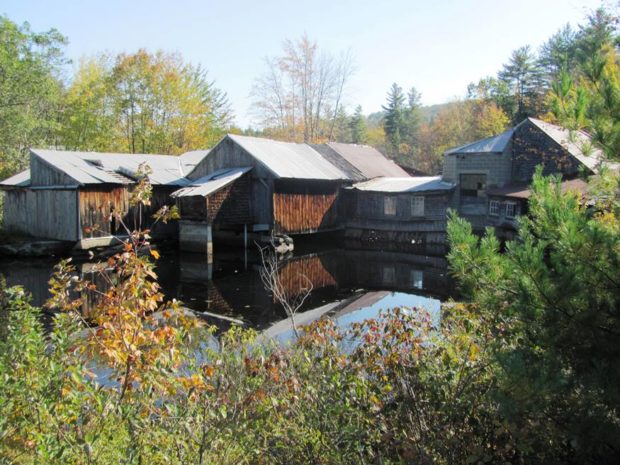
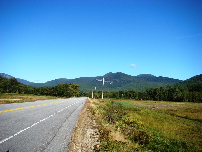
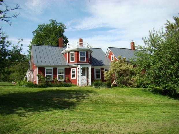
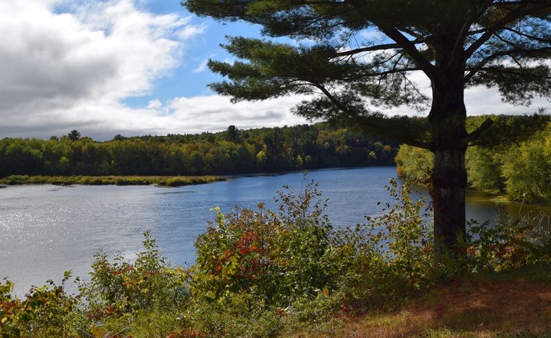
Framed by the Carrabassett and Sandy Rivers, this irregularly shaped town’s main village lies on Maine Route 27 between New Portland and Farmington. See photos. The Maine Wood Turning company is on Route 27 in the village. Nearby Bauds, Mill, and Lily ponds, and frontage on Porter Lake, provide wide fishing and recreational opportunities.

Newburgh

Small Waterfall on the West Branch of Souadabscook Stream (2014)

Settled in about 1794, the town is on the old stage route from Bangor through China to Vassalboro near Augusta. Newburgh Center village is on combined U.S. Route 202 and Maine Route 9. See photos. The Kennard Road hiking trail, originally developed by the Newburgh Heritage Trust, is a one-mile walk, with parking available.

Newcastle

Deer Meadow Brook from Frank Steele Woods in South Newcastle (2011)

Damariscotta Lake is a major destination for adult alewives with intentions of spawning the next generation. The fishway near the dam at Damariscotta Mills in Newcastle provides access to and from the lake. See photos. Newcastle, located on U.S. Route 1 just west of the Damariscotta River, is home to Maine’s oldest Catholic Church, St. Patrick’s, completed in 1808. Several nature preserves in Lincoln County are in Newcastle. Nearby Great Salt Bay is protected by Maine legislation and is the state’s first marine shellfish protected area.

Newfield

The old center of Newfield village was destroyed by the great forest fire of 1947. See photos. The Willowbrook Historic District covers this area and the buildings that survived the fire. In 1984 the application to establish the historic district reported “Very little change in the buildings or landscape has occurred in the last one-hundred years so that the sense of time and place of a remote southwestern Maine rural community of the 19th century remains strongly present.” At the source of the Little Ossipee River, and dotted with ponds and streams, Newfield is a rapidly growing community about twenty miles northwest of Sanford

Newport

Bird in its safe habitat near the Sebasticook River in North Newport (1014)

Newport features the six-mile long Sebasticook Lake, providing recreational opportunities for residents and summer visitors. Drought conditions in 2002 lowered the water level substantially. See photos. Prior to the opening of what became the Maine Central Railroad in 1855, Newport was a center of stage coach transportation. Newport is still a heavily traveled crossroads, now of Interstate 95, U.S. Route 2, and Maine Routes 7, 11, and 100. The area east of Sebasticook Lake is known as East Newport.

Newry

Built in 1872, the Sunday River Bridge, called “he most painted and photographed covered bridge in the state,” crosses the river of the same name. See photos. The Sunday River Ski Resort is located here. On Maine Route 26, Newry is the gateway to the hiking trails, including the Appalachian Trail, of Grafton Township. Step Falls Preserve, the first preserve of the Maine Chapter of the Nature Conservancy, has 24 acres of cascades and pools.

Nobleboro

Throughout its history Nobleboro remained a rural community, but because of nearby lakes, rivers, and seacoast, about 37% of its inhabitants are non-resident “summer people.” See photos. Damariscotta Lake is accessible and nearby Great Salt Bay is the state’s first marine shellfish protected area. Shipbuilding was once a major industry with twenty-six shipyards in town at the peak. Maine’s first recorded meteorite (and the second in the U.S.) arrived in 1823.

Norridgewock

Kennebec River (2018) downstream from The Pines in Old Point in Norridgewock near the British massacre of the Indian village in 1724.

The village straddles a bend in the Kennebec River at the junction of Maine Routes 8 and 139, and U.S. Routes 2 and 201A. See photos. The Sandy River empties into the Kennebec in the town. Benedict Arnold’s expedition passed through in 1775. Norridgewock was the home of author Rebecca “Sophie May” Clark, and U.S.Representatives Cullen Sawtelle and Stephen D. Lindsey.

North Berwick

Mill Buildings on the Great Works River (2002)

The North Berwick Woolen Mill is a historic landmark on the banks of the Great Works River that passes through the main village. See photos. More than a dozen National Register historic places testify to the town’s significant role in Maine’s early history.It is home to the historic Hussey Plow Company and a Pratt & Whitney defense plant.

North Haven

Located in Penobscot Bay, it is accessible via the State Ferry Service from Rockland, with connections to Vinalhaven. See video and photos. Fishing was the major industry on the island for many years, with a brief venture into canning. Boat building emerged as a major economic activity producing both fishing vessels and yachts for summer people. Long a resort community, it has few permanent residents. The “Turner Farm Site,” on the National Register, is a treasure of artifacts from Maine pre-history. Calderwood Island nature preserve is here.

North Yarmouth

North Yarmouth’s rapidly growing community, nearly triplng its population since 1970, is within easy reach of Yarmouth, Brunswick, and the greater Portland area. King William’s War started here when Indians attacked the settlement in the late 1680’s.

Northeast Carry

Moosehead Lake and Seboomook Wilderness Campground (2008)

Northeast Carry is a township on the northeast shore of Moosehead Lake, with a view of Mount Kineo (photo on left below – sharp cliff right of center). It connects the Lake with the West Branch of the Penobscot River by a “carry” corridor for portaging canoes. Henry David Thoreau used this connector twice during…

Northfield

Location Map for Northfield

This sparsely populated, but growing community, is blessed with water resources including Bog Lake, Fulton Lake, the lower portion of Long Lake, and the winding upper reaches of the Machias River. See map. The main village lies on Maine Route 192 about ten miles north of Machias. A small settlement, Smith Landing, lies on the Machias River in the south of the town. Blueberries are the main crop produced in the old fields and harvested much the same way as in early times. Timber harvesting continues both privately by individuals and commercially by paper companies.

Norway

One of Several Houses of interesting design in Norway (2003)

Norway-South Paris is a community of two adjoining towns serving as a retail center for southern Oxford County. It includes a commercial strip with the usual array of auto dealerships and fast food. Pennesseewassee Lake, the largest of several in the town, abuts the main village and contributes mightily to local recreational opportunities. A clerical “correction” of the originally proposed “Norage,” the Indian word for falls, resulted in the name Norway.

Nourse, Amos

Amos Nourse, courtesy Maine State Museum

Amos Nourse (1794-1877) a U.S. Senator from Maine, was born in Bolton, Worcester County, Massachusetts on December 17, 1794. He pursued a preparatory course and graduated from Harvard University in 1812. Nourse served as postmaster at Hallowell 1822-1841, when he then moved to Bath and acted as collector of customs at Bath 1845-1846. He studied…

Oakfield

Caboose near Oakfield Station on the Station Road in Oakfield (2012)

Originally settled in 1831 and organized for the assessment of taxes in 1866, the town itself was incorporated on February 24, 1897. See photos. The main village, is located on the Mattawamkeag River, just south of Smyrna Mills. Its mountainous terrain, known as the Oakfield Hills, earned it the name “Switzerland of the Aroostook” by one observer. Sam Drew Mountain is the highest point at 1,516 feet.

Oakland

Waterville’s commercial strip that is Kennedy Memorial Drive continues into Oakland for about a mile before becoming a more scenic road. See photos. Here the village emerges as it sits at Messalonskee Stream. Long the home of the New England Music Camp, recreational opportunities include access to several of the Belgrade lakes.

Ogunquit

Grand House on the Shore Road in Ogunquit overlooking Perkins Cove (2013)

Ogunquit, before 1980, was a village corporation and functioned for the most part as a town of its own, supporting its own police, fire, highway and sewer departments. The town is a well known actors and artists colony, featuring the historic Ogunquit Playhouse and beautiful beaches. Perkins Cove, south of the main village on Shore Road, combines a working waterfront, a restaurant, an art museum, and fine cottages.