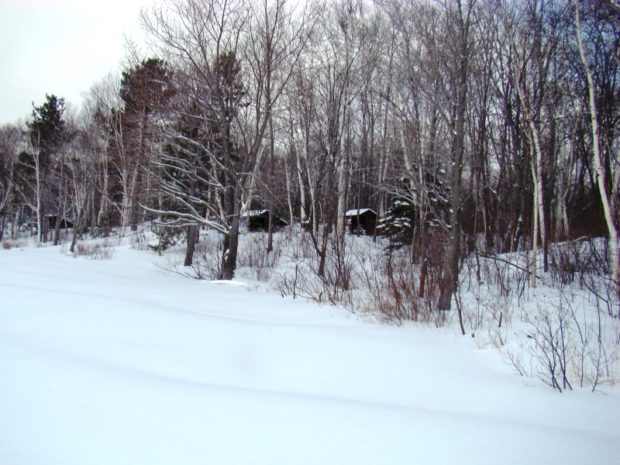
This township is located in the northeastern area of Baxter State Park, accessible by Route 159 and Grand Lake Road north of Shin Pond Village. Matagamon Gate is the north entrance to the Park. A slower route is to enter in the south at Togue Pond Gate and travel the relatively slow Park “Tote Road” .
South Branch Pond Campsite is at the north shore of the two South Branch Ponds. Several hiking trails branch from the Campsite to nearby mountains, and ridges. The seven-mile Pogy Notch Trail leads south to Russell Pond and its campsite in T4 R9 WELS. The 93 acre Lower South Branch Pond has a maximum depth of 60 feet. Upper South Branch Pond fills 84 acres with a maximum depth of 76 feet. The “lower” pond is north of the upper pond since it is downstream from the “upper” pond! Fishing is permitted.
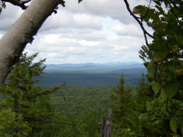
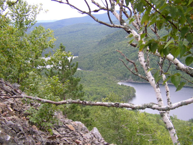
The 3,500+ foot Traveler Mountain (view from its North Ridge [left]) is south of the 3,100+ foot North Traveler Mountain. The 2,600 foot Black Mountain lies west of the ponds. The smaller Little Peaked and Big Peaked Mountains lie just northeast of the Campsite. The South Branch Ponds are at right. See a video at the Campsite article.
Additional resources
“Upper South Branch Pond.” Maine. Department of Inland Fisheries and Wildlife. (1963) https://www.maine.gov/ifw/docs/lake-survey-maps/piscataquis/branch_pond_upper_south.pdf (accessed March 15, 2019)
“Lower South Branch Pond.” Maine. Department of Inland Fisheries and Wildlife. (1963) https://www.maine.gov/ifw/docs/lake-survey-maps/piscataquis/branch_pond_lower_south.pdf
(accessed March 15, 2019)