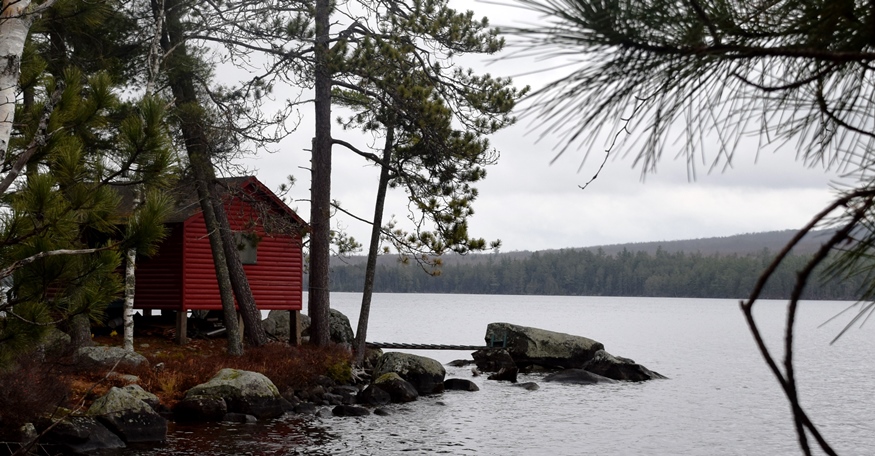
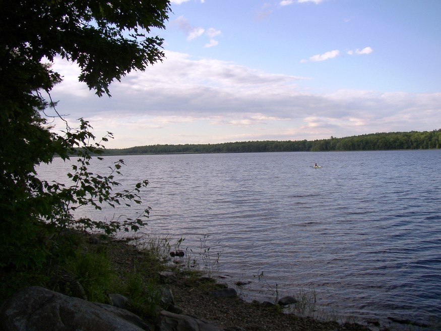
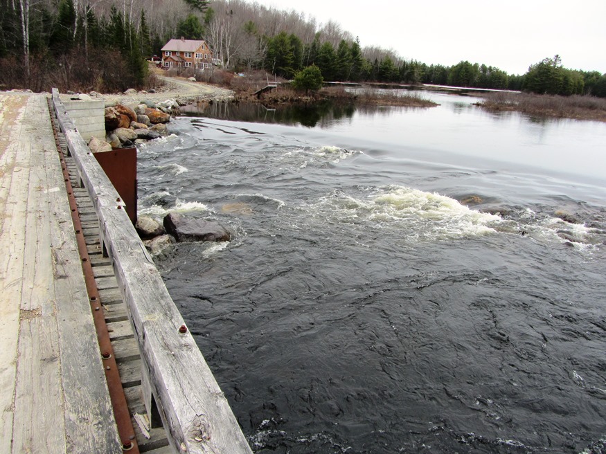
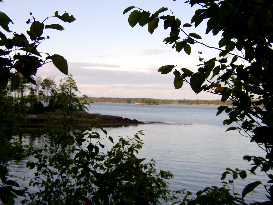
Enfield

Panoramic Mountain View from Enfield (2014)

Year Population 1970 1,148 1980 1,397 1990 1,476 2000 1,616 2010 1,607 Geographic Data N. Latitude 45:15:56 W. Longitude 68:35:39 Maine House District 142 Maine Senate District 5 Congress District 2 Area sq. mi. (total) 33.2 Area sq. mi. (land) 27.9 Population/sq.mi. (land) 57.6 County: Penobscot Total=land+water; Land=land only [EN-field] is a town in Penobscot…

Eagle Lake Township

Not to be confused with the town of Eagle Lake  in Aroostook County, Eagle Lake Township lies to the southwest in Piscataquis County. It too has frontage on another waterbody named Eagle Lake and includes part of the Allagash Wilderness Waterway and a small portion of Chamberlain Lake. A narrow stretch of Maine Public Reserved…

Eastern Phoebe

Eastern Phoebe in Harpswell (2011)

This seven-inch gray bird with brown wings returns to southern Maine in early spring to build its nest, often in the usual place unless it has been destroyed. The insect eating Phoebe makes its news under overhanging structures, such as eaves, second floor decks, and bridges. It perches on branches or posts awaiting the unsuspecting…

Employment, Top 50 Employers

Top 50 Employers 2014

The rank of private sector employment by Maine firms varies with both long- and short-term trends in the economy. The table below is a snapshot of the fifty largest private employers in Maine in the first quarter of 2012 and the second quarter of 2014. The largest business category is “General Medical and Surgical Hospitals.” …

EBEEMEE Township

Pleasant River East Branch, outlet of Lower EBEEMEE Pond in EBEEMEE Township (2014)

Just north of Brownville on Route 11, this township contains the East Branch of the Pleasant River which feeds the connected West Pond, Pearl Pond and Ebeemee Lake. Small year-round and seasonal cottages are located on the access roads and on the shorelines.                        …

Edmunds Township

Cobscook Bay from the State Park in Edmunds Township (2004)

Edmunds was incorporated as a town on February 7, 1828, and annexed some land from adjoining Trescott in 1899. However, during the depths of the Great Depression, it surrendered its organized status after over 100 years as a town. As did several Maine towns during the Depression, it became a township on November 27, 1937.…

Eider, Common

“Best known for its soft, warm down”, the large diving sea-duck common eider, according to Audubon*, is “most easily observed because of its tendency to remain close to shore and its relative abundance, especially in northeastern North America. This cold ocean inhabitant is the largest duck in the Northern Hemisphere.” While this bird’s range is…

Economy, Labor History

Panel 1

People who have worked on farms, in forests, on the seas, in mills, factories and offices — all have contributed to the Maine economy over the past nearly four centuries.  In the twenty-first century more people are working in commercial, health, electronic, financial and other services than ever before. A perspective of where workers have…

Elver Landings

Elver Landings 1994-2016

Elvers are young eels. According to the Maine Department of Marine Resources, “After spawning, the adult eels die. The eggs hatch after several days and develop into a larval stage (leptocephalus) which is shaped like a willow leaf. The larvae drift in the ocean for several months and then enter the Gulf Stream current to…

American Eel Landings

American Eel Landings 1964-2016

Otherwise known as the Common Eel or Freshwater Eel, they range in size of up to 6 feet for females and up to 2 feet for males. Color is olive-green to brown on the back, with yellow-green on the sides and gray-white below. Adults leave freshwater for the ocean to spawn, changing color to black…

Elections, Congressional Districts

Congressional Districts for Elections 2004-2010

Maine once had as many as eight members of the U.S. House of Representatives, thus eight congressional districts.  When Maine achieved statehood in 1820, Congress assigned the new state one At-Large Representative, leaving Massachusetts with its allotted 20 Representatives. In the 17th Congress (1821–1823), the final Congress before the apportionment following the 4th Census (1820),…

Environment, Superfund Sites

In general, “A Superfund site is an uncontrolled or abandoned place where hazardous waste is located, possibly affecting local ecosystems or people.”1 A federal Superfund site is any land in the United States that has been contaminated by hazardous waste and identified by EPA as a candidate for cleanup under the federal Superfund program because…

Executive Branch

The governor heads the executive branch of Maine government, which is composed of the Executive Department and the various specialized departments. (The other branches are the judicial and the legislative.) Executive agencies have been frequently “reorganized” with mergers, divisions, and occasionally abolition.  See some resources describing the history of “government reorganization” efforts in the Additional…

Exeter

Crop Spray Irrigator at Exeter Corners (2014)

Uncharacteristic for most Maine towns, Exeter has neither a lake, pond or mountain of note. Maine combined Routes 11 and 43 zigs and zags in a generally east-west direction through the town. The economy is a mix between agriculture and work in the Bangor area service industries.

Evergreen Cemetery

Established by the City of Portland in 1854, the cemetery was designed by Charles H. Howe as a rural landscape with winding carriage paths, ponds, footbridges, gardens, chapel, funerary art and sculpture. It also includes extensive wooded wetlands. Evergreen was modeled after America’s first rural cemetery, Mount Auburn in Cambridge, Massachusetts. The popularity of garden/rural…

Eustis

Bigelow Range from Eustis Ridge Road in Eustis (2012)

In 1775 the area had been the scene of Benedict Arnold’s march to Quebec. He was accompanied by Col. Timothy Bigelow, who returned to the area and for whom Bigelow Mountain is named. Eustis village in the north of the township, is on the North Branch of the Dead River and is the smaller of the two villages, the other being Stratton.