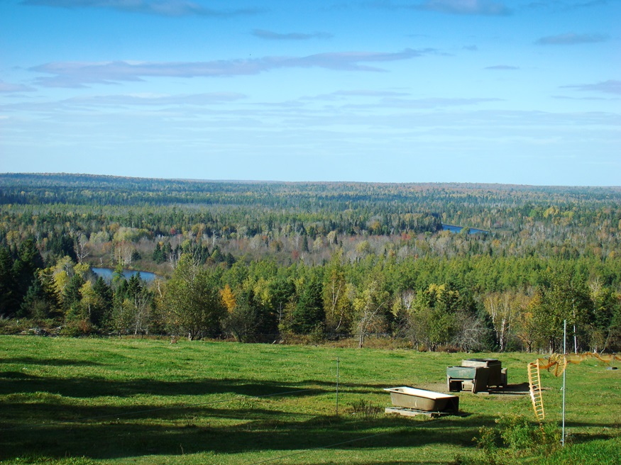
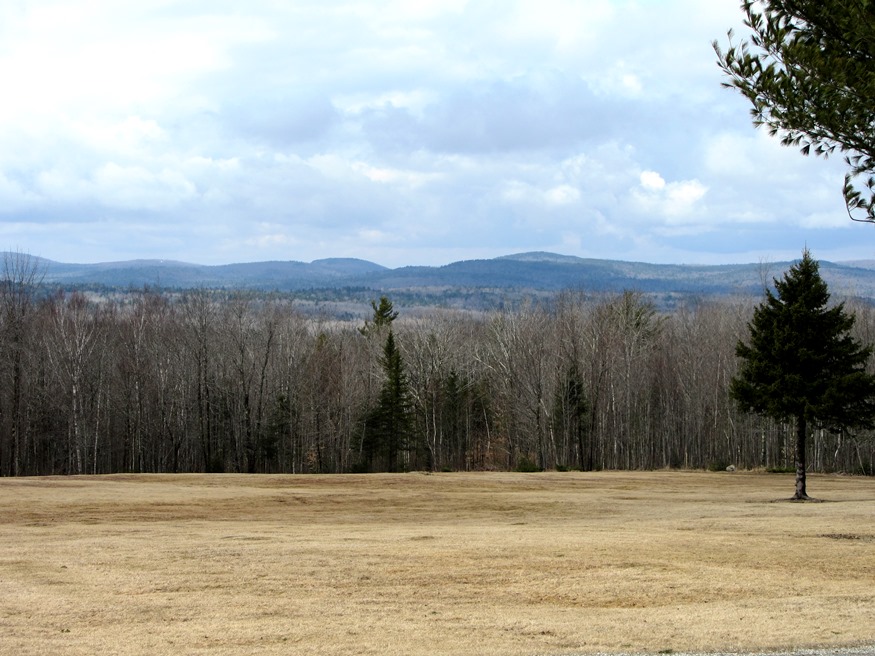
Orneville Township

Route 155 in Orneville between Bradford and Lagrange. (2014)

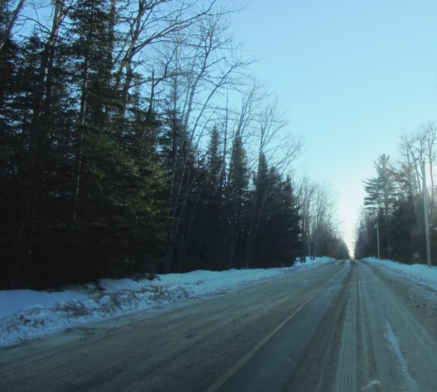
Orneville, east of Lagrange, is heavily forested. It has one small village, Boyd Lake, on Route 6/16 near Boyd Lake itself. Maine combined Routes 6/16 in the east and Route 11 in the west and a short stretch of Route 155 between Bradford and Lagrange in the southeast are the major improved roads on the…

River Otter

River otters are water-adapted mammals, with long, streamlined bodies, short legs, webbed toes, and long, tapered tails. Their short, thick fur is a rich brown above, and lighter, with a silvery sheen, below. Adult males average four feet in length, with the tail, weighing 20 to 28 pounds. Females are somewhat smaller. Seldom seen, they…

Orland

Small pond with a fishway and an outlet to Toddy Pond, surrounded by U.S. Route 1, Toddy Dam Road, and Hatchery Road in East Orland (2010)

In addition to Alamoosook Lake, the town hosts Craig, Heart and Toddy ponds, and the State’s Craig Brook Fish Hatchery. See video and photos. Located just east of Bucksport, Orland is a growing community, whose old village center is located on the Orland River, where the old village school and the general store are located. H.O.M.E., a crafters’ cooperative was established by Sister Lucy Poulin in 1970.

Oxford

Field Overlooking Thompson Lake in Oxford (2012)

Routes 26 (the commercial strip) and 121 serve the community. See photos. The Oxford Casino is on Route 26 in the south of town. Oxford village, at the north end of Thompson Lake, hosts the town office, post office, and a small veterans memorial park. The Congregational Church was established in 1806 and is listed on the National Register. Though famous for auto racing at Oxford Plains Speedway, the nearby Androscoggin River passes several sizable ponds and Thompson Lake abuts the main village.

Oxbow

Panoramic View North from Oxbow Road (2008)

Virtually all of the plantation’s population is located along the Oxbow Road, leading West from Maine Route 11. See photos. Aroostook River through the area make shapes similar to oxbows, the harness that keeps oxen attached to their loads. The western end of the Oxbow Road is marked by the “Oxbow Checkpoint,” an entry point to the North Maine Woods, most of which is privately owned.

Owls Head

The Knox County Regional Airport is located in Owls Head and is one of Maine’s busiest during the summer months. Owls Head State Park offers views of Penobscot Bay and the nearby Owls Head Transportation Museum contains vintage aircraft frequently flown over the Bay. Owls Head Light Station marks the southern entrance to Rockland Harbor.

Outdoor Recreation

Rafting near The Forks (2004)

in Maine is a matter of picking the freely available natural resources: streams and lakes for canoeing, nature preserves and mountains for hiking, rivers for rafting on the Penobscot River’s West Branch and the Magalloway River, forests and parks for camping, among the many non-motorized options. Not to mention hunting and fishing opportunities. The Appalachian…

Otis, John

John Otis (1801-1856) a U.S. Representative, was born in Leeds on August 3, 1801. He attended the common schools and was graduated from Bowdoin College in 1823. Otis studied law, was admitted to the bar and began his practice in Hallowell in 1826. A member of the Maine House of Representatives in 1841, he was…

Otisfield

Bridge Over the Crooked River from Otisfield to Harrison (2012)

Just north of the town of Casco on Maine Route 121, it offers substantial frontage on Pleasant and Thompson Lakes. The Crooked River serves as its boundary with Harrison. The Bell Hill Meetinghouse and Bell Hill Schoolhouse are well-preserved National Register historic structures in a rural setting.

Otis

Boat Launch on Beech Hill Pond (2013)

Located just north of Ellsworth, the town is dominated by Floods Pond and Beech Hill Pond, with several smaller ponds and streams mixed in. See photos. The small, old cemetery and the working forest symbolize Otis’ past and present as a sparsely populated, wooded area off the major highways.

Osborn Plantation

Panoramic View of Mountains looking West from Route 179 in Osborn (2013)

Osborn hosts two lots of Maine’s Public Reserved Lands with many trees well over 100 years old. The Osborn lots have a long history of timber management. Spectacle Pond, through which the Union River flows, is a major asset of the town. With few major roads, it is served in its northwest corner by Maine Route 179.

Orrington

1807 Orrington Cattle Pound (2003)

The town, on the east bank of the Penobscot River, is a suburb of the Bangor-Brewer area, showing moderate but consistent growth in recent decades. As part of the agricultural tradition throughout Maine is the usually circular, rock walled cattle pound, often used as a site to buy and sell farm animals, and to hold wandering livestock to keep them from destroying crops.

Orient

The name derives from its eastern location adjoining New Brunswick. Its eastern point lunges into Grand Lake and North Lake on the Canadian border, accessible by the Boundary Road. Sunset Park and other camping areas are attractive vacation locations. U.S. Route 1 runs north-south through the middle of the township. Orient village is just east of Route 1 on the Boundary Road.

Oliver, James

James Oliver (1895-1986) a U.S. Representative was born in South Portland on August 6, 1895. He attended the public schools, and earned an A.B. from Bowdoin College in 1917. During the First World War, Oliver enlisted on June 4, 1917, attended the Plattsburg Barracks Training Camp, and was commissioned a captain on November 27, 1917.…

Old Town

The town is heavily influenced by the nearby University of Maine, and the long-lived Old Town Canoe Company maintains an outlet that attracts customers with a broad range of outdoor recreation interests. See photos. DeWitt Field, Old Town’s municipal airport, hash three runways. Since 1669, the area has been the principal home of the Penobscot Indians.

Old Orchard Beach

See photos. Richard Boynthon settled the area in 1631 and hosted meetings of the councilors governing Sir Fernando Gorges‘ Province of Maine in the early 17th Century. Thomas Roger planted an apple orchard in 1638 that became known as “Rogers’ Garden by the Sea” by 1657. The Boston to Portland railroad passed within two miles of town in 1842 and the Grand Trunk Railroad connected Old Orchard Beach to Montreal in 1853, encouraging Canadians to visit the beach. By 1873 the Boston & Maine Railroad passed through the town, now served by Amtrak.

Ogunquit

Grand House on the Shore Road in Ogunquit overlooking Perkins Cove (2013)

Ogunquit, before 1980, was a village corporation and functioned for the most part as a town of its own, supporting its own police, fire, highway and sewer departments. The town is a well known actors and artists colony, featuring the historic Ogunquit Playhouse and beautiful beaches. Perkins Cove, south of the main village on Shore Road, combines a working waterfront, a restaurant, an art museum, and fine cottages.