Perry

Passamaquoddy Tribal Office in Perry promoting Indian Day (2013)

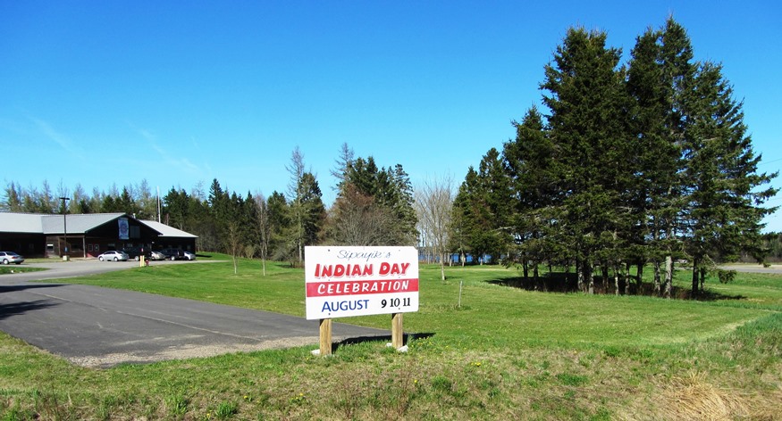
Named for Commodore Oliver H. Perry, a naval hero of the War of 1812, the town was incorporated even as the British still held Eastport only six miles away. Perry is the gateway, via Maine Route 190, to the Pleasant Point Passamaquoddy Indian Reservation located withing the town, and to the City of Eastport. Boyden Lake dominates the northwest portion of the town, while the southwest has miles of protected coves approaching Cobscook Bay.

Perry, John J.

John Jasiel Perry (1811-1897), a U.S. Representative, was born in Portsmouth, New Hampshire on August 2, 1811. In 1812, he moved with his parents to an area of Hebron that is now in the town of Oxford, attended the common schools and Maine Wesleyan Seminary (now Kents Hill School in Readfield). A deputy sheriff of…

Pert, Edwin H.

Ed Pert in Clerk

Edwin H. Pert (1933-2016), a long-time fixture in Maine politics,  graduated from Morse High School in Bath and the University of Maine in Orono. Pert served a tour in Korea as a public information officer for the U.S. Army. He was reporter for the local newspaper and news director for the local radio station, before…

Peru

Apparent Horse Cemetery on the Ridge Road (2013)

The town is on the south bank of the Androscoggin River just below the Rumford-Mexico-Dixfield area. Its main village is West Peru, across the river from Mexico in the northern portion of the town. See photos. Further south on the Ridge and Valley roads, the rolling rural landscape reveals mountain views, farms and forests. A campground and bed & breakfast may be found at the three-mile long Worthley Pond.

Peters, John A.

John Andrew Peters (1822-1904), uncle of John Andrew Peters (1864-1953), a U.S. Representative, was born in Ellsworth on October 9, 1822. He attended Gorham Academy, and was graduated from Yale College in 1842. He studied law; was admitted to the bar in 1844 and began his practice in Bangor in 1844. A member of the…

Peters, John Andrew

John Andrew Peters (1864-1953), nephew of John Andrew Peters (1822-1904), a U.S. Representative, was born in Ellsworth on August 13, 1864. He attended the common schools, was graduated from Bowdoin College in 1885. He studied law; was admitted to the bar, began his practice in Ellsworth in 1887, and became judge of the municipal court…

Phillips

Mountain View from Route 4 in Phillips

The Sandy River-Rangeley Lakes Railroad, which transported people and forest products to and from the north woods, was once headquartered in the town. See photos. As the Sandy River passes through the village, the river bed appears as frozen sand, almost bone-like in its strange shapes. A canoe trip from here to Farmington begins well below the bridge. Outdoors woman, columnist, and promoter of outdoor sports in Maine, Cornelia “Fly Rod” Crosby was born here.

Phippsburg

Dunes at Popham Beach in Phippsburg (2006)

Even before it was incorporated, the community had its church (see photos), which was organized in 1765 and built in 1802. The tip of Phippsburg at the mouth of the Kennebec River is the site of the first English attempt at settling New England: the Popham Colony of 1607-1608. Fort Popham and Fort Baldwin, rise as a guardians of land upriver. Coxes Head, which juts out into the Kennebec River.

Pierce Pond Township

An Appalachian Trail Hiker Savors the Colorful Fall View

             An Appalachian Trail Hiker Savors the Colorful Fall View [PEERCE POND] a township in Somerset County, is home to all but a small portion of Pierce Pond, all of Upper Pierce Pond, Grass Pond and half of Kilgore Pond, which it shares with Bowtown Township to the east. Pierce…

Piscataquis County

Map of Maine Counties and Baxter Park

is the least populous of the sixteen counties, located in north central Maine. Formed on April 38, 1838 from portions of Somerset and Penobscot counties. Initially it had twenty-two towns, two more were incorporated later, Dover and Foxcroft combined, and seven towns surrendered their organization, becoming townships. The well-known Baxter State Park is located on…

Pittsfield

Pittsfield 1889 "Bird

Maine Central Institute, founded in 1866 as a preparatory school for Bates College, is one of the “Big 10” private secondary schools in Maine that still serves the public school population as well. See photos. Downtown Pittsfield, on the Sebasticook River, was wiped out by a fire in 1881 and rebuilt immediately. As did many Maine communities, Pittsfield’s woolen mills provided steady employment during the first half of the 20th century, then literally “went South,” finding cheaper labor in the 1950’s.

Pittston

Historical Marker: Headquarters of Benedict Arnold Expedition September 21-23, 1775 (2013)

The Reuben Colburn House in Pittston, Maine is the site of one of the original settlements in Maine. Built in 1765, it was one of the first on the east side of the Kennebec River in an area later known locally as Colburntown. See photos. The house and carriage house is now owned by the Arnold Expedition Society. The village of East Pittston is located on the Eastern River near the town line with Whitefield. Route 194 serves the village and the Pittston Fair Grounds nearby.

Pittston Academy Grant

Pittston Farm Sign on the Northern Road (2008)

This township is mostly south of the Golden Road where the Northern Road turns down toward the Pittston Farm, established by the Great Northern Paper Company. According to John Gould, In lumber camp lingo a “farm” is a depot and base of operations serving a considerable area of working timberland.  Pittston Farm had storage sheds,…

Plaisted, Harris M.

Harris M. Plaisted (courtesy Maine State Museum)

(1828-1898) a U.S. Representative, was born in Jefferson, Coos County, New Hampshire on November 2, 1828. He attended the common schools, and was graduated from Waterville College in 1853 and from the Albany (New York) Law School in 1856. His son, Frederick W. Plaisted was governor 1911-1913. Plaisted was admitted to the bar and commenced…

Plantations

Plantation form of government was at first indistinguishable from that of a town. As Massachusetts gradually gained more Jurisdiction in the Province of Maine, the General Court would occasionally place a tax on a new tract and the inhabitants then met and elected plantation officers for the collection of that tax. After Maine became a…

Pleasant Ridge

Wyman Lake and Dam from the Ridge Road in Pleasant Ridge (2014)

Pleasant Ridge hosts four small ponds, clustered in its northern half: Bean, Brandy, Clear, and Jewett. Lost Pond is isolated in the northeast of the township. Jewett stream runs south through Jewett, Brandy and Clear ponds before emptying into the Kennebec River. The “ridge” overlooks the community’s eastern boundary, which is Wyman Lake formed by the Wyman Dam and the Kennebec River.

Plymouth

Just south of Newport off Interstate 95, this rural community is dotted with wetlands, the largest of which is Plymouth Bog. Martin Stream runs from Plymouth Pond to empty into Sebasticook Lake in Newport after joining East Brook. The main village is on the northwestern shore of Plymouth Pond at the junctions of Maine Routes 7 and 69. Its population has remained remarkably stable over 40 years.