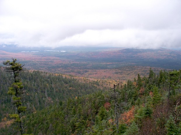
TB R11 WELS

A view from the ridges in TB R11 WELS 2007

          A view from the Appalachian Trail on ridges in TB R11 WELS (2007) This township, in Piscataquis County, is immediately southeast of TA R12 WELS, host to the next northerly section of the Appalachian Trail. The AT briefly (about two miles) passes through the northwest corner of the township as…

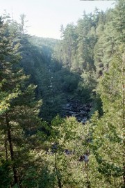
Gulf Hagas

Long view of Gulf Hagas with Forested Cliffs

Gulf Hagas and The Hermitage are both located in the Bowdoin College Grant East, T7 R10 NWP, an unorganized township east of Greenville and northwest of Brownville. The area is part of the Appalachian Trail corridor owned by the National Park Service. Approaches from each town are over a private logging road on which control…

T7 R9 NWP

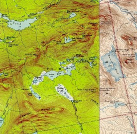
Historic Topographic Map of T9 R9

This township is immediately south of the Bowdoin College Grant East, host to the next northerly section of the AT. The Trail (red dots on the maps) runs from East Chairback Pond, over Chairback Mountain, past West Chairback Pond to Third Mountain and Fourth Mountain in the western edge of the township. In the 1940’s…

Elliottsville Township

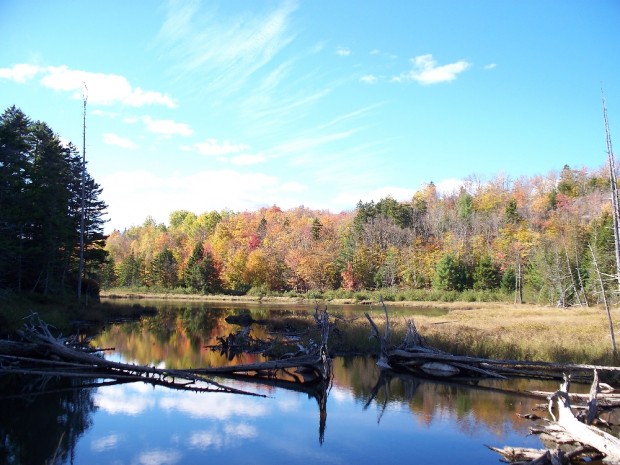
Little Wilson Stream

Incorporated as a town, February 19, 1835,its incorporation was repealed May 26, 1858. Later reorganized as a plantation, January 3, 1887, it was deorganized March 31, 1983. Elliottsville is home to more than a dozen small ponds and the three-mile long Lake Onawa. The lake and southern portion of the township is accessible on the…

Monson

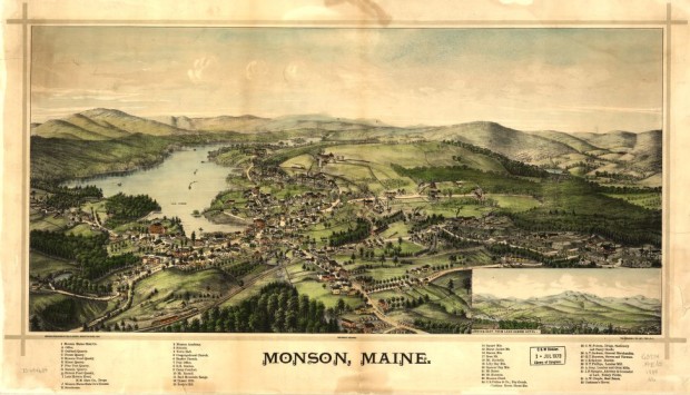
Monson Birdseye View 1889

The Appalachian Trail runs along the northwestern portion of Lake Hebron, then veers north toward the Doughty Ponds. See photos. In Maine, “Monson” often means “slate” to those who know that its high quality products have been shipped worldwide.