Plymouth Township

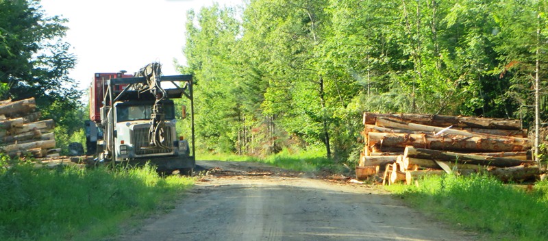
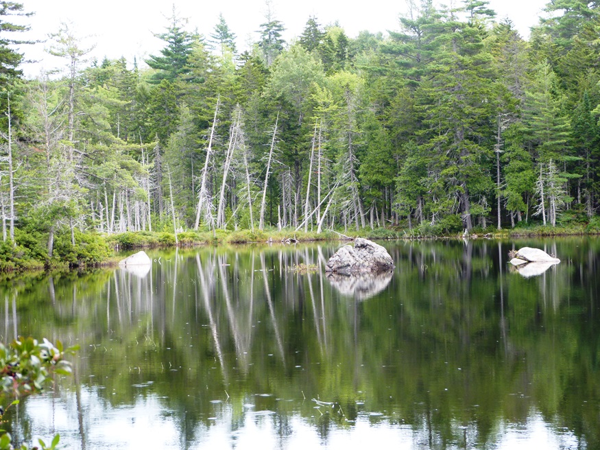
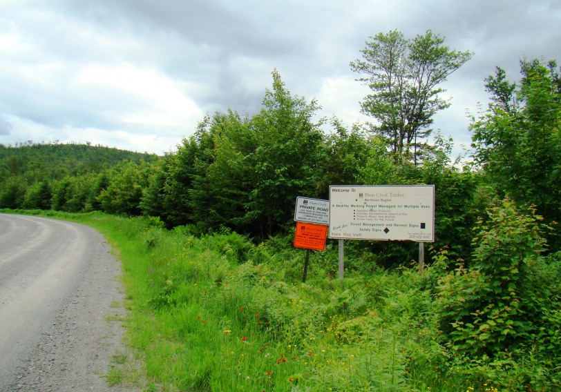
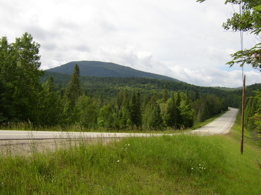
Plymouth Township is in northern Somerset County, northwest of Moosehead Lake. It is split north to south by Seboomook Lake. “Seven Mile Hill” is named for its location, seven miles from Seboomook in the east.                   The northern half is accessed by the Golden Road, which runs…

Prentiss, Penobscot County

Entering Prentiss Township on Combined Routes 169/170 north of Springfield Village (2020)

This sparsely populated area is remote from even moderately sized towns. Maine Routes 169, 170, and 171 cut through the woods and bogs that characterize the area. Prentiss Village is at the junction of routes 169 and 171 in the south-central area of the township. The township’s population has been relatively stable in recent decades at around 200.

Prentiss, Somerset County

Location Map for Prentiss Township in Somerset County

an unorganized township in Somerset County, not to be confused with Prentiss Township T7 R3 NBPP in Penobscot County. As a result of the Maine Indian Lands Claim Settlement Act of 1980, the township is now Passamaquoddy Indian Territory. With few improved roads, access is from U.S. Route 201 in Sandy Bay Township from the Old Kelly Dam Road, which runs along the southern portion of Prentiss. several ponds provide fishing opportunities.

Public Reserved Lands

Richardson Pond in Adamstown Township from Richardson Pond Road in Lincoln Plantation (2018)

Richardson Pond in Adamstown Township from Richardson Pond Road in Lincoln Plantation (2018)   History “Maine’s “Public Reserved Lands” have a unique history. Separate from the state park system and Baxter State Park, and from more recent purchases under the “Land for Maine’s Future” program, these lands have their origin in the “public lots” that…

Redington Township

AT sign on Poplar Ridge

The township is northwest of Mount Abram Township, host to the next northerly section of the Appalachian Trail. Redington is remote from other communities.  Its interior is accessible only by traveling south off Route 16 in Coplin Plantation along secondary roads; or east from Route 16 in Dallas Plantation on the secondary Redington Road that…

Richardson Town Township

Sign: "State of Maine Public Reserved Land" which is located in the Township. (2018)

  This western Maine township in Oxford County near New Hampshire is just east of Magalloway Plantation. It encompasses Upper Richardson Lake with shore frontage on Mooselookmeguntic Lake. Upper Richardson Public Reserved Land is located north of the small village of Upper Dam. The State of Maine’s lake survey combines data for Upper and Lower…

Riley TWP

Boardwalks on the Goose Eye Trail (AT) in Riley Township (2007)

a township in Oxford County, just north of the town of Gilead on the border with New Hampshire. It is home to no lakes, few people, several mountains in the Mahoosuc Range, and the source of Sunday River. It is the entry point for the Appalachian Trail in Maine in a section of the state’s Public Reserved Land. From here it is 281.4 miles to go to reach the summit of Mount Katahdin.

Rockwood Strip

  Two Rockwoods Rockwood is actually two townships with virtually the same name: T1 R1 NBKP (in the east) and T2 R1 NBKP (in the west). They are adjacent to each other in a narrow strip together measuring about 11 miles east-west and 1 mile north south. The townships were probably named for Hiram Rockwood…

Sakom Township

                           (above) Fourth Machias Lake, rough beach, and boat launch site in Sakom Township (2013) Sakom Township, also known as T5 ND BPP, is certainly a “land of lakes.”  Included within it boundaries are major segments of Sysladobis Lake, Pocumus Lake, and Fourth…

Salem Township

                Salem, in Franklin County, was first settled by Benjamin Heath, who cleared land in what was then a portion of Phillips, Maine in 1814. The following year, Heath returned with two other men, who cleared additional lots, and permanently settled with their families in 1816. By 1821…

Sandy Bay Township

Sandy Stream Mountain in Sandy Bay Township East Side of Route 201 (2004)

Sandy Bay is about seven miles north of Jackman Village on U.S. Route 201 and Maine Route 6 through Dennistown Plantation. From its township line beyond Dennistown, the two Routes continue northwest for about ten miles to the Canadian Border and customs facilities. The South Branch of the Penobscot River begins here, trending east through…

Silver Ridge TWP

Logging Truck on 07-00-0, a dirt road in Silver Ridge off the 6000 Road (2014)

Silver Ridge was, once a plantation from 1878 to the 1950s, in Aroostook County, immediately south of Sherman and east of Benedicta Township. Its small and declining population was likely a major factor in surrendering its organization. It is now an unorganized township.  Township population counts are not usually separated from other nearby townships. Both…

Soldiertown Township Somerset

sign: "Welcome to Plum Creek Timber, Northeast Region, . . . ." and other signs on the Demo Mile Road in Soldiertown Township in Somerset County (2008)

Soldiertown is one of two unorganized townships by the same name. This one is in Somerset County and is also known as T2 R3 NBKP. The other Soldiertown, known as T2 R7 WELS, is in Penobscot County. The Northern Road, which runs north from Rockwood Strip to Pittston Farm, hugs the eastern side of the…

Spencer Bay Township

Moose on the Spencer Bay Road near Spencer Pond in Spencer Bay Township (2011)

This township in Piscataquis County abuts a long shore of Moosehead Lake by way of Spencer Bay. The Spencer Bay Road trends northwest from Kokadjo to Spencer Pond in East Middlesex Canal Grant Township. Roach River also flows northwest about five miles from First Roach Pond to Spencer Bay. Campgrounds are frequent along the northeast…

T1 R10 WELS

1952/1949 Topographic Map of T1 R10 WELS

The township is immediately adjacent to T1 R11 WELS, host to the next northerly section of the AT. Traveling south, hikers continue along the southern shore of Nahmakanta Stream and Pemadumcook Lake. The trail then turns south, skirting the eastern edge of steepest portion of Potaywadjo Ridge to the shore of Lower Jo-Mary Lake.  The…

T1 R11 WELS

Detail of 1952 Jo-Mary Mountain, Quadrangle Topographic Map

The township is completely within a tract of Maine Public Reserve Land and lies immediately south of Rainbow Township, host to the next northerly section of the Appalachian Trail. Traveling south, hikers encounter Nesuntabunt Mountain and Nahmakanta Lake that reaches back into Rainbow Township. According to a 1960 survey, Nahmakanta (Abenaki for “plenty of fish”)…

T1 R4 WELS nya

Macwahoc Stream upstream of the Bridge in T1 R4 WELS (2016)

Also known as North Yarmouth Academy Grant Township, it lies just east of T1 R5 WELS. It has no settled village. Macwahoc Stream and an associated bog dominate the northeastern portion. The only improved roads are U.S. Route 2 in the west (where the town line photo was taken in 2014) and U.S. Route 2A…