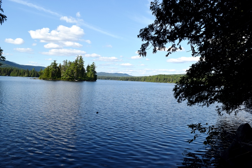
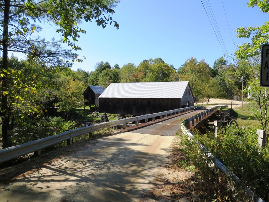
Oxbow

Panoramic View North from Oxbow Road (2008)

Virtually all of the plantation’s population is located along the Oxbow Road, leading West from Maine Route 11. See photos. Aroostook River through the area make shapes similar to oxbows, the harness that keeps oxen attached to their loads. The western end of the Oxbow Road is marked by the “Oxbow Checkpoint,” an entry point to the North Maine Woods, most of which is privately owned.

Owls Head

The Knox County Regional Airport is located in Owls Head and is one of Maine’s busiest during the summer months. Owls Head State Park offers views of Penobscot Bay and the nearby Owls Head Transportation Museum contains vintage aircraft frequently flown over the Bay. Owls Head Light Station marks the southern entrance to Rockland Harbor.

Outdoor Recreation

Rafting near The Forks (2004)

in Maine is a matter of picking the freely available natural resources: streams and lakes for canoeing, nature preserves and mountains for hiking, rivers for rafting on the Penobscot River’s West Branch and the Magalloway River, forests and parks for camping, among the many non-motorized options. Not to mention hunting and fishing opportunities. The Appalachian…

Otis, John

John Otis (1801-1856) a U.S. Representative, was born in Leeds on August 3, 1801. He attended the common schools and was graduated from Bowdoin College in 1823. Otis studied law, was admitted to the bar and began his practice in Hallowell in 1826. A member of the Maine House of Representatives in 1841, he was…

Otisfield

Bridge Over the Crooked River from Otisfield to Harrison (2012)

Just north of the town of Casco on Maine Route 121, it offers substantial frontage on Pleasant and Thompson Lakes. The Crooked River serves as its boundary with Harrison. The Bell Hill Meetinghouse and Bell Hill Schoolhouse are well-preserved National Register historic structures in a rural setting.

Otis

Boat Launch on Beech Hill Pond (2013)

Located just north of Ellsworth, the town is dominated by Floods Pond and Beech Hill Pond, with several smaller ponds and streams mixed in. See photos. The small, old cemetery and the working forest symbolize Otis’ past and present as a sparsely populated, wooded area off the major highways.

Public Reserved Lands

Richardson Pond in Adamstown Township from Richardson Pond Road in Lincoln Plantation (2018)

Richardson Pond in Adamstown Township from Richardson Pond Road in Lincoln Plantation (2018)   History “Maine’s “Public Reserved Lands” have a unique history. Separate from the state park system and Baxter State Park, and from more recent purchases under the “Land for Maine’s Future” program, these lands have their origin in the “public lots” that…

Osborn Plantation

Panoramic View of Mountains looking West from Route 179 in Osborn (2013)

Osborn hosts two lots of Maine’s Public Reserved Lands with many trees well over 100 years old. The Osborn lots have a long history of timber management. Spectacle Pond, through which the Union River flows, is a major asset of the town. With few major roads, it is served in its northwest corner by Maine Route 179.