T1 R10 WELS

1952/1949 Topographic Map of T1 R10 WELS

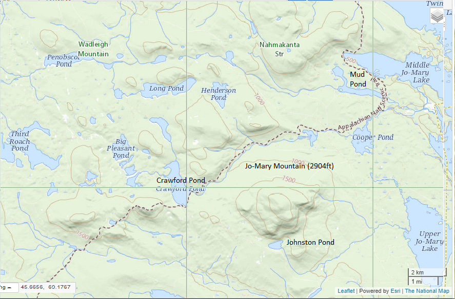
The township is immediately adjacent to T1 R11 WELS, host to the next northerly section of the AT. Traveling south, hikers continue along the southern shore of Nahmakanta Stream and Pemadumcook Lake. The trail then turns south, skirting the eastern edge of steepest portion of Potaywadjo Ridge to the shore of Lower Jo-Mary Lake.  The…

TA R10 WELS

Area of TA R10 Township as represented in the 1952 Topographic Map.

                  Area of TA R10 Township as represented in the 1952 Topographic Map. This township is immediately adjacent to T1 R11 WELS, host to the next northerly section of the AT. The trail generally tracks east-west, except for a short northwest-southeast section between Mud Pond and Lower…