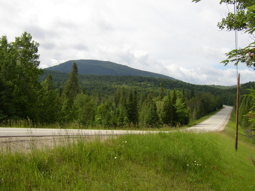
Sandy Stream Mountain in Sandy Bay Township East Side of U.S. Route 201 (2004)
Sandy Bay is about seven miles north of Jackman Village on U.S. Route 201 and Maine Route 6 through Dennistown Plantation. From its township line beyond Dennistown, the two Routes continue northwest for about ten miles to the Canadian Border and customs facilities.
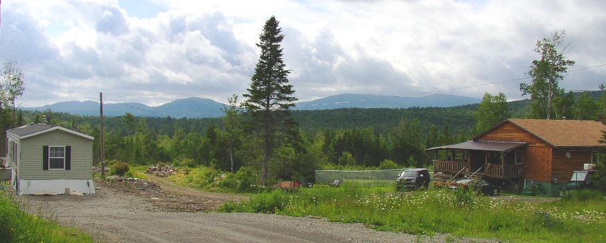
Mountains, Mobile Home and House in Sandy Bay Township (2004)
The South Branch of the Penobscot River begins here, trending east through Somerset County’s Prentiss Township to Canada Falls Lake and Pittston Academy Grant Township.
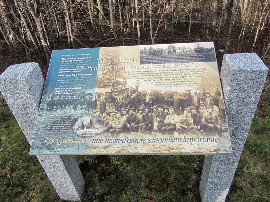
Panel near “The Falls” in the southeast corner of Sandy Bay Township (2014)
The historic Chaudiere Corridor’s 230-mile route stretches from Quebec City on Canadian Route 173 as it meets U.S. Route 201 in Sandy Bay, to Popham State Park in Phippsburg.
The corridor extends for 16 miles on either side of the two routes. It memorializes the movement of indigenous people, and later the Canadian Acadians migration from Quebec to work in the mills of Maine. (Click to enlarge the panel.)
The panels near U.S. Route 201 are adjacent to “The Falls,” Rest Area. The Falls are powered by Sandy Stream.
Does the City of Sandy Bay own Sandy Bay Mountain?