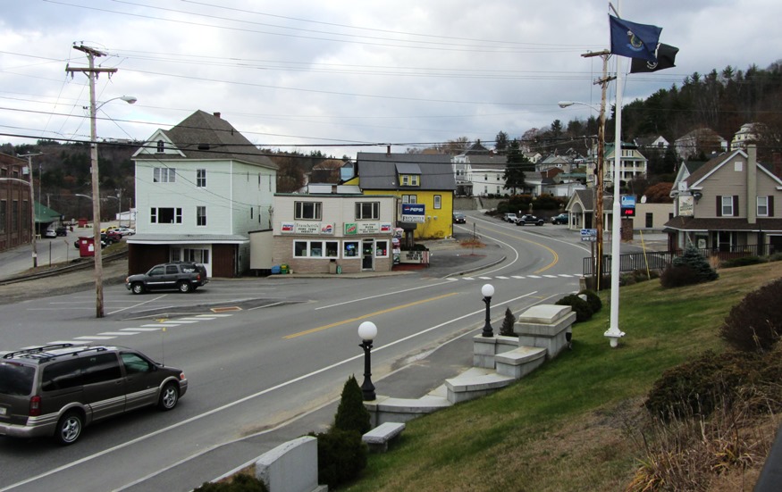
Houlton

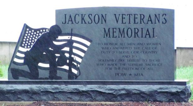
In 1828 a military post was established and the military road to supply the post was completed in 1832. The garrison stayed until the Webster-Ashburton treaty was completed in 1842. See photos. Served by the New Brunswick and Canada Railway as late as 1886. By 1894 the new Bangor and Aroostook Railroad connected the town to central Maine. The “Houlton Band” of the Maliseet Indians has its tribal offices near the Canadian border.

Howland

Penobscot River South of Howland Village on Route 116 (2005)

Att the junction of the Piscataquis River with the Penobscot, and Seboeis Stream with the Piscataquis, it once had a thriving paper mill, The Advance Bag and Paper Company. See photos. The old mill remains empty. Maine Inland Fisheries and Wildlife supervises the Old Pond Farm Wildlife Management Area featuring eagles, osprey, deer, moose, and water birds.

Hudson

sign: "Welcome to Hudson"

Little Pushaw Pond is in the northwest portion of the town. Pushaw Stream flow from it to Pushaw Lake in the southeast. See photos. Hudson is a growing community in a rural setting with easy access to Bangor and to the University of Maine in Orono.

Industry

Settled in 1783, Industry’s main villages are Allens Mills, at the southern end of Clearwater Pond, and West Mills. The mills produced wood and leather products, tools and flour. See photos. Goodridge Corner school, the “little red schoolhouse,” is the home of the town’s historical society.

Island Falls

William Sewall became a wildlife guide and companion to Theodore Roosevelt in the 1870′s. The town has frontage on almost half of Pleasant Lake. See photos. The nearby Walker Settlement hosts a golf course and residential development near the lake. Several large homes recall the heady days when potato was king in the County. One of those was that of Governor Carl E. Milliken. Island Falls has had industry in the form of lumber mills, grist mills and a starch factory.

Isle au Haut

Location Map of Isle-au-Haut

Samuel de Champlain apparently named it in 1604 from the French for “high island.” About half the island is incorporated into Acadia National Park. Isle au Haut is both a lobstering community and a retreat for seasonal cottage owners. It has also been home to author-fisherman Linda Greenlaw.

Islesboro

Islesboro Ferry Terminal (2014)

is the marker for dividing East Penobscot Bay from West Penobscot Bay. It includes North and South Islesboro connected by a narrow segment of land, See chart and photo. Seven Hundred Acre Island, Job Island. The 129 acres of forested Warren Island hosts a state park with a dock and moorings. Grindel Point Light Station in Gilkey Harbor on Islesboro was established in 1850.

Jackman

James Jackman, was usually called “Captain Jackman.” He was contracted by the State to build the Canada Road from the Forks to the Canadian border. See photos. The village is on the shore of Wood Pond in Attean Township. Attean Pond and Attean Mountain are southwest of the village in an area designated as one of Maine’s “public reserved lands.” The area provides attractive fishing and hunting opportunities, canoe trips on the Moose River, and jobs for workers in the logging industry.

Jackson

Part of the Waldo Patent, it was acquired by General Henry Knox shortly after the American Revolution. He later sold it to Israel Thorndike who developed a large farm, the “Great Farm.” See photos. The adjoining town of Thorndike bears his name. An intact stone wall from a 19th century mill at Hadley Mill Pond recalls the town’s early industries.

Jay

Main Street in Jay near the Mill and Androscoggin River (2013)

Both Jay and Livermore Falls, have been paper mill towns on the River since the 19th century. See photos. Jay’s town line cuts through Livermore Falls village with little obvious effect. The VFW Post is just a few hundred feet north of Livermore Falls. Jay was the scene of an extended and bitter strike of workers against the International Paper Androscoggin mill in 18987-1988. The white granite for President Ulysses S. Grant’s tomb came from North Jay

Jefferson

Abandoned granite quarries and clay banks where bricks were made suggest the early economic activities of the area. See photos. Several fine farm houses and barns have survived to recall the great heritage of the town. See images below from the Library of Congress of the old cattle pound.

Jonesboro

village is in Washington County on U.S. Route 1 where it splits to create Route 1A, then both reunite at Machias to the northeast. See photos. Chandler River, which empties into Englishman Bay, runs through the village. The banks of the river show evidence of ruins, possibly a dam. Hannah Westin, and her sister supported the effort to capture the British vessel Margaretta in 1775.

Jonesport

The town hosts a U.S. Coast Guard station, headquartered at the entrance to the Jonesport-Beals Bridge. See video and photos. The main village, a lobster fishing center, is located on Moosabec Reach and the Indian River. Two nature preserves are in the town, both on islands. A bridge across the Reach leads to the island community of Beals.

Kenduskeag

Although its population is relatively stable, its character is slowly becoming more of a suburb of Bangor than the rural community of earlier times. See photos. The municipal building houses the post office, the town office, and the fire department. Kenduskeag Stream passes through the town.

Kennebunk

The name means “the long cut bank” for a land formation near the sea. Shipbuilding and shipping were once staples of the economy, now oriented to tourism and light manufacturing. See photos. The conversion of historic buildings for contemporary use and the historic districts have enhanced Kennebunk’s attraction for visitors and new residents.

Kennebunkport

Dock Square list of Shops in Kennebunkport (2012)

in York County, incorporated 1653 as Cape Porpoise. See photos. After early white settlers were driven away by Indian raids, it was reorganized as Arundel in 1718. In 1821 its name was changed to Kennebunk Port. It has long been an attraction for tourists and summer residents. Well-known residents included writers Booth Tarkington and Kenneth L. Roberts.

Kingfield

Now a “four season” recreation center, located half way between the North Pole and the Equator, it is the gateway to Sugarloaf Mountain Ski Area in Carrabassett Valley. See video & photo. Named for Maine’s first governor, the town hosts the Stanly Museum (of Stanley Steamer fame).

Kittery

Portsmouth Naval Shipyard (2013)

in York County serves as the gateway to Maine from points south with its old and more modern bridges spanning the Piscataqua River. See video & photos. The federal government established the Navy Yard in 1806. The 74-gun ship Washington was the first vessel built there in 1815. The town’s long history is partially illustrated by the substantial list of historic sites.