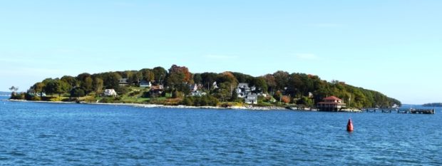
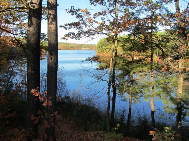
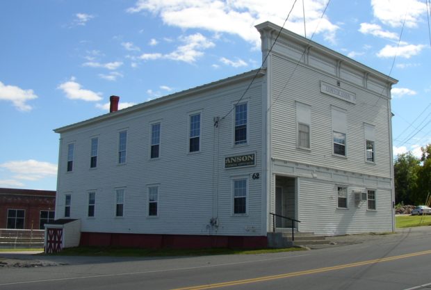
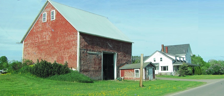
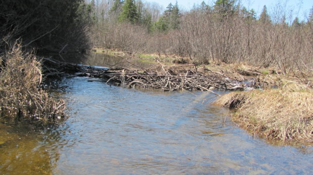
Litchfield

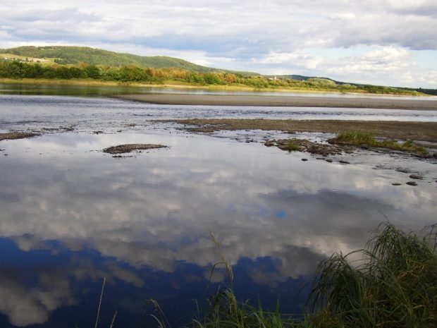
The town contains the Tacoma Lakes, Cobbosseecontee Stream, a portion of Cobbosseecontee lake, Pleasant Pond, and several other ponds. See photos. Between Lewiston and Augusta, it offers summer cottage locations for many area residents. Litchfield Corners, in the southern tip of the community, hosts an old tavern, new town office and a country store.

Littleton

in potato country north of Houlton, it is split by U.S. Route 1 and borders Canada on its east. See photos. It is home to Southern Aroostook Agricultural Museum. Watson Settlement Bridge, built in 1911, is the oldest surviving Howe Truss system in a Maine covered bridge. The Littleton Esker is west of U.S. Route 1 just north of the Littleton-Houtlon town line.

Livermore

Livermore, the main village, fronts on Brettuns Pond. A boat launch is located off Route 4. Near Livermore village several old community buildings suggest an earlier location for the village center. North Livermore village is centered on twin water bodies, Round Pond and Long Pond. North Livermore Baptist Church graces the community, just north of “The Norlands” a living history center.

Livermore Falls

Livermore Falls Birdseye View 1889

For years Livermore Falls was a thriving paper mill town. See video and photos. Recently, the employment future has become less certain, as shown by the age of the housing stock. Pikes Corner at Route 133 and 106 is in the East Livermore area, in Livermore Falls. The town is directly north of the Lewiston-Auburn area. An extensive logging and manufacturing operation produces wood pallets.

Local Government

Anson Town Office on Main Street (2003)

in New England traces its origins to 1620 and the Mayflower Compact written and agreed to by the Pilgrims of Plymouth Colony. By 1652 the Colony asserted its authority over that part of Maine known then and now as York(shire) County. By having local townsmen sign a statement accepting that authority, the tradition of popular…

Long Island

Town of Long Island Community Center (2018)

is a town in Cumberland County incorporated in 1992, the first new town in Maine since 1925, from an island in Casco Bay once a part of Portland. See map. It has several beaches, harbors, a fresh water marsh, and a 125 acre conservation area. In addition to the post office, there is one year-round store, and a store and a gift shop open seasonally. A “guest house” is also open all year. The village is at the southwestern end with the town office, community center, library, and a K-5 school.

Lovell

Fall Mountain View in North Lovell on Route 5 (2004)

The town is named for John Lovell (or Lovewell), the hero of the Battle of Lovewell’s Pond in 1725, in which he was killed but the remaining Abenaki people abandoned the area. See photos. One of the lodges at Kezar Lake was owned by stage and screen star Rudy Vallee. Center Lovell, in the shadow of Sabattus Mountain, is the primary village, located on the shore of Middle Bay.

Lowell

Grist Mill Equipment at Eskutarsis Stream in East Lowell (2014)

The relatively new town office and community center is in East Lowell on Route 188 near Vinegar Hill Road. See photos. The village is at Eskutarsis Road, Tannery Road and Route 188, known as West Main Road and East Main Road. Mill Stream, the outlet from Eskutarsis Pond, once hosted a grist mill. A piece of its machinery sits on the bank. Lowell has been a high growth town, adding to its population at an average rate of 24% in each census since 1970, though not close to an urban center.

Lubec

West Quoddy Head Light is the eastern most lighthouse in the United States.

Lubec contains the easternmost point in the United States: West Quoddy Head, on which the famous lighthouse of the same name sits. See video and photos. A State Park is nearby. Lubec is the birthplace of Myron Avery, a key to the creation of the Appalachian Trail and a founder of the Maine Appalachian Trail Club. The sardine industry important in the late 19th & early 20th centuries.

Ludlow

This “half-township” (New Limerick occupies the other half of the original township) lies just west of the northern portion of Houlton. Ludlow is an agricultural community in the heart of southern Aroostook potato county. The soybean in the article is an example of the continuous, historic attempts to diversify the county’s farm economy.

Lyman

Dam and Spillway near the old Sawmill (2003)

Earlier called Swansfield, it was named after Theodore Lyman of York, a successful businessman and Boston merchant. Goodwins Mills is a village straddling the town lines of Lyman and Dayton. The first saw and grist mills were located there in 1782. Lyman’s United Methodist Church was established in 1840. Dotted with ponds, the area is a rural commuter community with easy access to Sanford and the Biddeford-Saco areas..

Machias

Sheriff

The town, and its Burnham Tavern, was the site of anti-British plotting resulting in capturing the schooner Margaretta. The Tavern was built in 1770, the only building in eastern Maine directly connected with the American Revolution. The Washington County seat, it is located on the Machias River, the engine of its earlier lumbering and shipbuilding industries. Once a haven for pirates, and now a commercial center, it is home to the University of Maine at Machias.

Machiasport

Libby Island Light Station (1966)

The town lies primarily on the west side of Machias Bay as the Machias River enters the Bay. It offers many sheltered harbors including the well known Bucks Harbor. Machiasport was at the center of controversy in the late 1960’s when an oil terminal was proposed, unsuccessfully, for the quiet coastal community.

Macwahoc

The name (the Indian term for “bog” or “wet ground”) is appropriate since the main village lies at the north end of a bog on Molunkus Stream. See photos. The township has some frontage on Molunkus Lake. A 485 acre section of Maine Public Reserved Land is here.

Madawaska

was named for the river whose Indian name means “having its outlet among the reeds” and “worn out grass (land).” A monument marks the landing of the Acadians. Its main street, U.S. Route 1, is dominated by Fraser Paper Company, whose plant straddles the border with Edmunston, New Brunswick. Agriculture remains a significant portion of the economy. Most residents in this heavily Catholic community are fluent in French and have extended family members in Canada.

Madison

Madison Paper Industries (2009)

The site of many mills in its history, its largest has been a paper mill at the dam where U.S. Route 201 crosses the Kennebec River from Anson. Until the end of the log drives in 1976, the river was often choked with pulp logs destined for this mill and others. The Lakewood Summer Theater, opened in 1901 in East Madison. Benedick Arnold passed through on his way to Quebec.

Magalloway Plantation

Signs at the entrance to Fish Pond Road in Lincoln Plantation

Named for the Malecite Indian word for “caribou,” it is located on the New Hampshire border, with substantial frontage on Umbagog Lake and on Upper and Lower Lower Richardson Lakes. A section of Maine Public Reserved Land sits just north of the Lake Umbagog National Wildlife Refuge on that lake’s Sunday Cove. The plantation is accessible from Maine Route 16 in Lincoln Plantation.

Manchester

Still a basically rural community, Manchester has maintained its old 1793 North Manchester Meetinghouse. It also features a sustainable forestry project within a few hundred yards of the Meetinghouse on Scribner Hill Road. A suburb of Augusta, the town has substantial frontage on the northern half Cobbosseecontee Lake.

Map of Municipalities

Map of Maine Minor Civil Divisions

Maine has nearly 500 municipalities – cities, towns, and plantations. The forms of local government vary, but each municipality is placed within one of Maine’s sixteen counties. To go to an article describing a particular municipality, move the cursor over the map until the name of your selection appears. Then click to see the article.…