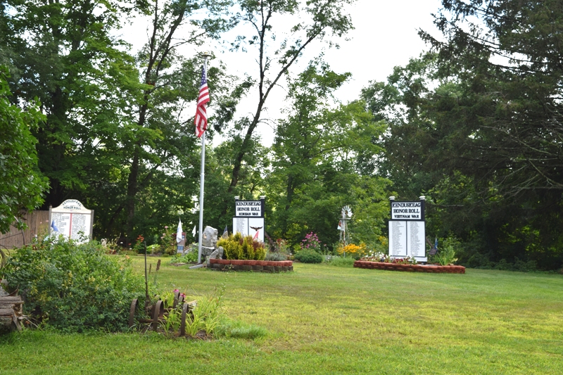
Kenduskeag Veterans Honor Role

Location Map for Kenduskeag
| Year | Population |
|---|---|
| 1970 | 733 |
| 1980 | 1,210 |
| 1990 | 1,234 |
| 2000 | 1,171 |
| 2010 | 1,348 |
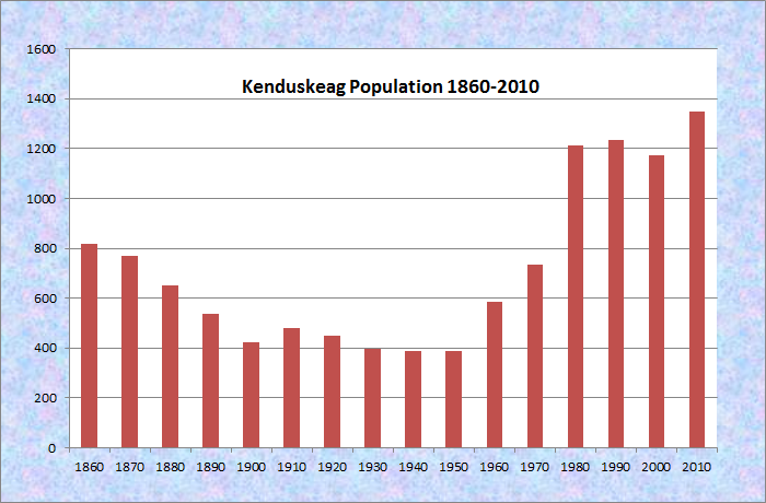
Population Trend 1860-2010
| Geographic Data | |
|---|---|
| N. Latitude | 44:55:12 |
| W. Longitude | 68:55:52 |
| Maine House | District 102 |
| Maine Senate | District 10 |
| Congress | District 2 |
| Area sq. mi. | (total) 16.8 |
| Area sq. mi. | (land) 16.8 |
| Population/sq.mi. | (land) 80.2 |
County: Penobscot
Total=land+water; Land=land only |
|
[Ken-DUS-keg] is a town in Penobscot County, incorporated on February 20, 1852 from portions of Levant and Glenburn. White settlers had appeared in the early 1800’s. The town is significantly smaller than most others at 16.8 square miles versus an average of 38 square miles.
")
Sign: Welcome to Kenduskeag (2005)
")
Stream in the Village (2005)
Both the town, and the stream of the same name that passes through it, share the Maliseet name Kenduskeag meaning “eel weir place.”
Explorer Samuel de Champlain witnessed Indians trapping eels here in 1604 as he explored the upper navigable reaches of the Penobscot River.
In the 1880s, A Gazetteer of the State of Maine noted :
")
Mystic Tie Grange (2005)
“The manufactures are long and short lumber, cooperage, horse-rakes and cultivators, stoves and agricultural implements, meal and flour, cheese, etc.
The village has many tasteful residences, and the streets are beautified by well-grown elms and maples.
There is here a substantial covered bridge, 130 feet in length, spanning the Kenduskeag.”
")
Case Memorial Library on Townhouse Road (2005)
")
Kenduskeag Union Church on Townhouse Road (2005)
")
Municipal Building (2005)
Although its population is relatively stable, its character is slowly becoming more of a suburb of Bangor than the rural community of earlier times. The municipal building houses the post office, the town office, and the fire department.
The village is the launch site for the annual spring Kenduskeag River Race. It is more a fun filled endurance test than a race, ending in downtown Bangor.
")
In the Village (2015)
")
Launch Area (2015)
2020
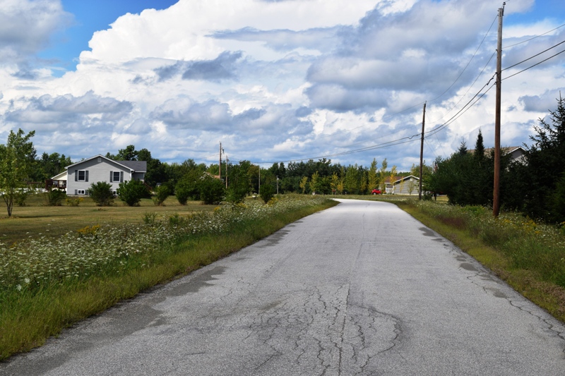
Western Kenduskeag, a bedroom community for Bangor, features houses in an attractive rural setting.
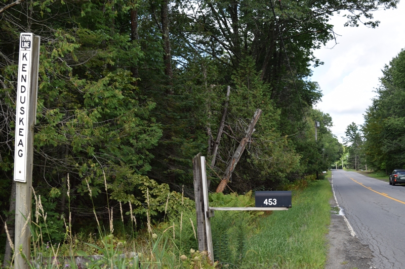
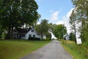
Entering from Stetson (2020)
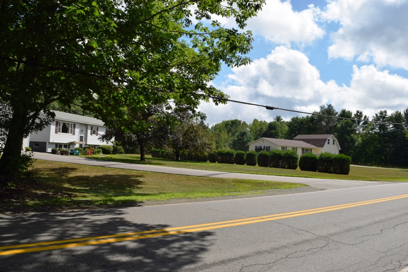
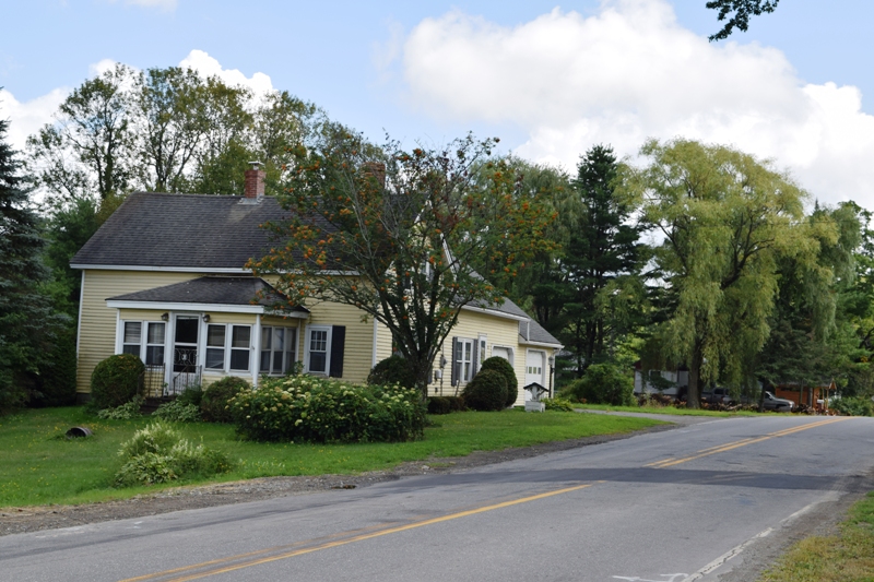
House on Stetson Road (2020)
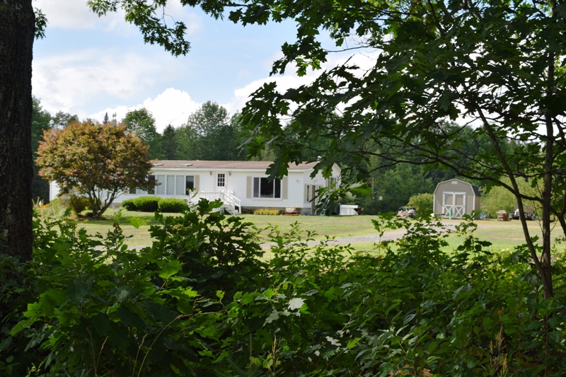
House on Stetson Road (2020)
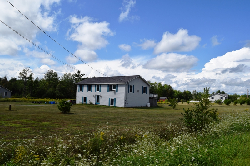
Houses in western Kenduskeag
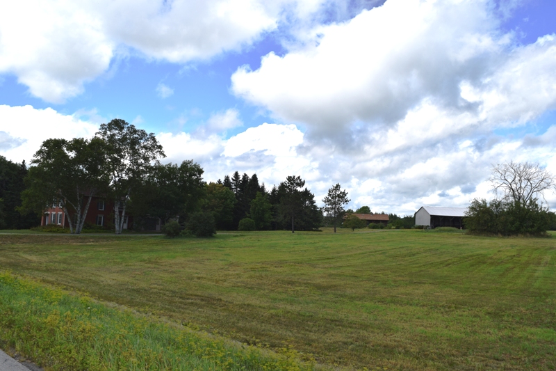
Farm in Kenduskeag (2020)
Houses on Side Street (2020)
Form of Government: Town Meeting-Select Board.
Additional sources
Chadbourne, Ava Harriet. Maine Place Names and The Peopling of its Towns.
Tales of the Kenduskeag. Edited by Jim Smith and Fern Stearns. Milford, Me. Fiddlehead Follies. c1993.
Varney, George J. A Gazetteer of the State of Maine. 1881. p. 293-294.
Winters, Erma. A History of Kenduskeag, Maine. Kenduskeag, Me. 1966, c1973 Bangor. Furbush-Roberts Printing Co.
I am writing this note today because I felt nostalgic and was looking at different websites providing information on Maine. I was born in Castine and lived in Kenduskeag. I have many relatives in the old cemeteries in the surrounding areas.
My last trip to Kenduskeag was in 2016 and I didn’t recognize where I grew up, except the old covered bridge was nearby. We had a 95-acre farm in the 1950s that included Kenduskeag Stream frontage. Now the home and barn are gone and the land is covered with stick homes. It is like we never existed. It is an example of how life does not sit still.