Gilead

Sign: Welcome to The Town of Gilead (2013)

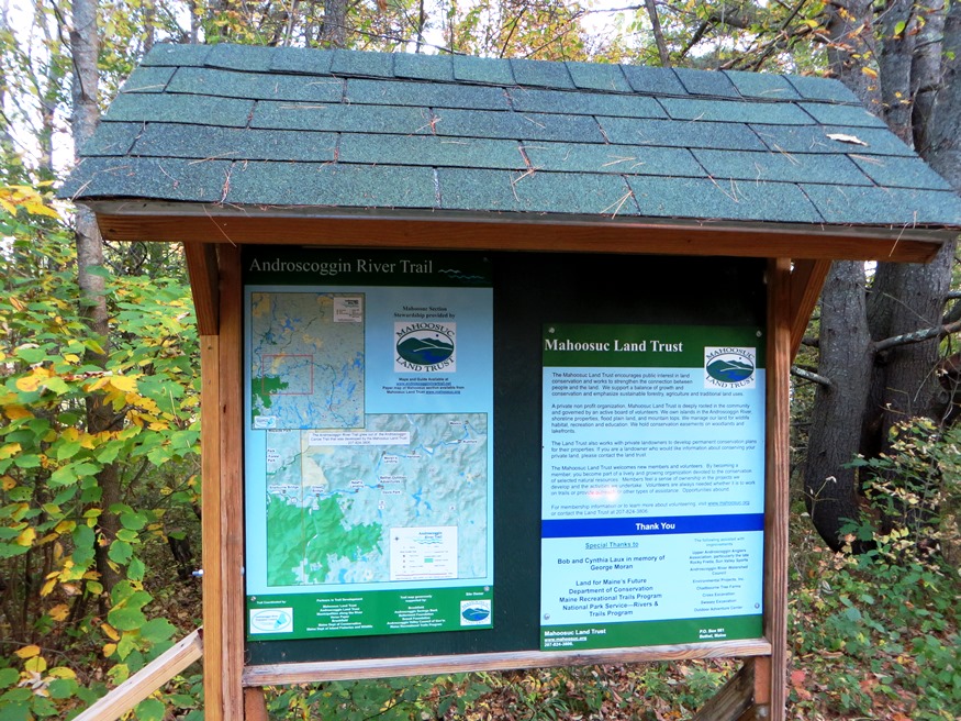
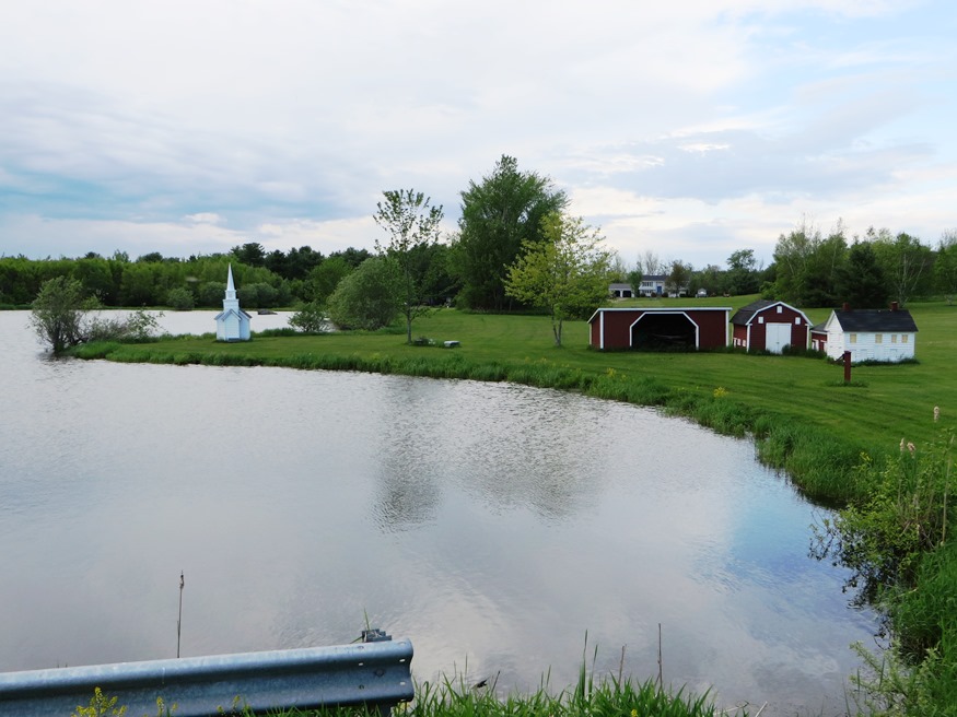
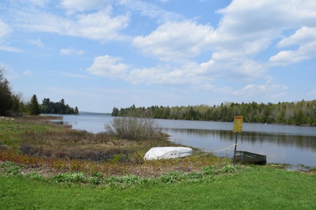
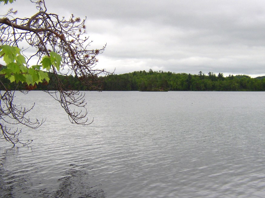
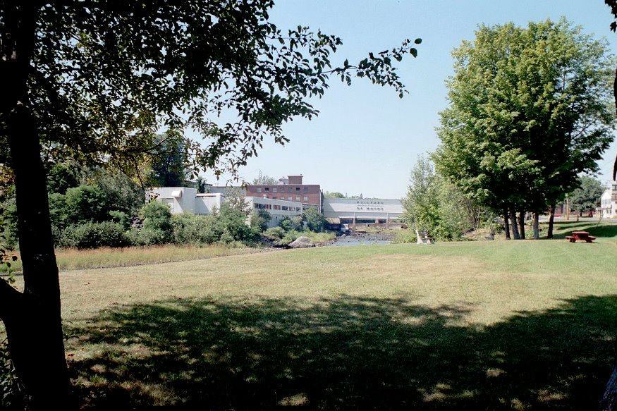
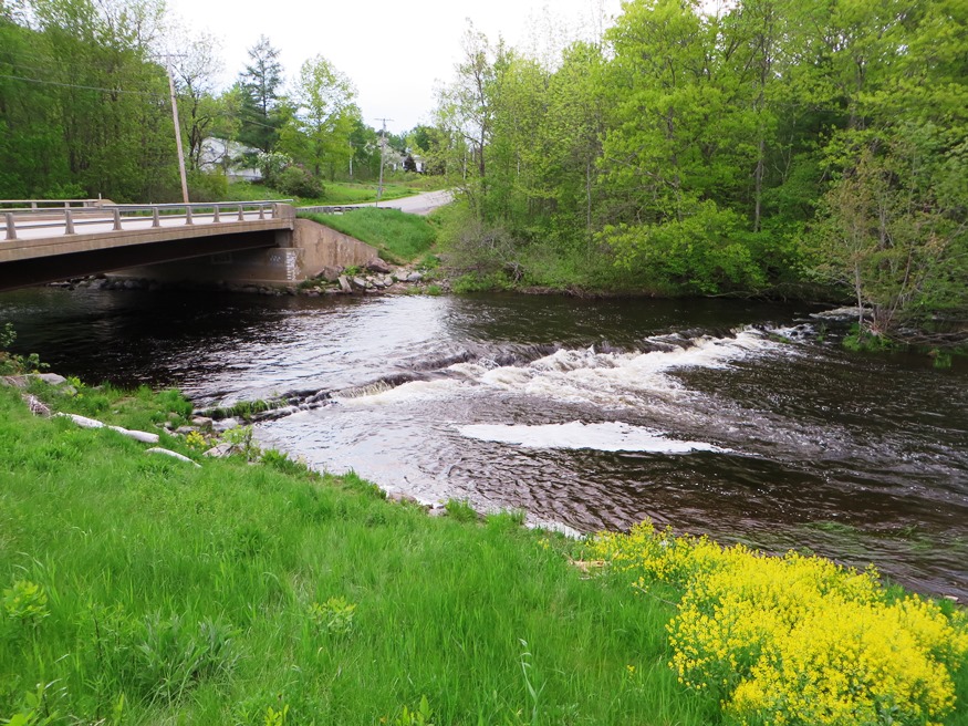
the Androscoggin River splits Gilead down the middle from west to east, flowing between two mountain ranges. See photos. Only one bridge crosses at the village. In 1973 the U.S. EPA was documenting pollution in the river. A brief canoe trip makes about five of its six miles through Gilead to West Bethel, with spectacular views of the Presidential Range.

Glenburn

Model Village of Glenburn on the Sparkle Pond Road in Glenburn (2014)

The town is becoming a major suburb of the Bangor area with population expanding nearly four-fold in the 40 years 1970-2010, and growing 16 percent 2000-2010. Glenburn’s school contains the public library. See photos. In Penobscot County, it was incorporated in 1822 under the name of Dutton, changed to Glenburn in 1837. Dutton held a major interest in the original township, became a Judge of Probate and a founder of Bangor Theological Seminary.

Glenwood

Glenwood contains most of Wytopitlock Lake (the balance is in T2 R4 WELS) and Orcutt Brook, which empties into it. In 2004 only a few camps were scattered along the rocky shore. The Bureau of State Parks and Public Lands owns and maintains a boat launch in the shallow outlet cove, located in Glenwood. Wytopitlock Stream is the outlet and the start of a popular canoe trip. Glenwood is subject to the Maine Land Use Regulation Commission, which has identified critical natural areas in the plantation.

Gorham

University of Southern Maine, Gorham Campus (2001)

First called Narragansett Number 7, it was granted to men who fought in the Narragansett War of 1675. Gorham Academy, founded 1803, became Western State Normal School, University of Maine at Gorham, and now Gorham Campus of the University of Southern Maine. The home of former governor Percival P. Baxter has become a museum of Indian artifacts and rare coins. Several other notables lived here.

Gouldsboro

First inhabited by Europeans in 1700, the town occupies the upper portion of a peninsular stretching from Frenchman’s Bay on the west to West Bay and Gouldsboro Bay on the east. a town of working fishermen and summer visitors, its harbors, such as Birch, Prospect and tiny Corea, offer welcome protection to coastal vessels.

Grand Isle

Our Lady of Mount Carmel (2003)

The Name commemorates the large and fertile island within the town and in the middle of the St. John River just south of the village of Lille. Lille is home to an extraordinary Catholic church, a nationally recognized historic place. See photos. U.S. Route 1 and the Bangor and Aroostook Railroad both hug the Maine side of the St. John River.

Grand Lake Stream

The sparsely populated area has its main village, Grand Lake Stream, on the stream of the same name that connects West Grand Lake with Big Lake to the south. The surrounding lakes offer a fishing and wilderness experience prized by those who visit them.

Gray

While Gray has a storied history, the center of Gray village is a busy contemporary place, the crossroads of 5 highways. See video and photos. In the 1770s it was attacked by Indians, destroying cattle, the meetinghouse and all houses. Home to the historic Pennell Institute and a suburb of the Portland area, Gray includes most of Little Sebago Lake and Crystal Lake.

Great Pond Plantation

Great Pond in the Town of Great Pond (2013)

The small main village is a mile south of Great Pond. The town office, an old church, and a few houses are there. See photos. “Stud Mill Road” runs east-west through the Plantation from Washington and Hancock counties, to the Costigan stud mill in Milford. The Union River, outlet from Great Pond, flows south through Ellsworth to Union River Bay. The Navy has a recreation center at the lake.

Greenbush

Helen S. Dunn School (2012)

Located on the east bank of the Penobscot River, Greenbush includes several islands, the largest of which, Olamon, abuts Olamon Stream as it empties into the river. Olamon, the name of a village near the island, means “red paint.” The Indians traveled up the stream to retrieve the red ochre they used as paint for decorating their bodies. Greenbush village is on the River and U.S. Route 2. A smaller village, Cardville, is in the middle of the township on the Cardville Road.

Greene

Sawyer Road with Horse Farms (2013)

With the Androscoggin River as its west boundary, the town’s east lies substantially along Sabattus Pond. The more densely populated area surrounds Route 202 near Greene Village. South from there is a rural landscape and views of Sabattus Pond. Inventor Leonard Norcross lived here in the early 19th century as a young boy. Since 1970 the increasingly suburban community in the Lewiston-Auburn area has more than doubled its population.

Greenville

Plaque noting the early settlement of Greenville and the site of its first school

On the shore of Moosehead Lake, it serves as the gateway to Lily Bay State Park and to the upper reaches of the lake via combined Maine Routes 6 and 15. See video and photos. It is also an access point for Elephant Mountain and the preserved site of a B-52 bomber crash in 1963. In 1853 Henry David Thoreau met his guide, Joseph Atteon, in Greenville before boarding a steamboat passing Mount Kineo, to Northeast Carry for the portage to the West Branch of the Penobscot River.

Greenwood

Located just east of Bethel on Maine Route 26, the Village of Locke Mills in the town of Greenwood lies on the shore of Round Pond which is linked to nearby North Pond and South Pond. One early resident was L. L. Bean, who was born here. The town has shown consistent, moderate population growth over the past forty years.

Guilford

Park in Guilford with mill buildings downtown (2002)

The Piscataquis River flows through the main village with neighboring Sangerville, formed with some land from Guilford, on the southern shore. The town was long a center for textile production. The late 20th century was marked by fires, floods, and economic instability, but the early 21st century opened with efforts at renewal with a river festival and downtown revtlalization.

Hallowell

Just one of many early "Grand Houses" in Historic Hallowell (2019)

Early in the 19th century, Hallowell on the Kennebec has become an important commercial center in the District of Maine. River ice and shipbuilding were staple industries. Granite quarries were active and productive in the 19th century, with one on “Granite Hill.” Maine’s smallest city in area has a vital downtown with antique and book shops, along with restaurants. See photos. The first settler arrived in 1762; surveyor Ephraim Ballard, in 1776; his wife Martha, the next year. Maine’s first Anti-Slavery Society was founded here in 1833.

Hamlin

U.S. Inspection Station in Hamlin (2016)

a plantation in Aroostook County, organized in 1859 for election purposes and formally organized for general purposes in 1895. Named for Hannibal Hamlin, President Lincoln’s first Vice President, this northeastern community is bounded on the north by the St. John River. See map. The population is concentrated along the river on the Hamlin Road (U.S. Route 1A). Hamlin is subject to the Maine Land Use Regulation Commission, which has identified critical natural areas in the plantation.

Hammond

Location Map for Hammond

Hammond is west of Littleton and northwest of Houlton in southern Aroostook County, clearly “off the beaten path” of U.S. Route 1. However, it has sustained, and increased, its small population over four decades. Access to the public “Hammond Lot” is through the small village in the southeast near Houlton. B stream runs west to east through the southern portion of the township, from B Pond through B Dam in the east.

Hampden

Apparent former Dam Site for the Old Emerson Mill on Emerson Mill Road (2014)

The town is a suburb of Bangor lying just south of that city on U.S. Route 1A. It hosts a regional U.S. Post Office processing center. Hampden Academy was established in 1803. The Grange Hall, one of the first chartered Granges in 1880. See photos. While teaching here Stephen King was spending his spare time writing short stories and novels. It is the birthplace of social reformer Dorothea Dix. Settled in 1767 it was once known as Wheelersborough after the first settler, carpenter, and mill owner.

Hancock

Egypt Bay from Route 182 (2004)

Hancock Village lies south of the junction on a peninsular, with Taunton Bay on its northeast and Skillings River on the southwest. Further south are the villages of South Hancock and Hancock Point. See photos. A Wildlife Management Area near Egypt Bay is open to the public for primitive forms of recreation including hunting and trapping.

Hanover

Kiosk at the River, noting the Androscoggin River Trail, by the Mahoosuc Land Trust (2014)

Hanover is experiencing home and vacation property development at a more rapid pace. The small town is receiving more interest within the greater area as development in neighboring larger towns is spreading. As with many Maine communities, the number of full-time residents is declining as non-resident vacation homes increase.