Webster
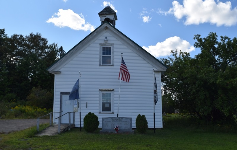
This sparsely populated plantation in Penobscot county is primarily marshlands and streams, with the exception of Tucker Ridge and Pickle Ridge where Tucker Ridge Road and Pickle Ridge Road serve the plantation’s residents. It contains a portion of the Mattawamkeag River System Wildlife Management Area and the “Webster Lot” of Maine’s Public Reserved Land.
")
 N45° 40")
")
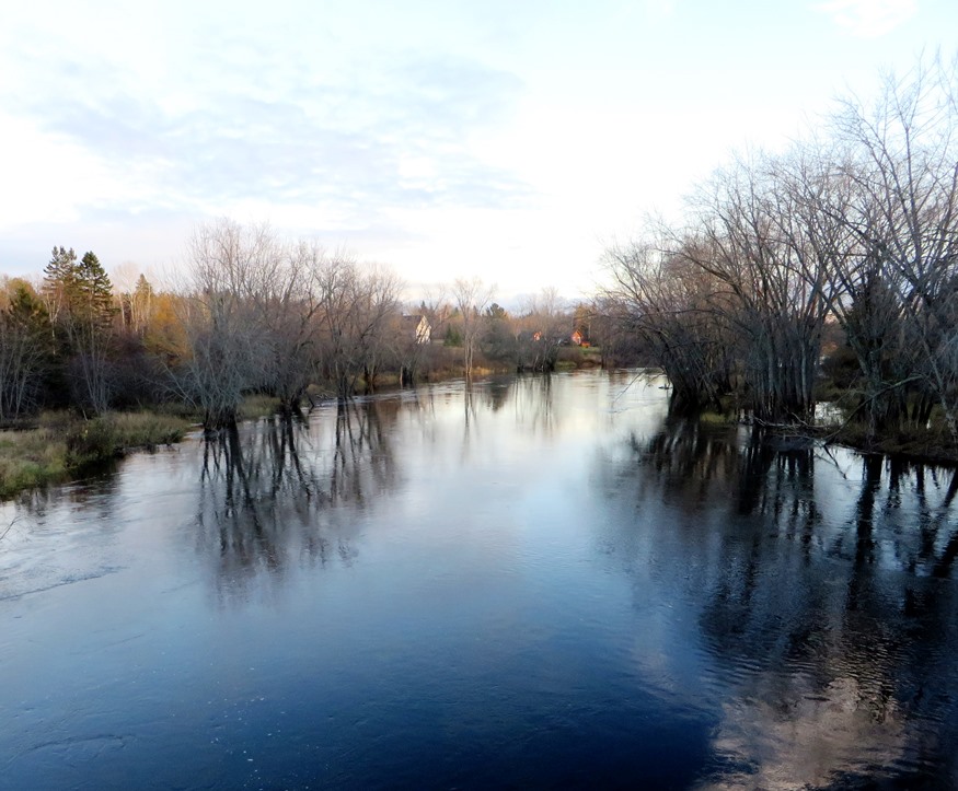
![Upper Gordon Falls on the Mattawamkeag River (2016) [See video]](https://maineanencyclopedia.com/wp-content/uploads/160425-RW014-Copy.jpg)

")