Merrymeeting Bay

Location Map for Merrymeeting Bay

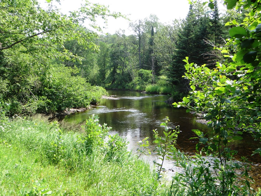
Merrymeeting Bay is a broad expanse of water at the confluence of the Kennebec and Androscoggin rivers, and four smaller rivers: the Eastern (from Dresden), the Abagadasset, the Cathance (both from Bowdoinham), and the Muddy (from Topsham). In the mid-twentieth century, the Androscoggin, which empties into Merrymeeting Bay, was the most polluted river in the…

Merrill

East Branch of the Mattawamkeag River in Merrill (2015)

The town is served by Maine Route 212 just west of Smyrna. The village of Smyrna Mills straddles the adjoining boundaries of the two towns. See photos. The Merrill Millstream Park was created from land, acquired in 1997, between the East Branch of the Mattawamkeag River and Route 212.

Mercer

sign: "Mercer Bog, Wildlife Management Area . . . ." (2016)

With forty-one residents in 1800, Mercer exploded to a population of 1,432 (its peak) by 1840. Soon thereafter, Maine’s first starch factory was established. The library and the Grange are two surviving organizations formed in the late 19th century as the population continued to decline. See photos. The town lies on U.S. Route 2 just west of Norridgewock with frontage on North Pond at its southeast corner.