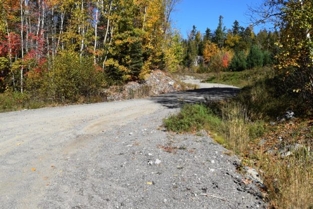
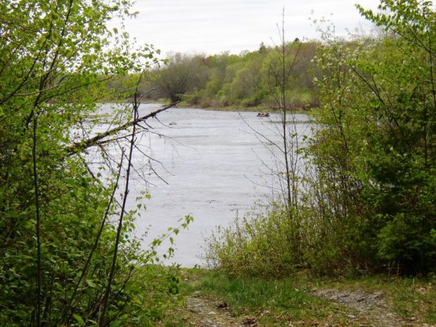
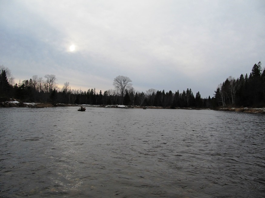
Freeman Township

On March 4, 1808 Freeman was organized as a town. In 1823 is set off land to form North Salem (now Salem Township. Ten years later it set off more land to New Portland. By 1838, during the Great Depression, it surrendered its organization and reverted to become an unorganized township in in Franklin County.…

Frenchtown Township

First Roach Pond from Kokadjo

This unorganized township northeast of Greenville is probably best known for the village of Kokadjo and First Roach Pond. The village is at the north end of the pond, which is wholly contained within the township. Kokadjo is short for Kok (kettle) Wadjo (mountain) pegwasebem (lake); together “Kettle Mountain Lake.”*          …

Greenfield

Greenfield Baptist Church (2020)

was a town in Penobscot County, incorporated on January 29, 1834 from Greenfield Plantation. Even though it was growing in population, Greenfield relinquished its status as a town in 1993 and is now an unorganized township.

Grindstone Township

East Branch of the Penobscot River in Grindstone Township (2005)

Grindstone is north of East Millinocket on Route 11 in Penobscot County. Route 11, which follows the East Branch of the Penobscot River north to south, is the principal improved road. A short portion of the Madden Road in the south along a section of Dolby Pond is the only other improved surface. A tiny…

Gulf Hagas

Long view of Gulf Hagas with Forested Cliffs

Gulf Hagas and The Hermitage are both located in the Bowdoin College Grant East, T7 R10 NWP, an unorganized township east of Greenville and northwest of Brownville. The area is part of the Appalachian Trail corridor owned by the National Park Service. Approaches from each town are over a private logging road on which control…

Herseytown Township

Mount Katahdin from Herseytown (2012)

Herseytown Township should not be confused with the town of Hersey about 25 miles north on Route 11 in Penobscot County. Davidson, the only village in the township, was in the north at Davidson Pond on the Davidson Road off Route 11. A 1942 USGS Topographic map shows Davidson with several buildings (small squares). Other…

Hobbstown Township

Spencer or Hardscrabble Mountain from Spencer Road in Hobbstown Township (2016)

This township (T4 R6 BKP  WKR) in Somerset County contains most of Spencer Lake, along with the 2400-foot Spencer Mountain west of the Lake, and the 2300-foot Hardscrabble Mountain east of the Lake. With no village settlement, it is primarily an area of woods and woods roads. In the early 20th century, Spencer Lake Camps…

Holeb Township

Holeb was and is a place for harvesting forest products. Amos A. Logging crews and camps were here and in the 19th century. See photos. Most of the shores on Attean and Holeb Ponds, and a significant length of the Moose River including Holeb Falls, lie within the Maine Public Reserved Lands. Canoe trips are frequent.

Jim Pond Township

This Franklin County township contains a section of the Dead River’s North Branch, along with several ponds, the largest of which is Jim Pond. The smaller Greenbush Pond is more accessible, but with a limited fishery. Route 27 follows the River on its journey to Eustis where it merges with the South Branch to create…

Johnson Mountain Township

Hill near the Cold Stream Mountain Road in Johnson Mountain Township (2014)

For travelers driving north from The Forks to Jackman, and maybe Quebec, Johnson Mount Township is probably just another strip of U.S.Route 201 through the woods. However, for the adventurous seeking a mountain to climb, waterfall or a primitive campsite by a stream, the rewards are nearby.  Johnson Mountain is accessible off the (unimproved) Enchanted…

Katahdin Iron Works Township

The Iron Works township contains the remaining structures of a once thriving industrial site. That site is now recognized as a historic treasure by its listing on the National Register of Historic Places. Katahdin Iron Works once included a small village and roads in this remote location. During the height of the Iron Works operation,…

Kibby Township

Access from Route 27 (2017)

In western most Maine and Franklin County, the Township (also known as T1 R6 WBKP) has no village and virtually no population. Its major economic resource is Kibby Ridge on Kibby Mountain. Logging the forested township is also an economic asset. Maine Route 27 in Chain of Ponds Township provides access to the network of…

Kingman

is an unorganized township in Penobscot County. In the early 1870’s the firm of Shaw and Kingman built a sole-leather tannery. See photos. Mr. Kingman commissioned a “finely Italianate residence” in 1871-1872. With the passing of the tannery, no other business, and the Depression, voters dissolved the town government in 1935. Part of the Mattawamkeag River Wildlife Management Area is here. Kingman village is at the intersection of the Mattawamkeag River, Route 170 and the Canadian Railway.

Lambert Lake Township

Sunset over Lambert Lake (2013)

is located south of Vanceboro in eastern Washington County.  The St. Croix River is its boundary with Canada. Two improved roads, Route 6 and Loon Bay Road, and a rail line, intersect near Lambert Lake and its small village.               Loon Bay and Bull Brook roads extend north-south serving…

Lang Township

North of Dallas Plantation, Lang Township (originally T2 R3 WBKB) is a rural area that has one major improved road, Maine Route 16, and the short Kennebago Road. While sources are sketchy, its population in 1870 was 36, in 1880, 31. A 1936 topo map appears to show about 15 buildings.  U.S. Census does not…

Lexington

Michael Stream on the West Side of Long Falls Dam Road in Lexington (2013)

This township in Somerset County is on the Long Falls Dam Road leading to Flagstaff Lake in Dead River Township. There is virtually no village area. The small community and Highland Plantation to the north have joined forces to create a common fire department. Happy Horseshoe Campground, on the Dam Road, caters to camper-trailers, providing…

Lily Bay Township

Lily Bay from Lily Bay Road in Lily Bay Township (2019)

The township lies just north of Lily Bay State Park and Campground in Beaver Cove on the shore of Moosehead Lake’s Lily Bay. Lily Bay Road, the only improved road, runs inland and northwest to Kokadjo Village and First Roach Pond, both of which are in Frenchtown Township. The northern part of the township is a…

Lobster Township

                                        Lobster Lake in Lobster Township is east of the northernmost portion of Moosehead Lake and of adjoining Northeast Carry Township.             Lobster lake, so-named because of its shape, dominates as…