On March 4, 1808 Freeman was organized as a town. In 1823 is set off land to form North Salem (now Salem Township. Ten years later it set off more land to New Portland. By 1838, during the Great Depression, it surrendered its organization and reverted to become an unorganized township in
in Franklin County.
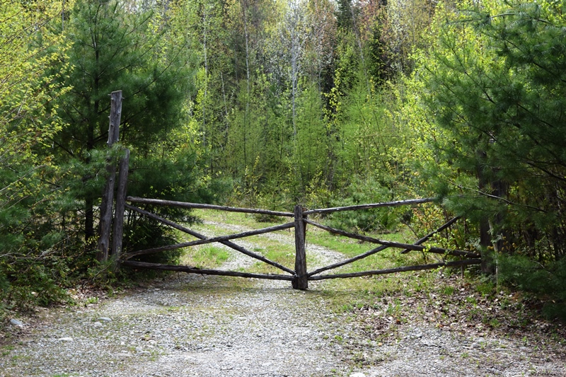
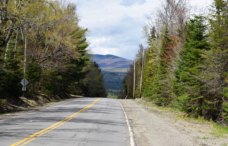
This heavily wooded township is bounded on the north by Kingfield and Salem, east by New Portland, south by Strong and New Vineyard, and west by Phillips and Salem. The only improved roads are Route 142 for about 6 miles and Route 145 for about 2 miles.
The township was Number 3, in the 2nd Range of townships. (T3 R2 in modern classification.) The first settled took the name of Little River Plantation. When it was incorporated in 1803, it took its name from Samuel Freeman, of Portland, who was one of the principal owners at the time of settlement.
Freeman is near the middle of the eastern side of Franklin County, 15 miles northwest of Farmington. It is bounded on the north by Kingfield and Salem, east by New Portland, south by Strong and New Vineyard, and west by Phillips and Salem.
According to George Varney in 1880, “the soil is fertile, though hard to cultivate. Freeman Ridge, occupying a large portion of the northern part of the town, is said to be the best for tillage. The middle and southern part of the town is drained by a branch of Sandy River, and across the northern part flows Curvo Stream, the southern branch of Seven Mile Brook.”
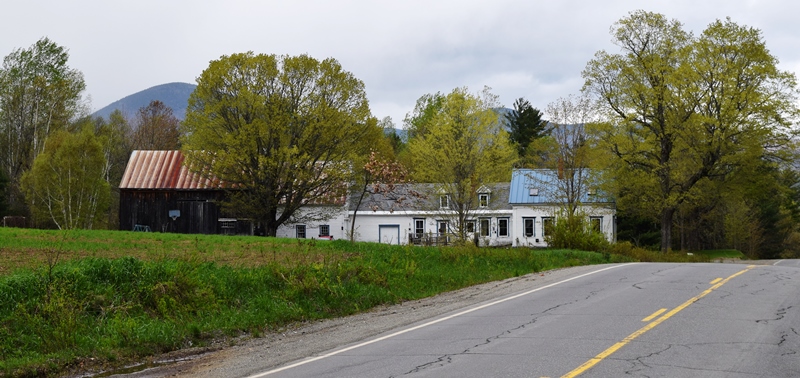
In 1880 Freeman and West Freeman villages had their own post offices. In this heavily forested area, there were saw-mills at Freeman Village, West Freeman and North Freeman. None of these villages existed by 2019.
Freeman is one of two townships granted by the State of Massachusetts to the residents of Falmouth (now Portland) in the burning of the town by the British during the Revolutionary War. It was surveyed and settled by Reuben Hill about 1797. William Brackly, David looper, Alexander Fasset, Samuel Weymouth, and a Mr. Burbank, Mr. Morton and Mr. Boston were among the first settlers.
Methodists had a church at Freeman Village in 1880, as did the Free Baptists at West Freeman. There were ten public schoolhouses in the town. The population in 1870 it was 608. In 1880 it was 549. The population in 1900, 397; 1910, 334; 1920 (the last official census for the township), 222.
Additional resources
Varney, George J. A Gazetteer of the State of Maine. Published by B.B. Russell. 57 Cornhill,Boston, MA. 1886.
Maine. Historic Preservation Commission.
https://www.maine.gov/tools/whatsnew/index.php?topic=mhpc_recent_listings&id=300329&v=article2019 (accessed May 28, 2019) [2011 photo of the Barn is from the Maine Historic Preservation Commission, site above.
National Register of Historic Places – Listings
Barn on Lot 8, Range G.
The ‘Barn on Lot 8, Range G’ in Freeman Township is an English style barn modified to provide for additional livestock, equipment and feed storage. Built about 1825, the older part of this two-section barn exhibits a hewn timber frame, complex joinery fastened with pegs, and a traditional three-bay plan with center aisle. Before the end of the 19th century a two-bent addition was built on the west, gable-end wall.
Constructed of scribe-ruled sawn timber, but using similar joinery, the new section of the barn increased the footprint of the building from about 1500 to 2400 square feet. The placement of this addition created an unusual T- shaped set of aisles, and would enable future additions to be made in a manner similar to those found in New England style barns.
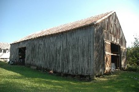
This method of expanding an English Barn has not been commonly recognized in Maine, and differs from the three usual methods used in northern New England as identified in publications by architectural historians in the region. This building gets its significance from the manner in which it illustrates a new variation on a method and period of construction associated with evolving agricultural practices in the 19th century.