Whitefield

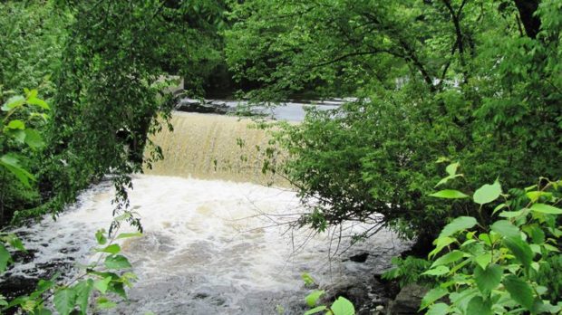
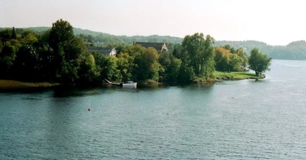
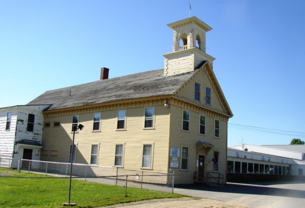
Whitefield is west of Gardiner on Route 126 and north of Wiscasset on Route 218. See photos. The Sheepscot River flows through the town and is a popular canoe trip opportunity. As do many Maine towns with scattered villages, Whitefield has several volunteer fire departments: Coopers Mills, Kings Mills, and North Whitefield. St. Denis Catholic Church, west of North Whitefield on Maine Route 218, is on the National Register of Historic Places.

West Gardiner

Its community center is on the Spears Corner Road where the town office, fire department, town garage, elementary school, and convenience store all lie in close proximity. See photos. West Gardiner is the site of one of the Maine Turnpike Authority’s service plazas, home to the Center for Maine Craft, which features a retail gallery and cultural tourism information.

Washington

The 550-acre, four mile long Washington Pond is a major attraction for summer recreation. Also known as Medomak Lake, it is home to the Madomak Family Camp, started in 1904 as a boys camp. See amateur film. Razorville is a village on the southwest end of Washington Pond. The main village is near the eastern shore of the lake.

Wales

Rolling Hills in Rural Wales (2002)

The early settlers arrived in about 1773, some of whom came from Wales in Britain. See photos.The gentle hills in the town reflect the landscape of the old country. With access to Sabattus Pond, the town is within easy reach of Lewiston-Auburn via Maine Route 132, and of Gardiner by way of Routes 9 and 126.

Sabattus

Farm across from Waterman

just east of Lewiston, the south end of Sabattus Pond is part of the urban center. The name is that of a Native American chief of the Anasagunticook tribe. Located just east of Lewiston, most of the town’s population appears on a map as an extension of that City, so closely are they located. That portion of the town at the south end of Sabattus Pond is part of the urban center.

Randolph

A suburb of Augusta, Randolph, tiny in terms of land area, lies on the east bank of the Kennebec River near Gardiner. A pedestrian trail extends from the Kennebec River through Randolph and Chelsea. The trail once linked the river and the National Home for Disabled Volunteer Soldiers, now Togus Veterans Home. That was during the 1800’s by the narrow-gauge (two-foot wide tracks) Kennebec Central Railroad.

Litchfield

The town contains the Tacoma Lakes, Cobbosseecontee Stream, a portion of Cobbosseecontee lake, Pleasant Pond, and several other ponds. See photos. Between Lewiston and Augusta, it offers summer cottage locations for many area residents. Litchfield Corners, in the southern tip of the community, hosts an old tavern, new town office and a country store.

Jefferson

Abandoned granite quarries and clay banks where bricks were made suggest the early economic activities of the area. See photos. Several fine farm houses and barns have survived to recall the great heritage of the town. See images below from the Library of Congress of the old cattle pound.

Pittston

Historical Marker: Headquarters of Benedict Arnold Expedition September 21-23, 1775 (2013)

The Reuben Colburn House in Pittston, Maine is the site of one of the original settlements in Maine. Built in 1765, it was one of the first on the east side of the Kennebec River in an area later known locally as Colburntown. See photos. The house and carriage house is now owned by the Arnold Expedition Society. The village of East Pittston is located on the Eastern River near the town line with Whitefield. Route 194 serves the village and the Pittston Fair Grounds nearby.