Sabattus

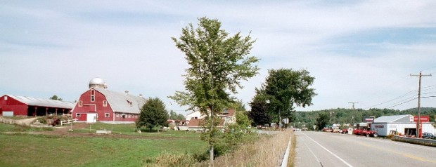
Farm across from Waterman

just east of Lewiston, the south end of Sabattus Pond is part of the urban center. The name is that of a Native American chief of the Anasagunticook tribe. Located just east of Lewiston, most of the town’s population appears on a map as an extension of that City, so closely are they located. That portion of the town at the south end of Sabattus Pond is part of the urban center.

Rumford

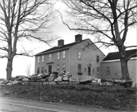
Deacon Hutchins House (1979)

Year Population 1970 9,363 1980 8,240 1990 7,078 2000 6,472 2010 5,841 Geographic Data N. Latitude 44:31:19 W. Longitude 70:35:50 Maine House District 115 Maine Senate District 18 Congress District 2 Area sq. mi. (total) 69.9 Area sq. mi. (land) 68.6 Population/sq.mi. (land) 85.2 County: Oxford   Total=land+water; Land=land only [RUM-frd] a town in Oxford…