Orland

Small pond with a fishway and an outlet to Toddy Pond, surrounded by U.S. Route 1, Toddy Dam Road, and Hatchery Road in East Orland (2010)

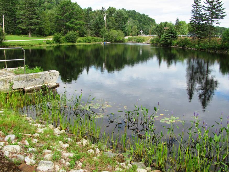
In addition to Alamoosook Lake, the town hosts Craig, Heart and Toddy ponds, and the State’s Craig Brook Fish Hatchery. See video and photos. Located just east of Bucksport, Orland is a growing community, whose old village center is located on the Orland River, where the old village school and the general store are located. H.O.M.E., a crafters’ cooperative was established by Sister Lucy Poulin in 1970.

Waltham

Maine Route 179 parallels the east side of Graham Lake. The frontage on this nine-mile lake, which also touches Ellsworth, Mariaville, and Fletchers Landing, has encouraged some developers to consider creating subdivisions near its shores. Route 200, also known as Cave Hill Road, connects the community to Eastbrook.

Wallagrass

Fish River at Soldier Pond Village in Wallagrass (2018)

Settled by Acadians, the town lies just south of Fort Kent on the Fish River, whose Eagle Lake outlet is in the southern portion of the township. See photos. Wallagrass Station village is located at the southern end of the town, where Station Road leads to the shore of Eagle Lake.

Wales

Rolling Hills in Rural Wales (2002)

The early settlers arrived in about 1773, some of whom came from Wales in Britain. See photos.The gentle hills in the town reflect the landscape of the old country. With access to Sabattus Pond, the town is within easy reach of Lewiston-Auburn via Maine Route 132, and of Gardiner by way of Routes 9 and 126.