Oakland

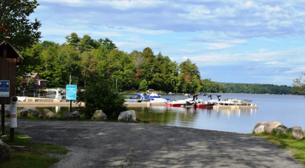
Waterville’s commercial strip that is Kennedy Memorial Drive continues into Oakland for about a mile before becoming a more scenic road. See photos. Here the village emerges as it sits at Messalonskee Stream. Long the home of the New England Music Camp, recreational opportunities include access to several of the Belgrade lakes.

Oakfield

Caboose near Oakfield Station on the Station Road in Oakfield (2012)

Originally settled in 1831 and organized for the assessment of taxes in 1866, the town itself was incorporated on February 24, 1897. See photos. The main village, is located on the Mattawamkeag River, just south of Smyrna Mills. Its mountainous terrain, known as the Oakfield Hills, earned it the name “Switzerland of the Aroostook” by one observer. Sam Drew Mountain is the highest point at 1,516 feet.

Ospreys

Osprey Overlooking Harpswell Sound (2012)

The Osprey, or “fish hawk,” is a powerful large bird with a wingspan sometimes reaching six feet. Its threatening physical size and sharp talons contrast with its almost ridiculously timid “cheep, cheep” chirping voice. It can be found across the state from the northern lakes and rivers to coastal islands. As are other hawks, the…

Oxford County Nature Preserves

Mooselookmeguntic Lake from Height of Land in Township D (2007)

Lake Umbagog National Wildlife Refuge, established in 1992 spans the Maine-New Hampshire border. 5,000 of the total of 17,500 acres lie in Maine in Upton. A Magalloway River trail leads off Maine Route 16. In addition, about 20 miles of logging trails are open to hikers. Richardson Public Reserved Land, Adamstown and Richardsontown Townships. Located…

Oxford County

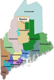
Map of Maine Counties and Baxter Park

Oxford County is the seventh largest in population of the sixteen counties, located in western Maine along the New Hampshire border to the east and the Province of Quebec border to the north. The northern parts of York and Cumberland counties were separated to form Oxford County on March 5, 1805.  As with many counties,…