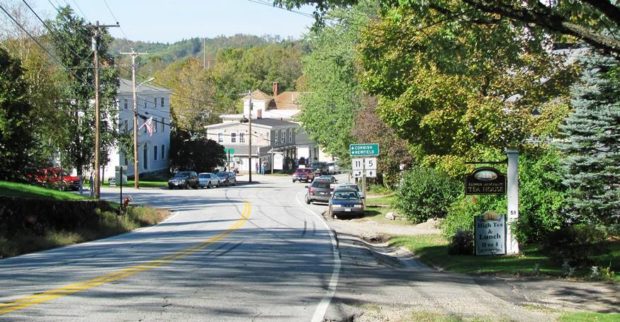
Lincoln Plantation

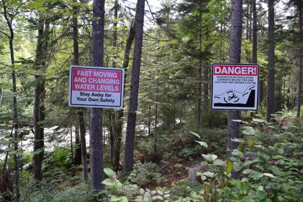
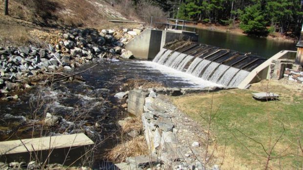
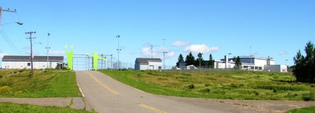
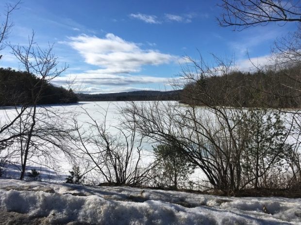
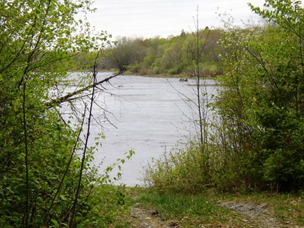
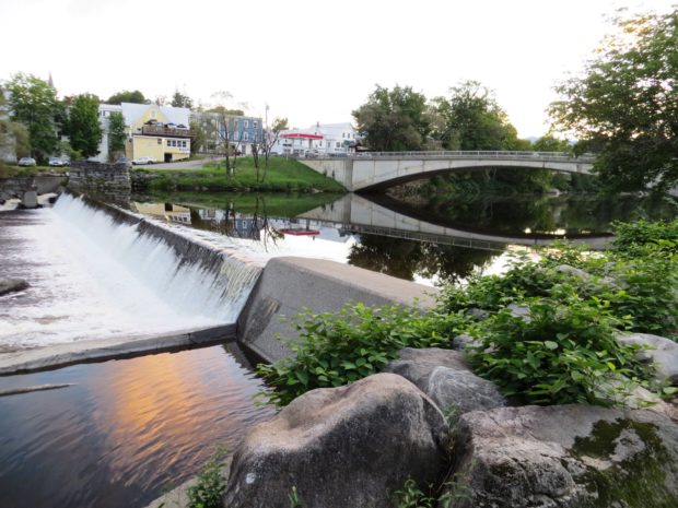
In the 19th century, it was a magnet for summer visitors to Parmachene Lake, a hunting and fishing resort. See photos. The southern end of Aziscohos Lake offers campsites and fishing in the area known as Wilsons Mills. The Aziscohos Dam spills water into the Magalloway River. A 93-foot Covered Bridge, built in 1901 has been closed to traffic since 1985.

Limington

The Campus of Limington Historical Society (2014)

Limington Academy, now on the National Register of Historic Places, was incorporated in 1848. See video and photos. After 200 years, the old Town Hall was replaced by a modern Municipal Complex. Primary education now takes place in the Emery Memorial School, a major change from the old Longfellow School. Nevertheless, the main village retains its historic character thanks to the local efforts to establish its Historic District.

Limestone

The town is a port of entry into the United States from Limestone, New Brunswick, Canada. In the north of the town, the Aroostook National Wildlife Refuge straddles the town line with Caswell. The disastrous impact on the community of the demise of Loring Air Force Base in the 1990’s may be told by Limestone’s sharp population decline. The School of Mathematics and Science, a high school for top students from across the state, is now located on the former military facility.

Limerick

It was settled by whites in 1775 on the old Pequaket Trail, a way station used by the Sokoki Indians traveling between the Saco River and Pequaket (Fryeburg). Sokokis Lake (also known as Holland Pond) and the long Lake Arrowhead grace the northeast corner of the town near Limerick village.

Liberty

Lake St. George and its associated State Park, are in the north-central portion of the Town on Route 3. Liberty Village is on the east shore of the Lake and Route 173 is the main street. This scenic rural community is about a twenty-one mile and about a half-hour drive to Camden; and less than twenty miles and less than a half-hour drive to Belfast. In the 1880’s Liberty was know for its many apple orchards and fertile farmland.

Lewiston

Thorncrag Bird Sanctuary in Lewiston (2002)

Lewiston Falls, on the Androscoggin River between downtown Lewiston and neighboring Auburn, its “twin” city, was a fishing source for Native Americans. Recently, a park has been developed at the site of the falls, known as Great Falls, and one of the old mills, now a housing complex, that once thrived on its power. The great demand for manufacturing labor in the 19th century drew large numbers of French speaking people from Canada and northern Maine. From 1970 to 2000 the city’s population was again in decline. In 2010 it grew by about 1,000. This time another ethnic group, Somali refugees, were instrumental in the recent growth.

Leeds

Stinchfield Beach on Androscoggin Lake (2006)

While not as important to the local economy as it was in the 19th Century, farming still thrives in some areas of the community. Amid the farms of rural Leeds, the DeCoster mill, on a railroad line in North Leeds, dominates the landscape. The east shore of Androscoggin Lake brings several miles of shore frontage to the community in the northeast corner, including Stinchfield Beach. The Androscoggin River forms the western boundary separating Leeds from Turner.

Lee

Historic 1889 Mallett Hall in Lee Village, built as a hotel by James Mallett (2014)

in Penobscot County, incorporated in 1832, is home to Lee Academy. Victorian style Mallett Hall, also known as the Mount Jefferson House, has been a fixture in the town since 1889. village center lies at the intersection of Route 6 and the short Route 168 from Winn.

Lebanon

This western-most town borders New Hampshire on the Salmon Falls River. A rapidly growing rural commuter community, Lebanon tripled its population between 1970 and 2010, adding 20% between 2000 and 2010. Settled in 1743, it was incorporated 1767. A meeting house was erected in 1753, two garrison houses in 1755, and a parsonage in 1759.

Lamoine

Lamoine Consolidated School (2013)

a town in Hancock County, incorporated in 1870. Mount Desert Narrows separates Mount Desert Island from Trenton and Lamoine. Eastern Bay is east of the narrows between Lamoine and the island. Lamoine State Park and Lamoine Beach are both on the shore of Eastern Bay. They are at the end of Maine Route 184, which departs from U.S. Route 1 in Ellsworth.

Kittery

Portsmouth Naval Shipyard (2013)

in York County serves as the gateway to Maine from points south with its old and more modern bridges spanning the Piscataqua River. See video & photos. The federal government established the Navy Yard in 1806. The 74-gun ship Washington was the first vessel built there in 1815. The town’s long history is partially illustrated by the substantial list of historic sites.

Kingman

is an unorganized township in Penobscot County. In the early 1870’s the firm of Shaw and Kingman built a sole-leather tannery. See photos. Mr. Kingman commissioned a “finely Italianate residence” in 1871-1872. With the passing of the tannery, no other business, and the Depression, voters dissolved the town government in 1935. Part of the Mattawamkeag River Wildlife Management Area is here. Kingman village is at the intersection of the Mattawamkeag River, Route 170 and the Canadian Railway.

Kingfield

Now a “four season” recreation center, located half way between the North Pole and the Equator, it is the gateway to Sugarloaf Mountain Ski Area in Carrabassett Valley. See video & photo. Named for Maine’s first governor, the town hosts the Stanly Museum (of Stanley Steamer fame).

Kineo, Mount

The map at left is the 1922 USGS 15 Minute Series, Moosehead Lake, ME Quadrangle, Northwest Corner, from the University of New Hampshire Dimond Library. The Kineo Cottage Row Historic District is a collection of seven wood-framed cottages built in conjunction with the Kineo Resort complex between 1901 and 1912. They were designed in the…

Kents Hill School

Entrance and Bearce Hall (2002)

Kents Hill School, in Readfield, was established initially as the Maine Wesleyan Seminary in 1824 by Luther Sampson, a native of Duxbury, Massachusetts. He was a Revolutionary War veteran who settled in Readfield in the early 1800s. In 1824 he organized, endowed and incorporated the institution. According to the 1886 Gazetteer of Maine, “In 1852…

Kennebunkport

Dock Square list of Shops in Kennebunkport (2012)

in York County, incorporated 1653 as Cape Porpoise. See photos. After early white settlers were driven away by Indian raids, it was reorganized as Arundel in 1718. In 1821 its name was changed to Kennebunk Port. It has long been an attraction for tourists and summer residents. Well-known residents included writers Booth Tarkington and Kenneth L. Roberts.

Kennebunk

The name means “the long cut bank” for a land formation near the sea. Shipbuilding and shipping were once staples of the economy, now oriented to tourism and light manufacturing. See photos. The conversion of historic buildings for contemporary use and the historic districts have enhanced Kennebunk’s attraction for visitors and new residents.

Katahdin Iron Works

Katahdin Iron Works Chimney

National Register of Historic Places – Listings Katahdin Iron Works [Northwest of Brownville Junction at Silver Lake] Katahdin Iron Works Township, T6 R9 NWP, is an unorganized township northwest of Brownville and just east of Gulf Hagas and The Hermitage. Red iron oxide from Ore Mountain is believed to have been the source of paint…

Jonesboro

village is in Washington County on U.S. Route 1 where it splits to create Route 1A, then both reunite at Machias to the northeast. See photos. Chandler River, which empties into Englishman Bay, runs through the village. The banks of the river show evidence of ruins, possibly a dam. Hannah Westin, and her sister supported the effort to capture the British vessel Margaretta in 1775.

Jefferson

Abandoned granite quarries and clay banks where bricks were made suggest the early economic activities of the area. See photos. Several fine farm houses and barns have survived to recall the great heritage of the town. See images below from the Library of Congress of the old cattle pound.