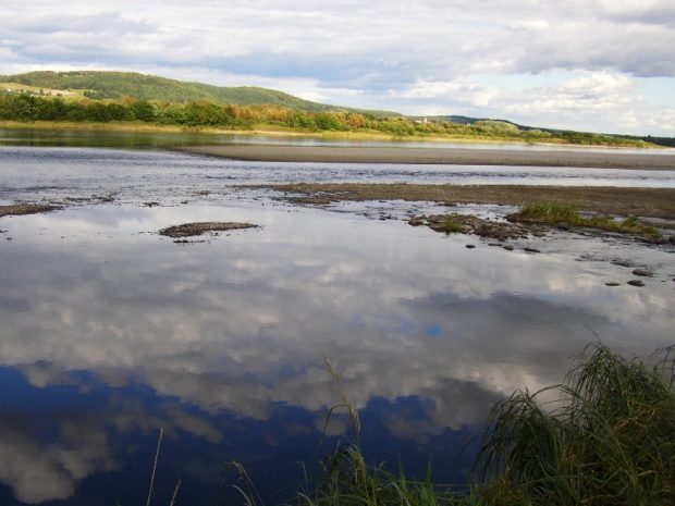
Moose River
![Historic Samuel Holden House [remaining portion] (2019)](https://maineanencyclopedia.com/wp-content/uploads/190825050-Copy.jpg)
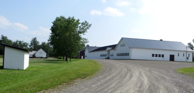
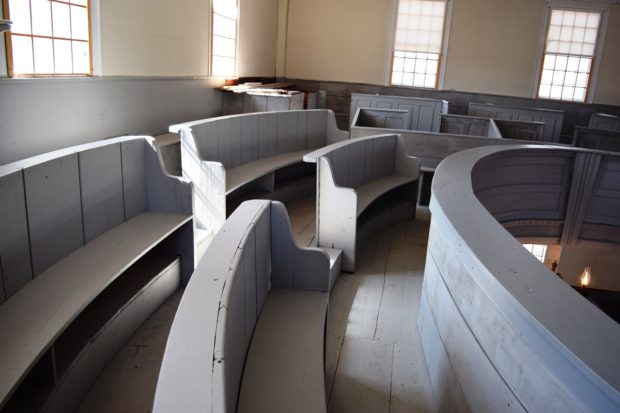
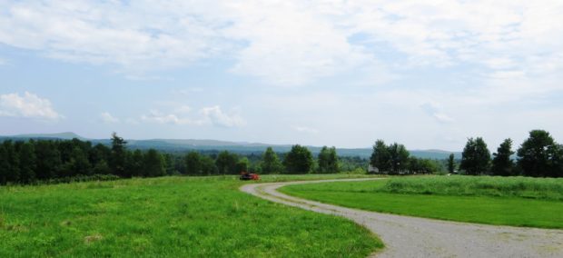
Jackman’s Main Street (U.S. Route 201/Maine Route 6) merges with that of Moose River. See photos. The two towns, otherwise isolated, share a single community. The historic Moose River Congregational Church is in Jackman. The Town Office and most commercial activity lies along U.S. Route 201/Maine Route 6. The Scott Road (or the Moose River Road) proceeds east into the heart of the township.
")
")
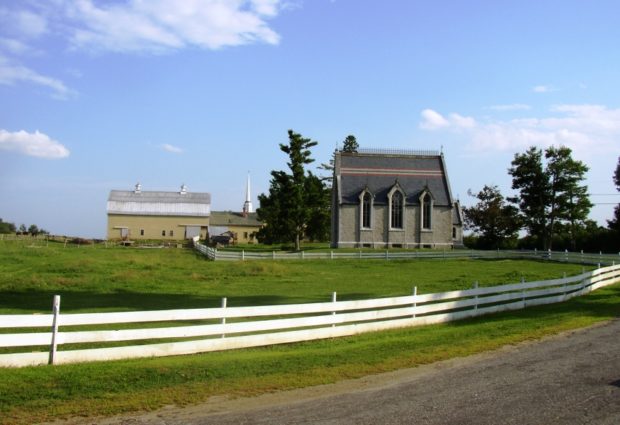
![House and Barn in Milo on Route 11 [Park Street] (2014)](https://maineanencyclopedia.com/wp-content/uploads/140426087-Copy-2-1.jpg)
")
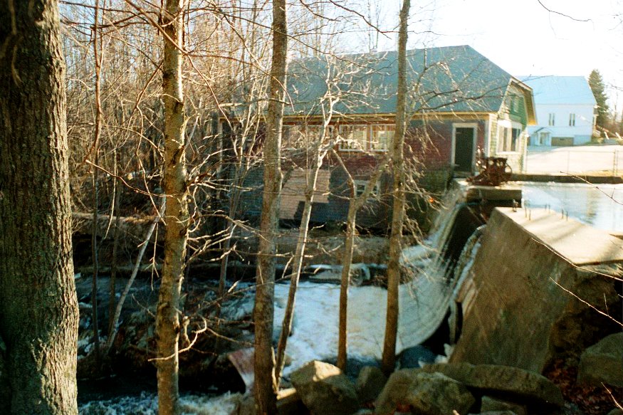
![Upper Gordon Falls on the Mattawamkeag River (2016) [See video]](https://maineanencyclopedia.com/wp-content/uploads/160425-RW014-Copy.jpg)