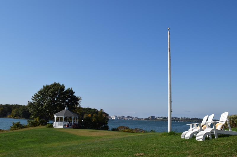
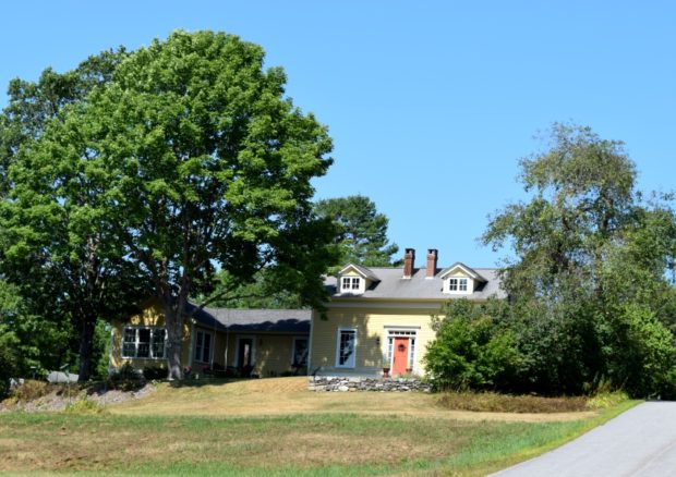
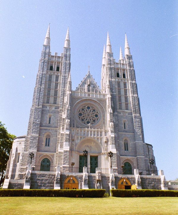
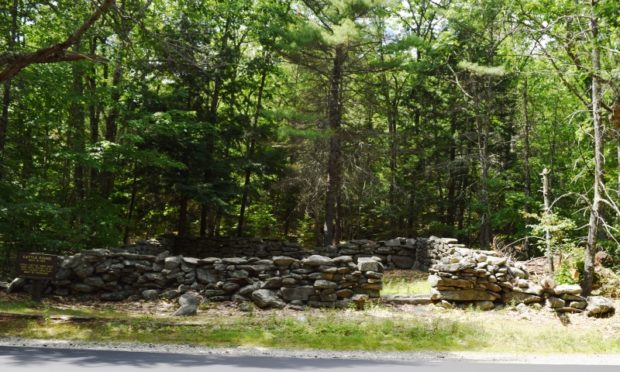
Bowdoinham

settled originally as early as 1623, but Indian raids precluded a permanent presence. Reportedly named for Dr. Peter Bowdoin, an early proprietor, it occupies the western shore of Merrymeeting Bay. The Cathance River runs through it and into the Bay. A fast growing community, Bowdoinham has attracted commuters and retirees to its still rural open spaces. See photos.

Brewer

Brewer Along the Penobscot (2003)

Year Population 1970 9,300 1980 9,017 1990 9,021 2000 8,987 2010 9,482 Geographic Data N. Latitude 44:46:44 W. Longitude 69:25:29 Maine House Dists 128,129 Maine Senate District 8 Congress District 2 Area sq. mi. (total) 15.6 Area sq. mi. (land) 15.1 Population/sq.mi. (land) 628.0 County: Penobscot Total=land+water; Land=land only  Brewer is a city in Penobscot…

Columbia Falls

Location Map For Columbia Falls

Year Population 1970 367 1980 517 1990 552 2000 599 2010 560 Geographic Data N. Latitude 44:40:23 W. Longitude 67:42:49 Maine House District 138 Maine Senate District 6 Congress District 2 Area sq. mi. (total) 24.7 Area sq. mi. (land) 24.5 Population/sq.mi. (land) 22.9 County: Washington Total=land+water; Land=land only [kol-UM-bee-ah FALLS] is a town in…

Great Diamond Island

Portland from the south end of Great Diamond Island near the ferry dock (2018)

Great Diamond, home to Fort McKinley, is just northeast of its neighbor Little Diamond Island, linked only by a sandbar at low tide. The island has a limited network of roads, used primarily by golf carts and bicycles. Access is by about a half hour ferry ride from Portland Harbor, with two landing sites. Landing site…

Coburn Gore

Approaching U.S. Inspection Station (2017)

This is a small unorganized township in Franklin County on the border with Canada. It has a very small village with few houses and one store. Logging trucks abound, both in the village and those traveling through from Canada, many with lumber. Without mountains, it does have three water bodies: Arnold Pond, Crosby Pond, and…

Freeport Historic Register

House on Upper Mast Landing in the Harraseeket Historic District (2017)

National Register of Historic Places – Freeport    Mallett, E. B., Office Building [Mill Street] E.B. Mallett Office Building (2016) Perhaps more than anyone, Edmund Buxton Mallett, Jr. (1853-1923) shaped the town’s character. In 1883 he moved from Pownal to launch his empire. Between 1884 and 1892, he built and operated two shoe factories, a…

Lewiston Historic Register

Basilica of Saints Peter and Paul in Lewiston (2001)

National Register of Historic Places – Listings – Lewiston Photos by James Henderson, and edited text are from nominations to the National Register of Historic Places researched by Maine. Historic Preservation Commission. Full text and National Register photos are at https://npgallery.nps.gov/nrhp Androscoggin Mill Block [269-271 Park Street] Due primarily to demands for an increasing labor…

Cattle Pounds

As Maine communities began to lose some of their frontier aspects in the early 19th century and assumed a more settled appearance, rudimentary civic improvements were initiated. Among these improvements in the largely agricultural world of rural Maine was the regulation of the livestock which were becoming numerous. To control this problem towns constructed shelters,…

Brown, Harrison Bird

Harrison B. Brown House (2015)

Harrison Bird Brown was a widely recognized 19th century marine and landscape painter. Born in Portland in 1831 and orphaned at an early age, he was apprenticed to a house and ship painting firm. His best work dates from the 1860’s and early 70’s when his style was delicate and detailed and his colors rich…

Cemeteries

As in many states with early European settlements, Maine has a wide variety of cemeteries. They differ in size, design, ownership, religious association, documentation, and physical condition. The Encyclopedia does not intend to document all cemeteries, but to note the variety and context of these sites in Maine. (Enter cemeteries in the Search box upper…

Capitol Park

Capitol Park (2004)

Capitol Park is significant as a landscape design, dating from 1827, that survives with its spatial structure intact. It is unique as an early example of a designed landscape and as a remarkable survivor within the Capitol complex. Although the park has accommodated a variety of functions, it continues to perform its primary function of…

Historic Preservation Commission, Maine

Maine Historic Preservation Commission (2001)

The Commission is responsible for the identification, evaluation, and protection of Maine’s significant cultural resources as directed by the National Historic Preservation Act of 1966. It is located at 55 Capitol Street in Augusta. It consists of eleven members as follows: The Commissioner of Transportation or  representative, the Commissioner of Conservation or representative and 9…

Harpswell, North

Otter Brook Preserve Trails in North Harpswell (2018)

In Harpswell, this is the northern most village on Harpswell Neck, the others being West and South Harpswell. It centers on the intersection of Route 123 from Brunswick and the Mountain Road, which links North Harpswell to the islands via the Ewing Narrows Bridge. Near the intersection: the Merriconeag Grange, the Vegetable Corner grocery, a…

Harpswell, West and South

Dick

Among Harpswell’s villages at the southern portion of Harpswell Neck is West Harpswell, about two miles south of Harpswell Center. South Harpswell begins about a mile farther, where Route 123 branches to Ash Point Road, Basin Point Road, as well as continuing to Potts Point. West Harpswell is home to Mitchell Field,  a 119-acre Town-owned…

Clarke, Rebecca

Rebecca Clarke/Sophie May

Rebecca Sophia Clarke (February 22, 1833-August 10, 1906), daughter of Asa Clarke, was born in Norridgewock.  After her education at the Female Academy in Norridgewock, she moved to Evansville, Illinois, living at the home of a married sister while she taught school. In 1858, progressive deafness forced her to give up teaching and she returned…

Peaks Island

An Informal Stone Art Site along Seashore Avenue on Peaks Island

The Island is a City of Portland neighborhood in Casco Bay, accessible by ferry from the terminal on Portland’s waterfront.  The brief trip carries freight, vehicles, bicycles and tourists. Little Diamond Island and Great Diamond Island are just to the west. While the population is about 900, the number of people on this 720-acre island…

South Freeport

South Freeport is on the broad Harraseeket River leading to Casco Bay. Once a shipbuilding center, it now hosts the town’s public wharf, a marina, a boatyard, and the Harraseeket Yacht Club. Winslow Park on the Bay provides recreation and camping opportunities.

Stroudwater

Cumberland and Oxford Canal with Maine Historic Civil Engineering Landmark recognition

Stroudwater, a neighborhood in the City of Portland, lies west of the railroad tracks to the Westbrook border. Several locations of historical significance include the Tate House Museum, a portion of the Cumberland & Oxford Canal, and an old dam on the Stroudwater River. It is a highly developed residential and commercial area.

Livermore

Livermore, the main village, fronts on Brettuns Pond. A boat launch is located off Route 4. Near Livermore village several old community buildings suggest an earlier location for the village center. North Livermore village is centered on twin water bodies, Round Pond and Long Pond. North Livermore Baptist Church graces the community, just north of “The Norlands” a living history center.

Cundys Harbor

A Summer Day at Holbrook

Cundys Harbor is a village within the town of Harpswell, in the area known as East Harpswell. It is located in the southeastern portion of this sprawling coastal town, on Sebascodegan Island. In 1985 the Maine Historic Preservation Commission described it thus: “Cundy’s Harbor is a small fishing village on a narrow peninsula of hilly…