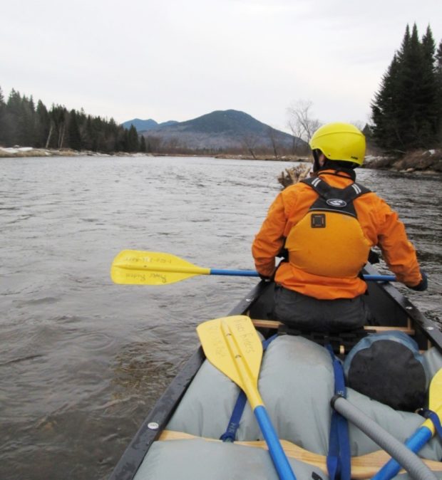
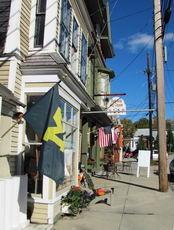
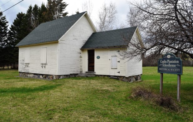
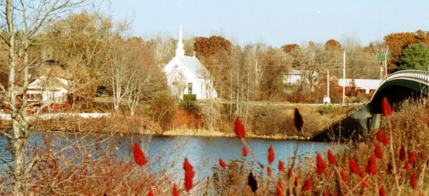
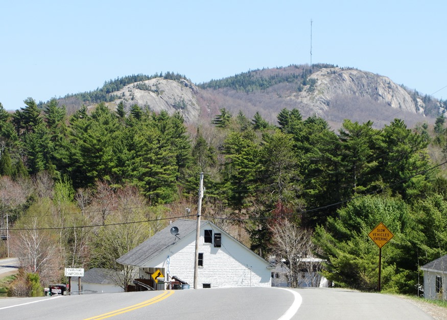
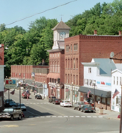
Eagle Lake

Eagle Lake in Eagle Lake (2018)

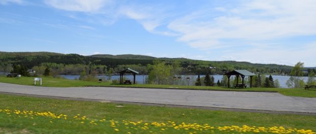
settled 1840’s by Acadian-French and Irish immigrants, it was named for the many eagles at the Lake by a Major Strickland during the Aroostook War. Eagle Lake spawns the Fish River, which empties into the St. John River at Fort Kent. See photos. It is the birthplace and residence of former Maine House Speaker John L. Martin.

Durham

Durham Community School on the Royalsborough Road (2013)

The 1835 Union Church was a community meeting house, then in 1922, the Town Office, and recently home of the Durham Historical Society. The early 20th century religious movement known as the Sandfordites, after their leader Frank W. Sandford, built their 1897 temple “Shiloh” here. Runaround Pond offers a pleasant canoe trip through water lilies and bird life. See video and photos.

Dixmont

Peaked Mountain from U.S. 202 in Dixmont (2003)

in Penobscot County, incorporated 1807, was named for Dr. Elijah Dix, who bought the town (and Dixfield). His granddaughter was the social reformer, Dorothea Lynde Dix. Maine Routes 9 and U.S. Route 202 pass through Dixmont and Dixmont Center villages, with long views of the surrounding area, and locally known “Dixmont Hill,” actually Peaked Mountain, with its communications antennas. See photos.

Dexter

Downtown Dexter (2002)

A woolen mill, erected in 1835, started an industry that lasted for over 150 years. See photos. Recent manufacturing firm closings contributed to the decline in population in the 1990-2000 decade. Settled 1800, incorporated 1816 in Penobscot County, it is the birthplace in 1888 of legislator, congressman, governor, and U.S. Senator Ralph Owen Brewster.

Dennysville

Cobscook Bay (2004)

is in eastern Washington County, settled 1786 and incorporated 1818. While using tidal power to generate electricity was to emerge in the 20th century, direct tidal power was at work in 1886, supporting lumber mills and a grist mill on the Denny’s River.

Dedham

Jenkins Beach at Green Lake (2013)

in Hancock County, settled 1810, incorporated 1837, is home to the historic Lucerne Inn and to the self-governing village corporation Lucerne-in-Maine, created in 1927. See photos and video. With two substantial lakes, Phillips and Green, the town is a growing recreational suburb of the Bangor-Brewer area.

Dayton

Mill Pond created by a Dam in Dayton (2003)

in York County, settled in 1753 and incorporated in 1854, is a rapidly growing community. Remains of an old mill site and dam recall the 19th century economy. See photos. A combined farm and cross country ski center is on the Buzzell Road.

Danforth

The Geneva House and other grand houses in Danforth Village (2013)

in the Baskahegan valley, is the northernmost town in Washington County, The village is at U.S. Route 1 and Maine Route 169 at the end of Crooked Brook Flowage. The majestic, historic 1888 Union Hall clock tower dominates the village. See photos.

Cutler

in Washington County, incorporated 1826, is east of East Machias and boasts a large, protected harbor known as Little Machias Bay. A U.S. Navy communication base is on the Bay. Cutler Coast Public Preserved Land, in Cutler and Whiting, has almost five miles of dramatic cliff-bound ocean shore.

Cushing

Olson House and Barns on Hathorn Point in Cushing (2005)

in Knox County, incorporated in 1789, is just south of Thomaston and lies on the western shore of the St. George River. It is famous as the home of Anna “Christina” Olson, Andrew Wyeth’s subject in his now classic “Christina’s World.” The weather beaten house overlooks the Georges River and the family cemetery.

Cumberland

Former Town Hall, now an office building, in Cumberland Center (2005)

in Cumberland County, incorporated 1822, includes two islands in Casco Bay: Sturdivant and Basket. Basket Island, is a nature preserve of .9 acres of mixed forest and shell and gravel beaches. The town, a suburb of Portland, grew by almost 23 percent between 1990 and 2000, and continues its population growth. See photos.

Cornish

in York County, incorporated 1794, probably named for settlers from Cornwall, England. The main street features tourist attractions such as lodging, eating, and antiques. Cornish village is located where the Ossipee River feeds into the Saco River. Little River enters the Ossipee just before its link to the Saco. See photos.

Corinth

Inside the wood pellet mill in Corinth (2010)

in Penobscot County, incorporated in 1811. In 1886 it had three saw-mills, three shingle, one stave, two planing and two grist mills, one cheese-factory, one carriage and sleigh factory. Recently, Corinth Wood Pellets mill has taken advantage of this new form of heating fuel. Its population has had steady growth 1970-2010.

Coplin Plantation

This image has an empty alt attribute; its file name is 190520033-Copy-620x393.jpg

a plantation in Franklin County, organized in 1893, is just south of Flagstaff Lake on Maine Route 16. See photo. The South Branch of the Dead River flows through on its way to the lake. Two sections of Maine’s Public Reserved Lands, in the Flagstaff Region, lie within the plantation.

Columbia

Location Map For Columbia

in Washington County, incorporated 1796, is home to the “Great Heath” and the Pleasant River as it winds itself toward Columbia Falls. Natural resources drove the economy: logging, saw mills, fishing, boat building, bean farming and blueberries. See map and photos. U.S. Route 1 cuts the southeast corner of this small but growing community, bucking the trend of population loss in much of Washington County.

Clinton

is a town in Kennebec County, incorporated under the name Maine in 1848. The following year, the confusing address “Maine, Maine” was changed. Across the Kennebec River from Hinckley lies the Pishon Ferry area, now served by a modern bridge. A small white church overlooks the river. See photos.

Clifton

Parks Pond Bluff or Cliff (2013

in Penobscot County, incorporated 1848, settled in 1815, and recently growing in population, Clifton provides recreational opportunities, at the southeast end of Chemo Pond and Peaked Mountain, for the greater Bangor area. Fitts Pond in the southwest corner provides water access for Boy Scout Camp Roosevelt. See photos.