Montville

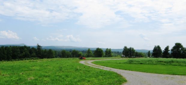
The town seems a series of “corners” villages on Maine Route 220 from north to south: Poland’s, Bean’s, White’s, McFarland’s, and Clark’s. See photos. The Frye Mountain (Gene Letourneau) Wildlife Management Area is located in the northeast corner of the town near Poland’s Corner village. This growing community is easily linked to Belfast and Augusta via Maine Route 3.

Monticello

Monticello Grange (2001)

The town’s has economy has traditionally been based on agriculture, especially potatoes. See photos. With the decline of potato farming, Monticello’s population has declined. The town’s has economy has traditionally been based on agriculture, especially potatoes, but also hay and oats in the 19th century. With the decline of potato farming, Monticello’s population has declined. It isocated about twelve miles north of Houlton on U.S. Route 1.

Monroe

sign: "Gesner Park, Town of Monroe" (2003)

Several small streams, marshes, and ponds fill the landscape in this still rural community. In 1880, with a population of 1,366, Monroe supported thirteen schoolhouses. See photos. In 2003 the Town office building also housed the library. Monroe is served by Maine Routes 139, between Brooks and Winterport, and 141 from Swanville.

Monmouth

Cumston Hall (2001)

The Theater at Monmouth, specializes in Elizabethan productions. See photos. Highmoor Farm is part of the University of Maine’s agricultural experiment station network. This growing town is located on U.S. Route 202 between Augusta and Lewiston, making it a convenient location for commuters to each city.