Carrabassett Valley
")
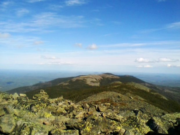
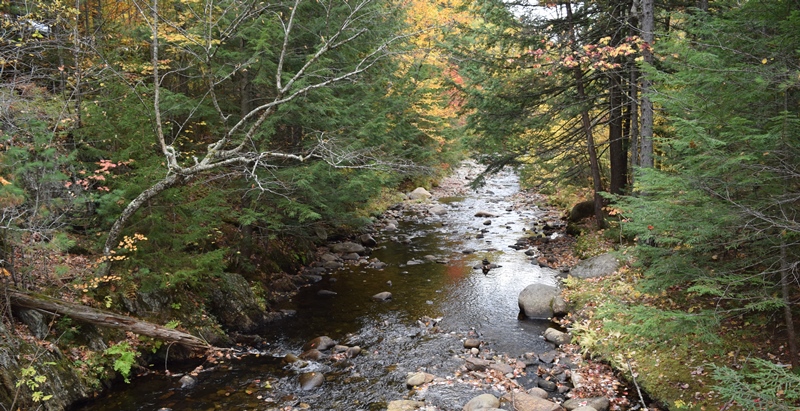
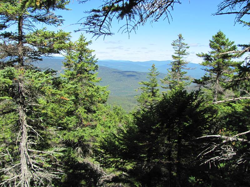
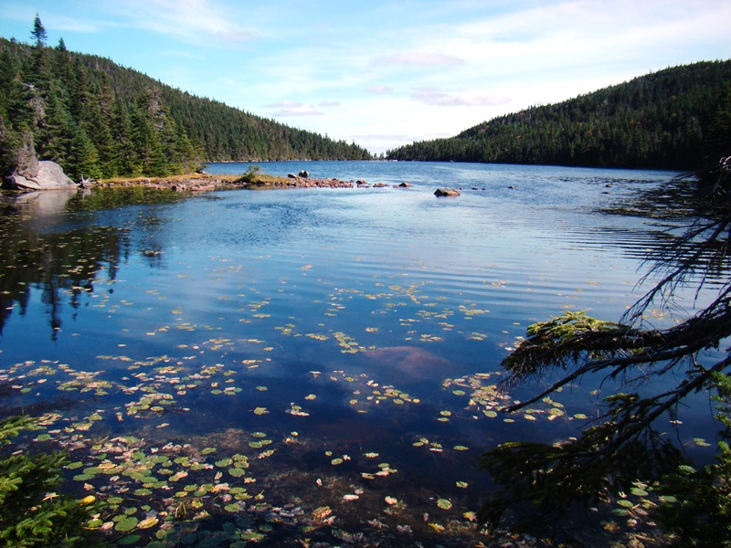
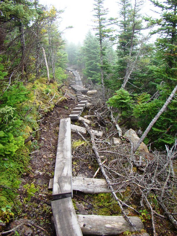
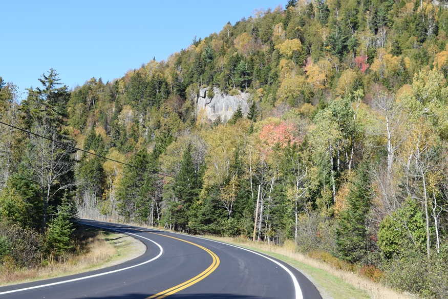
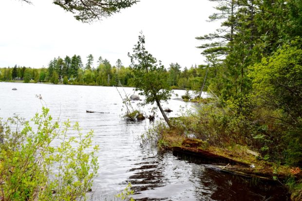
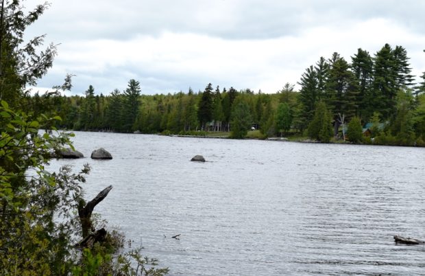
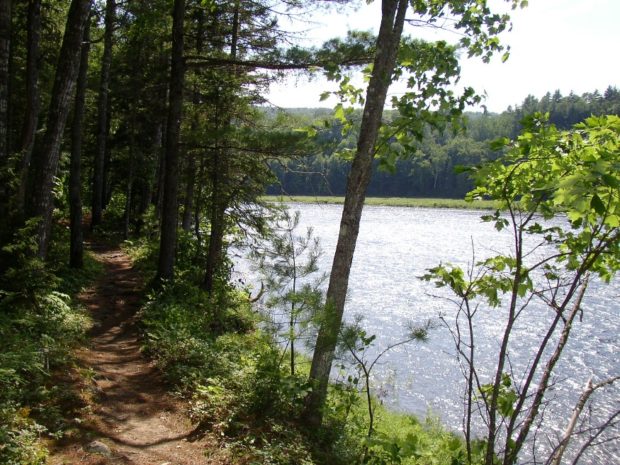
Home to Sugarloaf Mountain and its ski area, it has many related seasonal homes. The population has exploded in the latest census decade. A “ski academy” and a small airport are two enterprises based on the skiing economy. The Appalachian Trail passes north-south through the community along the western side of North and South Crocker Mountains. See video and photos.


")

")
")

")