Molly Mollasses

Mary Pelagie (1775-1867) an early 19th century Native American Penobscot woman, strove to live an autonomous life in an era in which there were numerous hindrances and hardships associated with womanhood. Existing in the late 18th to early 19th century was difficult for a woman in Maine and it was certainly a struggle surviving the…


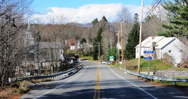

![House and Barn in Milo on Route 11 [Park Street] (2014)](https://maineanencyclopedia.com/wp-content/uploads/140426087-Copy-2-1.jpg)
")
")


")