Hobbstown Township

Spencer or Hardscrabble Mountain from Spencer Road in Hobbstown Township (2016)

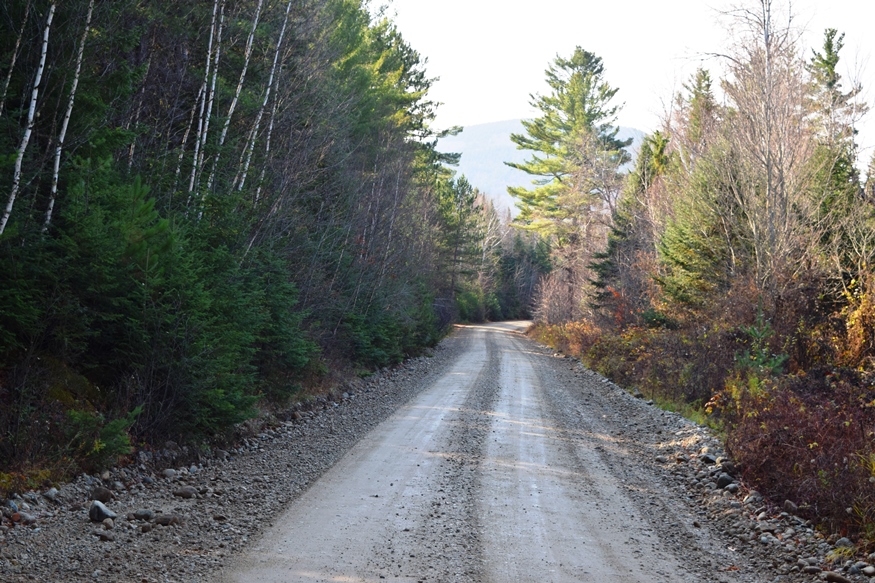
This township (T4 R6 BKP  WKR) in Somerset County contains most of Spencer Lake, along with the 2400-foot Spencer Mountain west of the Lake, and the 2300-foot Hardscrabble Mountain east of the Lake. With no village settlement, it is primarily an area of woods and woods roads. In the early 20th century, Spencer Lake Camps…

Prisoners of War in Maine

The Spencer Lake camp was built to accommodate 250 prisoners, though it later had to handle 310 men.  Schoolchildren from Forest Hills School 8th Grade Class of 2007 for their service learning project in nearby Jackman have placed a plaque marking the spot near an apparent cooking structure. (See photo above.) Maine’s forest and potato…

Pert, Edwin H.

Ed Pert in Clerk

Edwin H. Pert (1933-2016), a long-time fixture in Maine politics,  graduated from Morse High School in Bath and the University of Maine in Orono. Pert served a tour in Korea as a public information officer for the U.S. Army. He was reporter for the local newspaper and news director for the local radio station, before…

Cattle Pounds

As Maine communities began to lose some of their frontier aspects in the early 19th century and assumed a more settled appearance, rudimentary civic improvements were initiated. Among these improvements in the largely agricultural world of rural Maine was the regulation of the livestock which were becoming numerous. To control this problem towns constructed shelters,…

Wadsworth, Peleg

Peleg Wadsworth (1748-1829) was a Representative to Congress from Massachusetts. Born in Duxbury, Massachusetts, he attended public and private schools, and was graduated from Harvard College in 1769. After a brief period in business in Kingston, Massachusetts, Wadsworth served in the Revolutionary Army as an aide to General Artemas Ward in 1776; as an engineer…

Hope Island

View of Hope Island with large house and its coastline.

This mile-long, 89-acre island is near the southwest shore of Great Chebeague Island. It has been a part of the City of Portland, the Town of Cumberland, and the Town of Chebeague. In 1935 Hope Island, then part of the City of Portland, was owned by Howard S. Eckels and Josephine H. Eckels.  The photo…

Bangs Island

East Shore of Bangs Island (2015)

East Shore of Bangs Island (2015) On Casco Bay in the town of Chebeague Island, narrow Bangs Island is just short of a mile long. It is owned by the Maine Department of Conservation and was managed by the Department of Inland Fisheries and Wildlife in 2013. An aquaculture lease for suspended culture of blue…

T4 R9 NWP

sign: "Piscataquis County Line, Entering T4 R9" (NWP) on Route 11 (2014)

       Piscataquis County Line Entering T4 R9 WELS   Community This township is in north central Maine in Piscataquis County. It is dominated by Seboeis Lake and the Seboeis Maine Public Reserved Land, which surrounds most of the Lake. Two small settlements, Schoodic and Packards, are in the west of the township along…

Goslings, The

The Goslings Aerial View (2011)

Two Islands These two small islands, in the town of Harpswell, are in Middle Bay, a major inlet off Casco Bay. A popular destination for boaters, they lie just off the southern tip of Lower Goose Island. Each has campsites with a strict carry-in carry-out policy. Maine Coast Heritage Trust is the owner and steward.…

T9 R8 WELS

Moose in the Gravel Pit off the Pit Road in T9 R8 WELS (2015)

                                     Moose in the Gravel Pit off the Pit Road in T9 R8 WELS (2015) Roads Pinkham Road is the main artery in this township from northeast to southwest.  Craigville Road joins Pinkham from the east, just south…

T8 R9 WELS

Mount Katahdin with Snow Cap from T8 R9 WELS on the Pinkham Road (2015)

              Mount Katahdin with Snow Cap from T8 R9 on the Pinkham Road (May, 2015) @   This township is bisected, northeast to southwest, by Pinkham Road beginning in T9 R9 WELS and exiting to T8 R10 WELS in the southwest. This well maintained dirt road is one of…

Coltsfoot

Coltsfoot on Rocky Brook Road in T8 R8 WELS (2015)

Coltsfoot Wildflower Description These small yellow flowers lie face-up looking much like tiny suns, with a yellow button-like center and petals that jut out like small spikes of light.  The stem, an unusual scaly structure, is only eight inches high. Coltsfoot blooms from March to May.  These were seen on May 5th. Habitat Moist areas…

Lady’s Slippers

Pink Lady

Pink Lady’s Slippers or Moccasin Flowers An interesting article by Kyhl Lyndgaard opens with the following: One year before the passage of the Indian Removal Act in 1830, Almira Lincoln Phelps published the first edition of her  Familiar Lectures of Botany. Phelps wrote that “the Orchis tribe” are “opposing all attempts at civilization, [and] are…

T9 R9 WELS

Maine Forest Service on the Pinkham Road (2015)

Maine Forest Service on the Pinkham Road (2015) @ A Maine Forest Service Station on the Pinkham Road in the south of the township, is adjacent to Brown Brook which crosses the road there.  It seems to be a remote outpost with no other station for many miles. Presumably the brook would provide water for…

T10 R9 WELS

Chase Brook Road (left) off the Jack Mountain Road in T10 R9 WELS (2015)

                                  Chase Brook Road (left) off Jack Mountain Road (2015) @ This township in Piscataquis County and managed by North Maine Woods, lies just west of T10 R8 WELS where Jack Mountain Road continues, but becomes an unimproved dirt…

T10 R8 WELS

Portable Housing on the Jack Mountain Road in T10 R8 WELS near the Spectacle Pond Road

Portable Housing on the Jack Mountain Road in T10 R8 WELS near the Spectacle Pond Road As part of the North Maine Woods management area, the township hosts some related facilities, such as these temporary, mobile buildings, probably to provide shelter in this remote area for the area management and maintenance people.. The Jack Mountain…

T11 R8 WELS

  This township, in the North Maine Woods management area, continues the Jack Mountain Road from T11 R7 WELS in its southeast corner before the road turns southwest around Jack Mountain. Jack Mountain campsite, with tent space, a picnic table, toilet facilities, and a fire ring, is near the mountain of that name. The Machias…

T11 R7 WELS

            Bridge over Machias River (North Branch) off Pinkham Road in T11 R7 WELS (2015) This township is just west of Garfield Plantation, both of which are within the North Maine Woods management area. The American Realty Road crosses the northeast corner and the Pinkham Road crosses the southeast corner. …

Sandhill Cranes

Sandhill Crane in Sherman (2015)

Sandhill Cranes are very large, tall birds with a long neck reaching four feet tall.  They have long legs and broad wings. The cranes are mostly found in the Midwest but since the year 2000 they have been seen in south central Maine, including North Yarmouth, Belgrade and Kennebunk, and in Fryeburg in western Maine.…

North Maine Woods

The 20 mile North Maine Woods checkpoint in the Pittston Academy Grant (T2 R4 NBKP) (2008)

North Maine Woods In addition to be a general term for the forests of northern Maine, North Maine Woods is an organization that manages access to a specific area of mostly privately own land. Land Ownership                           The complicated historic land ownership in…