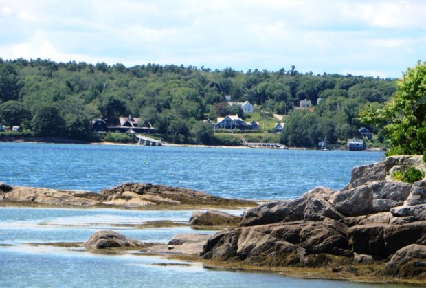
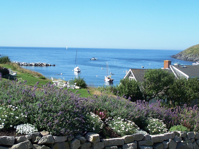
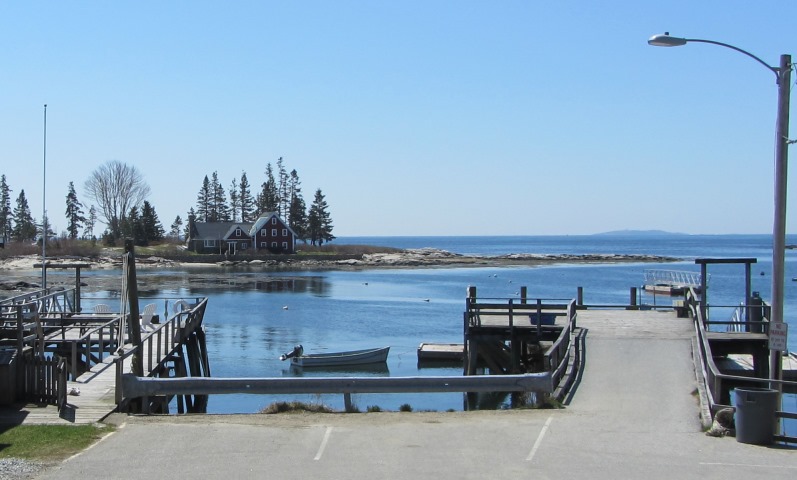
Isle au Haut

Location Map of Isle-au-Haut

Samuel de Champlain apparently named it in 1604 from the French for “high island.” About half the island is incorporated into Acadia National Park. Isle au Haut is both a lobstering community and a retreat for seasonal cottage owners. It has also been home to author-fisherman Linda Greenlaw.

Vinalhaven Island

Carver

The island town is home to two nature preserves, both managed by the Nature Conservancy. See photos. Granite quarrying was an important industry in the 19th and early 20th centuries, both on the main island and on nearby Hurricane Island, which is in the town of Vinalhaven. Now a community of summer residents and Maine residents, it is accessible by the State Ferry Service, which provides transportation, for passengers and vehicles, to and from Rockland.

North Haven

Located in Penobscot Bay, it is accessible via the State Ferry Service from Rockland, with connections to Vinalhaven. See video and photos. Fishing was the major industry on the island for many years, with a brief venture into canning. Boat building emerged as a major economic activity producing both fishing vessels and yachts for summer people. Long a resort community, it has few permanent residents. The “Turner Farm Site,” on the National Register, is a treasure of artifacts from Maine pre-history. Calderwood Island nature preserve is here.

Curtis Island

Curtis Light Station (undated)

[KUR-tis ISLAND], known for many years as Negro Island, is located in Camden Harbor in Knox County. Established in 1835, a light at the station was first lit in 1896 and was automated in 1972. White with a black “lantern” holding a 300 millimeter solar powers lens, the concrete tower stands 25 feet in height.…

Matinicus Island and Criehaven Island

[muh-TIN-ih-kuss] is an island plantation, organized on October 22, 1840, in Knox County in the Gulf of Maine 20 miles south of Rockland from which it is accessible by ferry. Its name, says Lawrence Bond, means “far off island,” from the Abenaki “metin” meaning “cut off, separate” and “nic” meaning island. The Indians supposedly gave…

Dix Island

Location of Dix Island

[DICKS ISLAND] is located three miles off shore from the town of South Thomaston in the Muscle Ridge Islands group of about fifteen islands and a fair number of ledges and reefs. Dix Island Harbor lies to the southeast of the island among ledges and several other islands. For most boaters, the north shore with…

Georges Islands

Allen Island with the Weymouth Cross; Benner Island at Right (2006)

Allen Island with the Weymouth Cross; Benner Island at Right (2006)   The Georges Islands are about four miles south southwest of Port Clyde in Knox County. They include Allen, Benner, Davis, Burnt and Little Burnt islands. According to The Maine Island Trail 2000 Stewardship Handbook and Guide (p. 125), “In the 1800’s, fishing and…

Monhegan Island

Chairs on Monhegan Overlooking the Harbor (2007)

Attractive to artists since the late 19th century, its first draw was fish. See video and photos. After early European explorers passed by (Cabot in 1497, Weymouth and Champlain in 1605), the abundance of fish soon became apparent. Botanists have identified over six hundred varieties of wildflowers on the island. Monhegan Light was commissioned on July 2, 1824.

Manana Island

Location of Manana and Monhegan

[like BANANA] is part of Monhegan Plantation, just across Monhegan Harbor. It has no major buildings, except for the Fog Signal. The long ramp that runs from the harbor to the Fog Station is the “road” for supplies and fuel. Seguin Island had a similar arrangement with a rail tramway operated by machinery at the…

Damariscove Island

Map Showing the location of Damariscove Island. Green areas are unorganized territories.

Just south of Booth Bay, the island was one of the earliest places along the Maine coast inhabited by Europeans. Even before the Pilgrim’s Mayflower arrived, fishermen from England, France, Spain and Holland caught and dried cod, which was shipped to Europe. By 1605 the English were fishing near the island. In 1622 when the…

Seguin Island

Seguin Island Light Station (2000)

Some uncertainty exists about the meaning of the famous island’s name of “Seguin” or “Satquin” according to Eckstorm. One explanation is that “From the east it does resemble a tortoise, whence evidently its name from the Indian, che-quen-ocks, called Siguenoc.” Another view is that it means “alone out to sea” from the Algonquin segunau. Yet…

Southport Island

Cape Island south of Cape Newagen (2013)

Located between Sheepscot Bay and Booth Bay, it is connected by a swing bridge to the town of Boothbay Harbor, and the casual visitor might not assume the town with two lighthouses was on an island. See photos. At the height of the summer, traffic is often backed up at the bridge as boats pass. Townsend Gut is the narrow waterway that separates the two towns. It is a shortcut from Boothbay Harbor to the Sheepscot River. The general store in West Southport village has been an institution for over a century.

Malaga Island

Malaga Island off Phippsburg (USGS map 1894)

One of the more shameful episodes in Maine history is the treatment of the black residents of Malaga Island, in the New Meadows River just off Phippsburg. Benjamin Darling, a freed slave, bought the nearby Horse Island in 1794. His son Isaac sold it and probably moved to the unoccupied Malaga Island in 1847. According…

Chebeague Island

Chebeague Island from Bangs Island (2015)

    [shuh-BEEG-iland] is a town in Cumberland County, incorporated on July 1, 2007 after separating from the mainland town of Cumberland. In doing so, it joined its neighbor Long Island as another new town in Casco Bay. The 2000 census recorded the population at 356; in 2010 it was 341. The town consists of…

Islands

  Maine has thousands of islands. Many have had an interesting history in the discovery of Maine by Europeans, to granite quarrying, sheep raising, tourism, and summer cottages. Here is a tour of some of the more substantial islands, from Downeast to the southern coast. Hover over the green to find your island, then click…

Washington County

Map of Maine Counties and Baxter Park

Washington is the fourteenth most populous of the sixteen counties, located on the eastern most coast of Maine. It was formed on May 1, 1790 comprising all land west from the St. Croix River to the then eastern boundary of Hancock County. Only one town, Machias, existed within its boundaries. The county lost half its…

Waldo County

Map of Maine Counties and Baxter Park

is the eleventh most populous of the sixteen counties, located in mid-coast Maine, and was formed on July 3, 1827 from portions of Hancock, Kennebec, and Lincoln counties. Several adjustments were made in the 19th century, resulting in the current boundary containing the City of Belfast and the towns of Belmont, Brooks, Burnham, Frankfort, Freedom,…