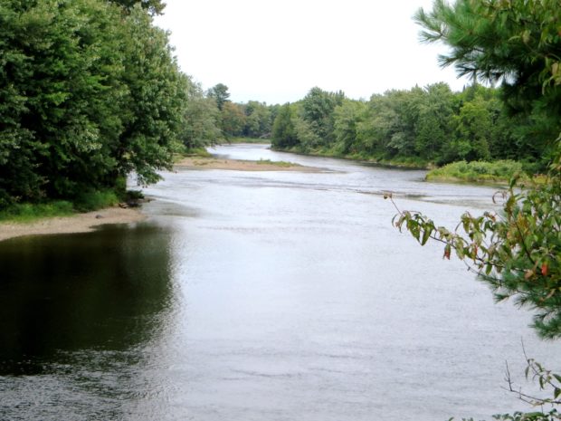
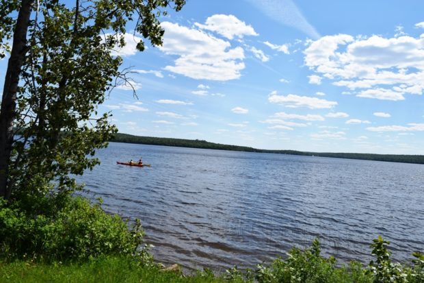
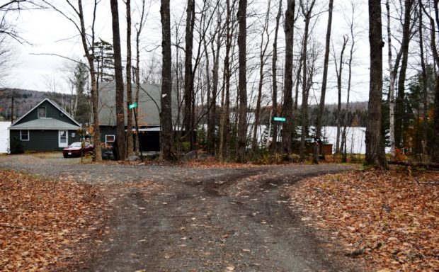
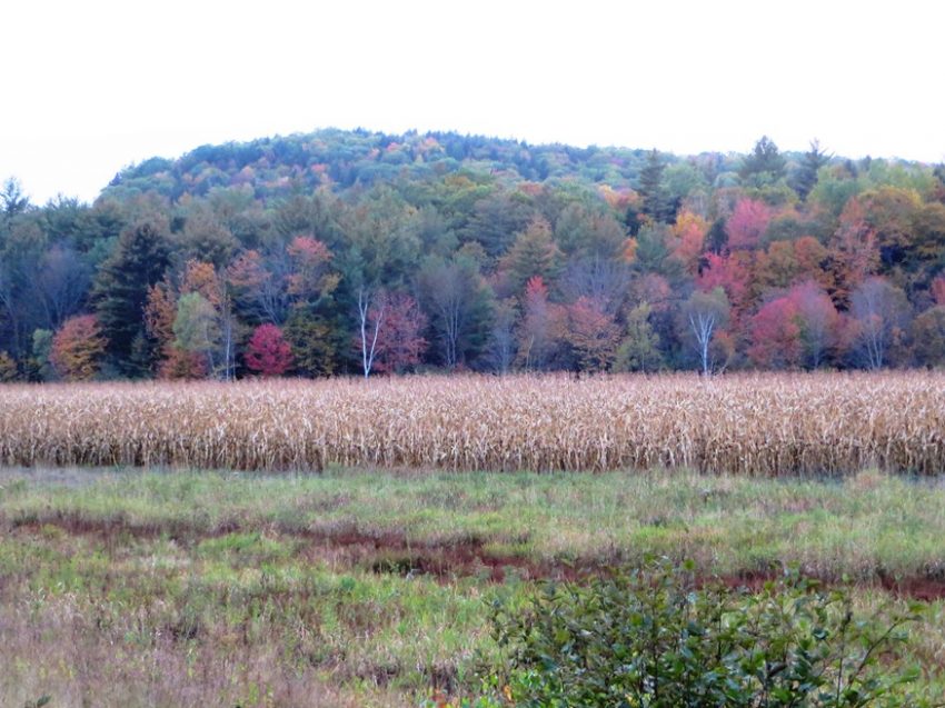
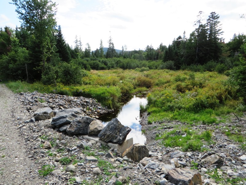
Lower Cupsuptic Township

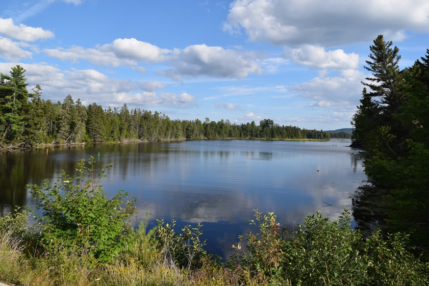
The Cupsuptic River crosses under Route 16 to feed Cupsuptic Lake in the southern most portion of this township. A boat launch area is on the east bank of the Cupsuptic River near the bridge. Big-Falls is a waterfall in the northwest corner of the township on the Cupsuptic River. It is accessible from Route…

Lunksoos Area

The Lunksoos [pronounced lunksue] area of T3 R7 WELS includes stunning views of the East Branch of the Penobscot River and historic sites such as the Hunt Farm and Lunksoos Camps. In 2014 it was also the local headquarters of Elliotsville Plantation foundation’s “Lunksoos Base Camp.” Not to be confused with Elliotsville Township (once a…

Lynchtown Township

Location Map for Lynchtown Township

The Oxford County Township, in northwestern Maine on the New Hampshire border, is just south of Parmachenee Township. It includes and  a small north portion of Aziscohos Lake and the bulk of Parmachenee Lake.  That lake was home to the Parmachenee Club. The Club was formed in 1890 by a group of mostly New York…

Madawaska Lake Township

This township is just west of Stockholm and North of Westmanland in the Swedish Colony area of Aroostook County. The historic “Sunset Lodge” was a ceder log camp built in 1932 by Bruce Ward on the shore of the Lake. The Lodge apparently has been demolished based on a survey of the area in 2016.…

Madrid TWP

View from Saddleback Junior (2007)

gave up its municipal status on July 1, 2000 since it was unable to sustain the expenses associated with being an organized town. The Appalachian Trail cuts through the northwest corner of the township, passing over The Horn, a mountain just northeast of Saddleback Mountain.

Mattamiscontis Township

Location Map for Mattamiscontis Township

Mattamiscontis (also known as T1 R7 NWP) is located on the west side of the Penobscot River across from Lincoln and north of Howland.  Incorporated as a town on March 8, 1839, it surrendered that status on February 21, 1907 and is now an unorganized township. Other than Route 116 that runs along the Penobscot…

Mayfield Township

Incorporated as a town in 1892, it deorganized in 1937. This township is just north of Brighton Plantation, with Mayfield Corner being the intersection of Routes 16 and 151 and the site of a village in the 19th century. It has private frontage on Otter Pond, Mayfield Pond and Kingsbury Pond. According to a report…

Milton Township

Corn Field in Milton Township on Route 232 in Autumn (2014)

This small township is surrounded by organized towns: Rumford, Bethel, Woodstock and Peru – all in Oxford County. About one mile of Route 232 is in the western corner and serves as the “Main Street” serving Milton Village. Several mountains, most of which are under 2,000 feet high, mark the landscape: Bean, Bryant, Chamberlain, Davis,…

Mount Abram TWP

The township is immediately south of Carrabassett Valley, host to the next northerly section of the Appalachian Trail. Mount Abram Township is dominated by Mount Abraham, with the AT passing through the northwest corner. This four mile section is inaccessible by road except at the Redington Township line. An unimproved road beginning in East Madrid,…

Mount Katahdin TWP

Baxter Peak, Mount Katahdin, January 1, 2012)

After a trip of four to six months, depending on interests, style, and luck, the north-bound Appalachian Trail “thru hiker” finally arrives at Mount Katahdin’s summit in Mount Katahdin Township in Baxter State Park. Mid-October is the deadline for unrestricted permission to climb the mountain. In 2007 an early snow and resulting ice delayed the…

Moxie Gore

Small Village on the Lake Moxie Road in Moxie Gore (2019)

Moxie Gore is an unorganized township in Somerset County bordering the east bank of the Kennebec River just above The Forks Plantation.  Its odd shape earns it the name “Gore.” Moxie Stream is the outlet for Moxie Pond, which straddles The Forks and East Moxie Township to the southeast. Before joining the Kennebec River, the…

Muscle Ridge Shoals Township

Otter Island Ledge Day Beacon in Muscle Ridge Channel (2015)

This island group township in Knox County is just offshore from South Thomaston in the Gulf of Maine. Its more than a dozen islands includes the larger Andrews, Dix, Fisherman and Pleasant.  [click images to enlarge and clarify, for these and all others] The “shoals” refer to ledges and reefs that threaten safe passage.  Otter…

Nesourdnahunk Township

North Branch of Trout Brook on the Tote Road (2014)

Wholly within Baxter State Park, also known as T5 R10 WELS, it contains five mountains over 1,700 feet. Trout Brook flow through. Dwelley Pond is it only pond. The Dwelley Pond Trail follows the old Tote Road north to south from near Burnt Mountain to near Strickland Mountain for day hiking, canoeing and fishing.

Northeast Carry

Moosehead Lake and Seboomook Wilderness Campground (2008)

Northeast Carry is a township on the northeast shore of Moosehead Lake, with a view of Mount Kineo (photo on left below – sharp cliff right of center). It connects the Lake with the West Branch of the Penobscot River by a “carry” corridor for portaging canoes. Henry David Thoreau used this connector twice during…

Orneville Township

Route 155 in Orneville between Bradford and Lagrange. (2014)

Orneville, east of Lagrange, is heavily forested. It has one small village, Boyd Lake, on Route 6/16 near Boyd Lake itself. Maine combined Routes 6/16 in the east and Route 11 in the west and a short stretch of Route 155 between Bradford and Lagrange in the southeast are the major improved roads on the…

Parlin Pond Township

Parlin Pond (2004)

The township is just south of Jackman on U.S. Route 201. It is the only improved road, except for about two miles of Hardscrabble Road on its town line with Johnson Mountain Township to the south. Parlin Pond, the water body, is a two-mile long pond along U.S. Route 201 in the southern portion of…

Parmachenee Township

Location Map for Parmachenee Township

This township is on the New Hampshire border in northwestern Maine. The name, according to Brian McCauley, is “Abenaki for ‘across the usual path.’ Legend says it was the name of an Indian Chief’s daughter.” The Magalloway River runs southward through it and through the 900+ acre Parmachenee Lake, which extends south into Lynchtown Township.…

Pierce Pond Township

An Appalachian Trail Hiker Savors the Colorful Fall View

             An Appalachian Trail Hiker Savors the Colorful Fall View [PEERCE POND] a township in Somerset County, is home to all but a small portion of Pierce Pond, all of Upper Pierce Pond, Grass Pond and half of Kilgore Pond, which it shares with Bowtown Township to the east. Pierce…

Pittston Academy Grant

Pittston Farm Sign on the Northern Road (2008)

This township is mostly south of the Golden Road where the Northern Road turns down toward the Pittston Farm, established by the Great Northern Paper Company. According to John Gould, In lumber camp lingo a “farm” is a depot and base of operations serving a considerable area of working timberland.  Pittston Farm had storage sheds,…