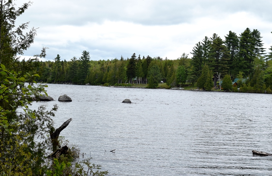
East Carry Pond, south end, in Carrying Place Township (2017)
")
South on the Bowtown Road in the Township (2007)
")
Sign Describing Arnold Landing (2007)
")
Sign Describing “The Great Carrying Place” (2007)

Population Trend 1970-2010
The township is immediately west of the Kennebec River, across from Caratunk, host to the next northerly section of the Appalachian Trail. Access by road begins across the river from Bingham. A right turn brings one to the Carry Pond Road, which proceeds north and becomes a gravel traveled way.
")
Sign Warning of the Dangerous River Crossing (2007)
The right fork about three miles further becomes the Bowtown Road, which crosses the Appalachian Trail at the extreme north of the township.
Hikers proceed toward the Kennebec along Pierce Pond Stream in the northeast corner of the township to where the stream empties into the river. They then signal the Kennebec Ferryman and await a canoe ride across to Caratunk.
")
The Kennebec River Crossing to Caratunk (2007)
Benedict Arnold’s expedition to Quebec in 1775 entered the township in the south from the Kennebec River at Carrying Place Stream. The Landing is accessible from the Carry Pond Road in Moscow. At the time of the crossing Wyman Dam, and thus the lake, was not in existence. Instead of the current easy access at the landing site, the Expedition had to scramble up the river bank because of the lower water level.
The following video reflects a a small “expedition” in June 2017 organized by the Maine Appalachian Trail Land Trust and led by a member of the Arnold Expedition Historical Society.
See Part 2 in Carrying Place Town Township
Benedict Arnold’s Expedition Route – click a Bateau

 <== To Quebec To Beginning ==>
![]() <= South Appalachian Trail – click a boot North
<= South Appalachian Trail – click a boot North ![]() =>
=>
Kennebec River Appalachian Trail Crossing photos courtesy of Brady G. Williams 2007.
My grandfather Earl Spaulding of Solon and Hampden told a story that he rembered seeing the swarth of cleared carry in the early 1910’s near the farm of his grandfather, Jonah Spaulding of Caratunk. Then it was a difference in tree heights only as the swarth had grown in with vegetation.