Glenwood

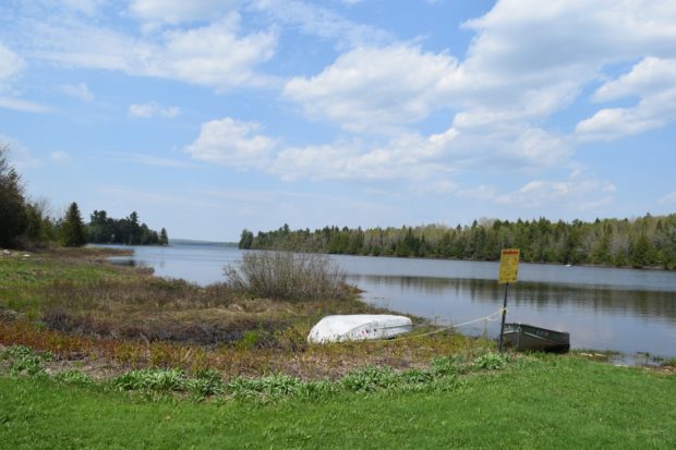
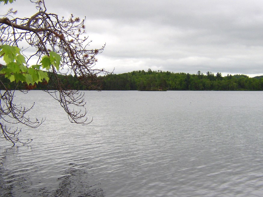
Glenwood contains most of Wytopitlock Lake (the balance is in T2 R4 WELS) and Orcutt Brook, which empties into it. In 2004 only a few camps were scattered along the rocky shore. The Bureau of State Parks and Public Lands owns and maintains a boat launch in the shallow outlet cove, located in Glenwood. Wytopitlock Stream is the outlet and the start of a popular canoe trip. Glenwood is subject to the Maine Land Use Regulation Commission, which has identified critical natural areas in the plantation.

Reed Plantation

House with Maple Sugar Shack "Crest Maple Farm" on Route 171 in Reed Plantation (2014)

The village is located on Maine Route 17 near the Mattawamkeag River and on the Wytopitlock stream. Other than Route 17, which runs through the through the western portion north to U.S. Route 2A, the Bancroft Road travels northeast from Wytopitlock to the Bancroft town line. These are the only improved roads. Two lots of Maine Public Reserved Land lie within the plantation: the 996-acre Thompson Deadwater Lot and the 539-acre Central-Wytopitlock Lot.

Old Town

The town is heavily influenced by the nearby University of Maine, and the long-lived Old Town Canoe Company maintains an outlet that attracts customers with a broad range of outdoor recreation interests. See photos. DeWitt Field, Old Town’s municipal airport, hash three runways. Since 1669, the area has been the principal home of the Penobscot Indians.

Macwahoc

The name (the Indian term for “bog” or “wet ground”) is appropriate since the main village lies at the north end of a bog on Molunkus Stream. See photos. The township has some frontage on Molunkus Lake. A 485 acre section of Maine Public Reserved Land is here.

Linneus

Linneus Town Office near a pond likely to provide water to the firedepartment (2012)

Year Population 1970 608 1980 752 1990 810 2000 892 2010 984 Geographic Data N. Latitude 46:54:25 W. Longitude 67:51:48 Maine House District 145 Maine Senate District 2 Congress District 2 Area sq. mi. (total) 45.8 Area sq. mi. (land) 44.6 Population/sq.mi. (land) 22.1 County: Aroostook Total=land+water; Land=land only [LIN-ee-us] is a town in Aroostook…

Houlton

In 1828 a military post was established and the military road to supply the post was completed in 1832. The garrison stayed until the Webster-Ashburton treaty was completed in 1842. See photos. Served by the New Brunswick and Canada Railway as late as 1886. By 1894 the new Bangor and Aroostook Railroad connected the town to central Maine. The “Houlton Band” of the Maliseet Indians has its tribal offices near the Canadian border.

Greenwood

Located just east of Bethel on Maine Route 26, the Village of Locke Mills in the town of Greenwood lies on the shore of Round Pond which is linked to nearby North Pond and South Pond. One early resident was L. L. Bean, who was born here. The town has shown consistent, moderate population growth over the past forty years.