Sebec
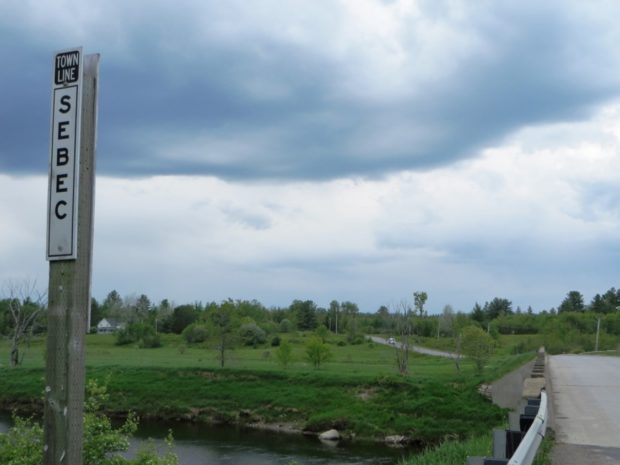
Several small ponds dot the landscape, including the 28-acre Garland Pond. Located between Dover-Foxcroft to the west and Milo to the east, the town is connected to both by Maine combined Route 6 and 16, and by the Piscataquis River.
"Those seeking cold, hard statistics on Maine communities won't be disappointed." —Bangor Daily News
Several small ponds dot the landscape, including the 28-acre Garland Pond. Located between Dover-Foxcroft to the west and Milo to the east, the town is connected to both by Maine combined Route 6 and 16, and by the Piscataquis River.
The area was also known as Nicatou, or “the forks,” since it marks the joining of the East and West branches of the Penobscot River. Medway is midway between Bangor and the northern line of Penobscot County, hence the modern name. Once home to Congressman Michael Michaud, it is a gateway to Baxter State Park.
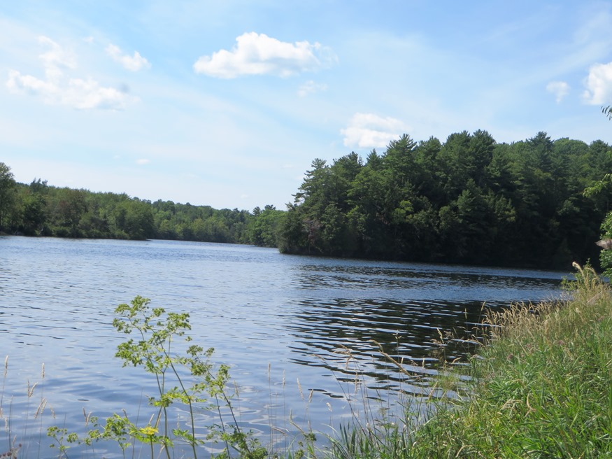
The town, with substantial frontage on Graham Lake and the east and west branches of the Union River, was named for William Bingham’s daughter Maria. With over 17% of its area covered with water, it is one of the most water-covered non-coastal towns in the state. While somewhat remote twelve miles north of Ellsworth, the town has a small but consistently growing population.
Located on U.S. Route 2A in Aroostook County, this wooded community has recently experienced a major decline in population. See photo. A military road to supply the Houlton post was completed in 1832, providing easy access to the town. Scenic canoeing and fishing is renowned here. The road through the Haynesville Woods was immortalized in the hit song sung by Fort Fairfield’s Richard “Dick” Curless in 1965 – “A Tombstone Every Mile.”
was a town in Penobscot County, incorporated on January 29, 1834 from Greenfield Plantation. Even though it was growing in population, Greenfield relinquished its status as a town in 1993 and is now an unorganized township.
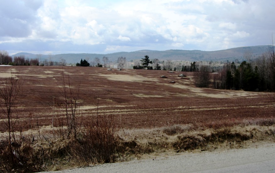
is north of Ellsworth on Route 9 – “The Airline.” Silsby Plain is a sandy remnant of glaciers and a favorable site for blueberries. Another glacial feature, The Whalesback, is located east of the village, which is on the Old Airline Road.
")
is a town in York County, incorporated on March 6, 1830; it ceded land to Shapleigh in 1831. It was part of a much larger tract of land in purchased in 1661 by Francis Small from Chief Sunday of the Newichawannock Tribe. Settled in 1776, the town’s first mill, a grist mill, was built on the Salmon Falls River in 1779 by Joseph Parsons.