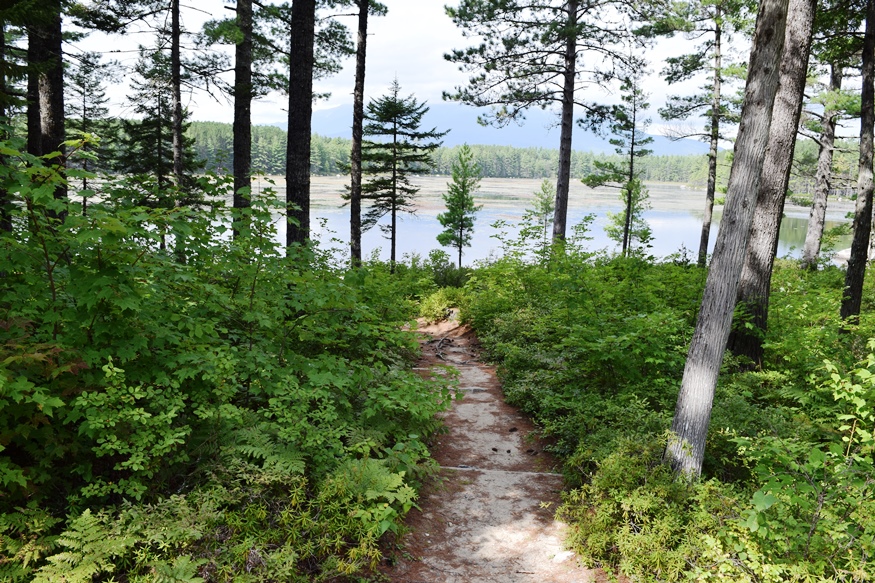
Southwest shore of Millinocket Lake and Mount Katahdin from T1 R8 WELS
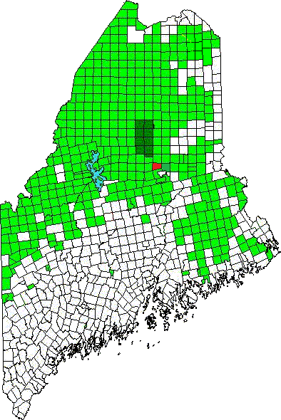
T1 R8 WELS Location Map
This township is just north of Millinocket on the Millinocket Lake Road, which trends northwest from Millinocket to the Lake and a boat launch.
Millinocket Stream, the outlet from the Lake, flows south through the township to the Town of Millinocket.
Smith Brook, the outlet for the 22 acre Little Smith Pond, flows through a marsh then south to Smith Pond in T3 Indian Purchase, just south of this township.
The north-south Stacyville Road follows the Stream and crosses it near the Huber Road. T1 R8 WELS has a 15 plus mile shoreline on the 2700 acre Millinocket Lake. In 2003 the shore was described as “mostly forested with little private camp development.”
A set of sporting camps is located near the outlet.
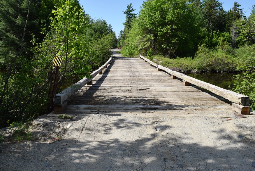
Bridge over Millinocket Stream on the Stacyville Road (2016)
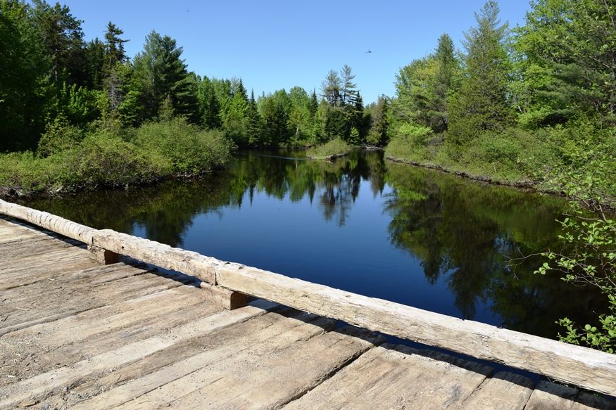
Bridge over Millinocket Stream with a dragon fly aloft [click to enlarge] (2016)
Vehicle access to the Lake is over private gravel roads, built and maintained for forest management. An unimproved boat landing is available near the dam. The last mile requires travel over a 4-wheel drive road to reach it.
Additional resources