Rumford

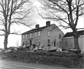
Deacon Hutchins House (1979)

Year Population 1970 9,363 1980 8,240 1990 7,078 2000 6,472 2010 5,841 Geographic Data N. Latitude 44:31:19 W. Longitude 70:35:50 Maine House District 115 Maine Senate District 18 Congress District 2 Area sq. mi. (total) 69.9 Area sq. mi. (land) 68.6 Population/sq.mi. (land) 85.2 County: Oxford   Total=land+water; Land=land only [RUM-frd] a town in Oxford…

Roxbury

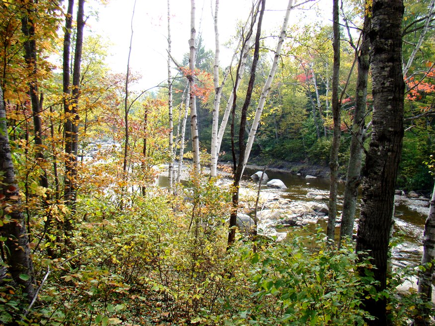
The Swift River in Roxbury from Route 17 (2007)

Several miles north of the Rumford-Mexico area on Maine Routes 17 and 120, the community (see photos) is known for its mineral deposits, especially accessible for amateur rock hunters. It has substantial frontage on Ellis Pond (also known as Silver Lake and Roxbury Pond) and on the Swift River. A wind farm is on Record Hill.