T2 R9 WELS

Omaha Beach with Campsites near the West Branch of the Penobscot River (2017)

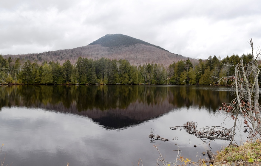
          This township lies at the base of Baxter State Park, encompassing the Park’s south access road from Millinocket and the eastern end of The Golden Road. Togue Pond Gate is the south entrance to the Park. The West Branch of the Penobscot River flows through its western region and includes…

T3 R11 WELS

Ripogenus Gorge

This township is located east of the southern portion of Baxter State Park.  Both the Golden Road and the West Branch of the Penobscot River span its width.  Ripogenus Dam, Lake, and Gorge are major geographic features. [See related Chesuncook]                              …

Outdoor Recreation

Rafting near The Forks (2004)

in Maine is a matter of picking the freely available natural resources: streams and lakes for canoeing, nature preserves and mountains for hiking, rivers for rafting on the Penobscot River’s West Branch and the Magalloway River, forests and parks for camping, among the many non-motorized options. Not to mention hunting and fishing opportunities. The Appalachian…

Lincoln Plantation

In the 19th century, it was a magnet for summer visitors to Parmachene Lake, a hunting and fishing resort. See photos. The southern end of Aziscohos Lake offers campsites and fishing in the area known as Wilsons Mills. The Aziscohos Dam spills water into the Magalloway River. A 93-foot Covered Bridge, built in 1901 has been closed to traffic since 1985.

T2 R10 WELS

Nesowadnehunk Falls on the Penobscot West Branch (2018)

Nesowadnehunk Falls on the Penobscot West Branch (2018)     Three Routes This township, officially known as T2 R10 WELS, is the crossroad of two major “highways” in Maine: The Golden Road and the Appalachian Trail. Both travel the Abol Bridge over the West Branch of the Penobscot River. The Golden Road From east of…