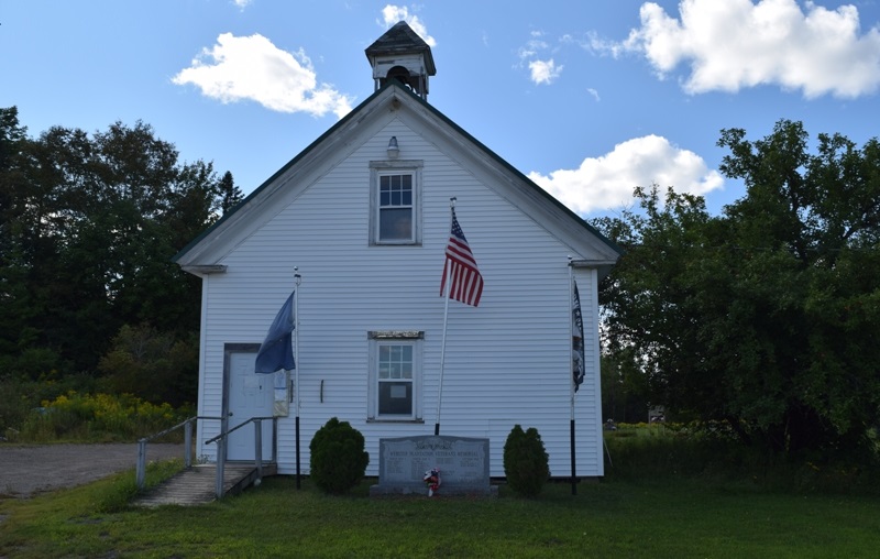
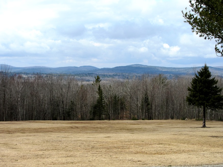
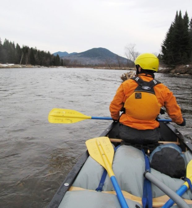
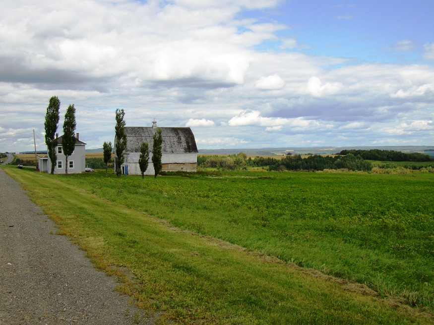
Winterville Plantation

Located about 25 miles south of Fort Kent on Maine Route 11, the area is an attraction for fishermen and hunters. St. Froid Lake (see photo) dominates the plantation by running virtually its whole length from north to south, a watery barrier separating the eastern from the western land portions. Quimby village is on the eastern shore of the lake; Winterville village is on Route 11, about two miles east of the lake.