Cross Lake Township

Cross Lake with Cottages (2018)

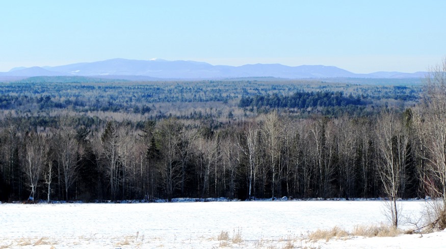
Cross Lake Township, In Aroostook County is, not surprisingly, named for the long lake in its southwestern quarter. Maine Route 161 from Madawaska to Fort Kent slices diagonally across the township. Route 162 branches northeast along Long Lake to St. Agatha. Ouelette and Guerette are the two principal villages. The township is largely a rural…

Thorndike

Settled in 1772, the town lies southeast of Unity on Maine Route 139. See photos. While once a farming community, as most Maine towns, Thorndike counted the railroad as a major element in its economy. The remains of that era are obvious in the village. The Belfast and Moosehead Lake Railroad was the latest to use the line.

Potatoes

Potato Pickers (c. 1950)

I saw mountains of potatoes–oceans–more potatoes than you would think the world’s population could consume in a hundred years. –Steinbeck These girls, probably in the 1950’s, had been hand-picking potatoes, then carrying their baskets to the barrels. The small card, or “ticket” on each barrel identifies the picker by number. The number of completed barrels…

Mapleton

Autumn Fields and Hills in Mapleton from Route 163 (2014)

is a town in Aroostook County, incorporated in 1880 from Mapleton Plantation. The early settlers, arriving in about 1836, were from New Brunswick. Potatoes have been a major part of its economy in the 19th and 20th centuries. The Aroostook War of the 1840s discouraged settlement until the 1850s.

Ludlow

This “half-township” (New Limerick occupies the other half of the original township) lies just west of the northern portion of Houlton. Ludlow is an agricultural community in the heart of southern Aroostook potato county. The soybean in the article is an example of the continuous, historic attempts to diversify the county’s farm economy.

Lincoln

Panoramic view of Mount Katahdin from Gilman Road in Lincoln

In 1846, Henry David Thoreau noted that his group “came into the Houlton road again, here called the military road, at Lincoln where there is quite a village for this country.” See photos. It has been a manufacturing center for pulp and paper, shoes and textiles. Recent years have seen a declining population as those sectors have faded. A 40 turbine wind will benefit the town budget.

Leeds

Stinchfield Beach on Androscoggin Lake (2006)

While not as important to the local economy as it was in the 19th Century, farming still thrives in some areas of the community. Amid the farms of rural Leeds, the DeCoster mill, on a railroad line in North Leeds, dominates the landscape. The east shore of Androscoggin Lake brings several miles of shore frontage to the community in the northeast corner, including Stinchfield Beach. The Androscoggin River forms the western boundary separating Leeds from Turner.

Lagrange

While growing slowly, this still small community retains its rural, farming and home town identity. Lagrange was named for the estate of the Marquis de La Fayette, the French friend of the American Revolution. See photos. A section of Maine Public Reserved Land is in the southwest corner of the township, managed for recreation and sustainable forestry.

Agricultural Subsidies

Farm in Sabattus

The federal government provides a “safety net” to agricultural producers to help them through the variations in agricultural production and profitability from year to year – due to variations in weather, market prices, and other factors – while ensuring a stable food supply. However, this support is mostly for five major “program” commodities of corn,…