Moxie Pond East Shore (in distance) with no obvious development (2019) [See Lake Moxie Village link]
Its outlet, Moxie Stream, exits the north end through a dam in Lake Moxie Village in The Forks Plantation, and flows west to the Kennebec River. A boat launch is in that Village.
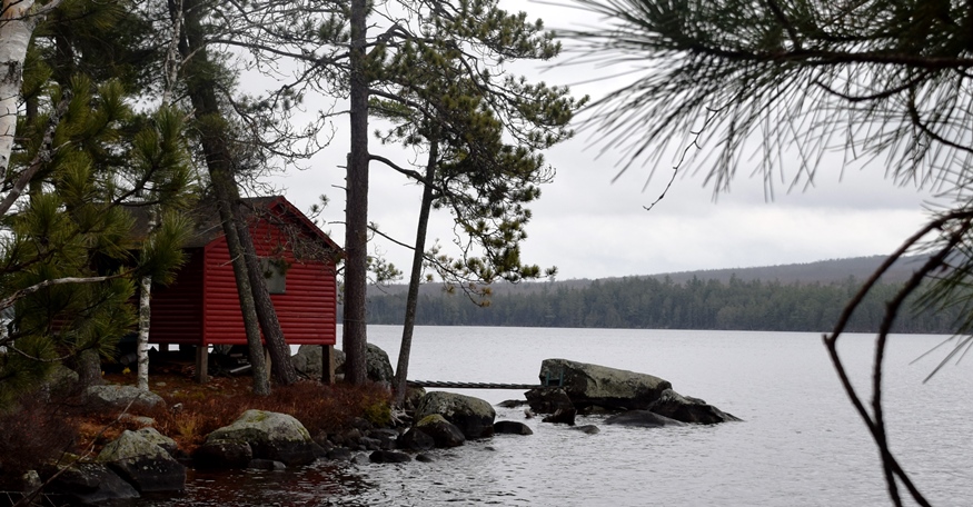
Little Moxie Pond is a relatively small pond at 73 acres and a maximum depth of 9 feet in the eastern most portion of the township. Little Moxie is approximately 20 miles southwest of Greenville. From the pond, looking south, is the barren top of Bald Mountain. The pond is both scenic and easily accessible. The woods roads to the pond usually allow travel by car in 1971, the latest survey.
Crossed with several dirt roads, likely for logging vehicles, there is no village and may not have any residents at all.
Additional resources
“Little Moxie Pond.” Survey of Little Moxie Pond of 1971. by the Maine Department of Inland Fisheries & Game (now Wildlife). https://www.maine.gov/ifw/docs/lake-survey-maps/somerset/moxie_pond_little.pdf