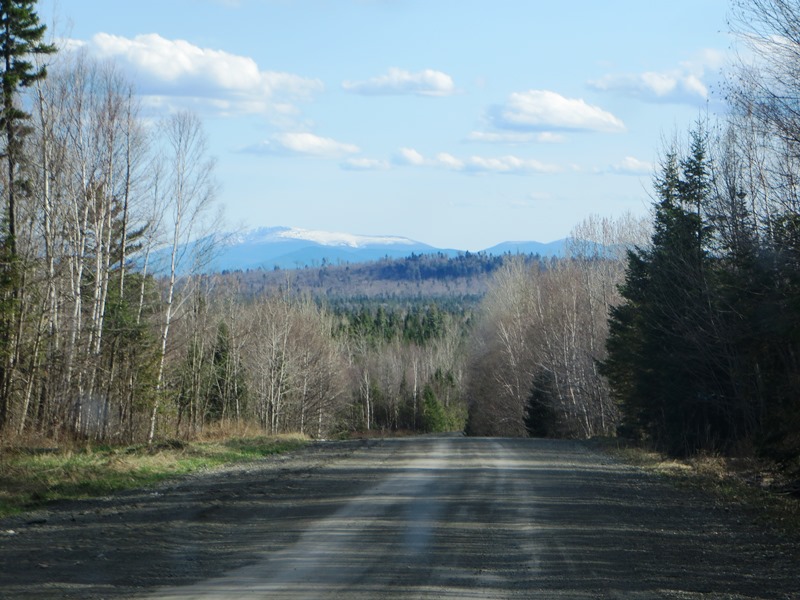
Mount Katahdin with Snow Cap from T8 R9 on the Pinkham Road (May, 2015) @
This township is bisected, northeast to southwest, by Pinkham Road beginning in T9 R9 WELS and exiting to T8 R10 WELS in the southwest.
This well maintained dirt road is one of the “highways” of the north woods, designed primarily for logging trucks. Entering the township on the road near Willard Ridge, the north side of Mount Katahdin in Baxter State Park is clearly visible. Snow remains on its north side in early May.
Campsites
Little Munsungan Lake Campsite
This authorized campsite is near the end of Munsungan Maple Road on Munsungan Lake. The unimproved Munsungan Maple Road splits from the Pinkham Road as it enters the township in the northeast.
No camper trailer access is allowed. A 4-wheel drive trail leads to the lower of two individual campsites and to a hand-carry boat launch. Each individual site has a fire place and a picnic table. One privy serves both.
Munsungan Falls Campsite
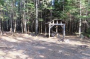
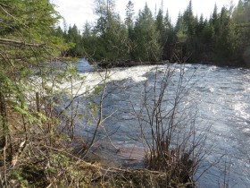
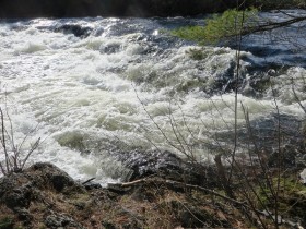
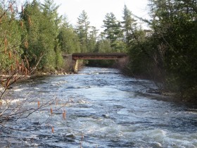
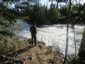
Also authorized by North Maine Woods, Inc., the campsite is off the Pinkham Road at Munsungan Falls on Munsungan Stream. Accessible with camper trailer, it features three individual campsites, each with a fireplace and a picnic table. A picnic table shelter and a privy serve the whole campsite. The site has access to the stream and to several small waterfalls. Munsungan is Abenaki for “humper island”.*
Water Bodies
Munsungan Falls
The Falls are about a mile downstream of the Munsungan Lake outlet on Munsungan Stream. The Lake, most of which is in adjoining T8 R10 WELS, juts into this township for about a mile before the stream.
Surrounding Townships:
T09 R10 WELS T09 R09 WELS T09 R08 WELS
T08 R10 WELS T08 R09 WELS T08 R08 WELS
T07 R10 WELS T07 R09 WELS T07 R08 WELS
Additional resources
- McCauley, Brian. The Names of Maine. ACADIA PRESS. Wellesley, Massachusetts. 2004.


