
When John Steinbeck was traveling the country in 1960, he noted that states had interesting differences expressed in their signs:
The New England states use a terse form of instruction, a tight-lipped, laconic style sheet, wasting no words and few letters. . . .
I am an avid reader of all signs, and I find in the case of historical markers the prose of statehood reaches its glorious best, and most lyric. I have further established, at least to my own satisfaction, that those states with the shortest histories and the least world-shaking events have the most historical markers.
Well, Maine has a long history and its share of historical markers. Signs sometimes tell it all. Here are some classics that typify the state and are recognizable by the well-traveled Mainer.
")
Sign in South China (2001)
")
Sign in Albany Township (2004)
")
Sign in Norway (2003)
These signs, not accidentally similar in design, seek to remind the visitor of the varied influences on Maine’s town histories. Albany Township is located in western Maine’s White Mountain National Forest, while China is near Augusta in south central Maine. The bottom entry on the South China sign should have read “New Sweden,” located in the far north of Aroostook County!
")
Huge Indian in Freeport on U.S. Route 1 near I-295 (2001)
")
Perry’s Nut House in Belfast (2002)
")
Ghost Sign for Gasoline (2003)
Apparently it pays to advertise, no matter how tacky or “nutty.” But no sign lasts forever.
")
Hundreds of Public Boat Access locations dot the landscape across Maine. Most support trailerable boats, though some are restricted to hand-carry only, especially in ecologically fragile areas..
")
Tree Farm (2003)
")
Ignore “Moose Crossing” signs at your peril! While many collisions occur on the northern reaches of I-95, they are much more frequent in the densely populated southern areas of the state. Similar warnings are posted for deer crossings.
See collision maps.
")
Sugarloaf USA ski area in Carrabassett Valley (2002)
")
Moody’s Diner, Route 1 in Waldoboro (2003)


")


")
")

SOUTH: Old Orchard Beach (2002)
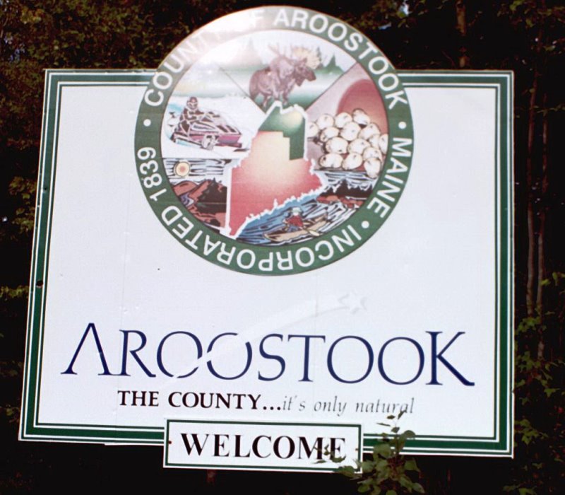
NORTH Aroostook County (2001)