Rainbow Stream Lean-To

The township, also known as T2 R11 WELS, is immediately adjacent to T2 R10 WELS, host to the next northerly section of the AT. Traveling south hikers encounter the three mile long Rainbow Lake that arches over the northeastern corner of the 11,082 acre township.
According to the Maine Natural Areas Program:
Nahmakanta is the largest of Maine’s ecological reserves. It consists of two sections straddling the Appalachian Trail. Nearly 90% of the reserve was classified as non-regulated, due to prior BPL designation as “back-country no-cut.” East of Nahmakanta Lake, the reserve includes the watersheds of the 5th through 8th Debsconeag Lakes. Most of the uplands within the reserve show some evidence of past harvesting or fire, but some remote stands support trees over 300 years old, including a 320 year old northern white cedar and a 397 year old red spruce.
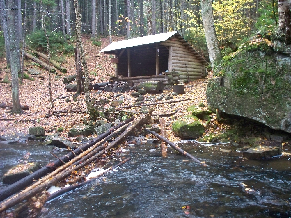
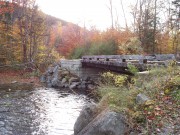
Rainbow Shelter sits near the Murphy Ponds and Rainbow Stream in the eastern portion of the township. The southern half is in Maine Public Reserve Land with trails to several lakes and ponds.
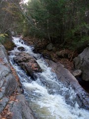
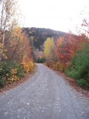
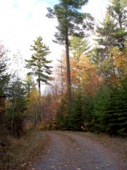
Pollywog Gorge provides unique photo opportunities as the hiker exits or enters Rainbow Township at its southeast corner. The coming of Fall may strike the hiker, as it did Henry James: “The place, with its gray sky and withered garlands, its bared spaces and scattered dead leaves, was like a theatre after the performance–all strewn with crumpled playbills.”
All photos on this page courtesy of Brady G. Williams.
Additional resources
James, Henry. The Great Short Novels of Henry James. “The Turn of the Screw.” New York. Carroll & Graf Publishers, Inc. 1986, p. 698.
Nahmakanta, Rainbow Township. Ecological Fact Sheet. Maine Department of Conservation. Maine Natural Areas Program. January, 2009. http://www.maine.gov/doc/nrimc/mnap/reservesys/nahmakanta.htm (accessed July 10, 2011)


