
Location Map for Macwahoc
| Year | Population |
|---|---|
| 1970 | 126 |
| 1980 | 126 |
| 1990 | 114 |
| 2000 | 98 |
| 2010 | 79 |

Macwahoc Population Chart 1860-2010
| Geographic Data | |
|---|---|
| N. Latitude | 45:38:28 |
| W. Longitude | 68:14:40 |
| Maine House | District 144 |
| Maine Senate | District 2 |
| Congress | District 2 |
| Area sq. mi. | (total) 29.4 |
| Area sq. mi. | (land) 29.3 |
| Population/sq.mi. | (land) 2.7 |
County: Aroostook
Total=land+water; Land=land only |
|
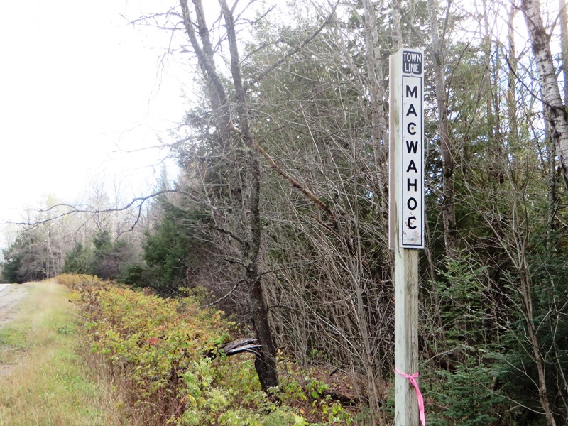
Town Line Macwahoc (2014)
[mah-KWAH-hawk] is a plantation in Aroostook County, settled in 1830 and organized as Molunkus Plantation on October 17, 1844 from townships T1 R4 WELS and TA R5.
On December 16, 1851 the name was changed to Macwahoc.
Farming and lumbering were the primary occupations in the 1880’s when its population was 187.
 N45° 37' 47.3\" W68° 16' 36.9\"")
Molunkus Rest Area on Route 2 (2012) @
 N45° 39' 46.6\" W68° 16' 36.9\"")
Molunkus Stream at the Rest Area (2012) @
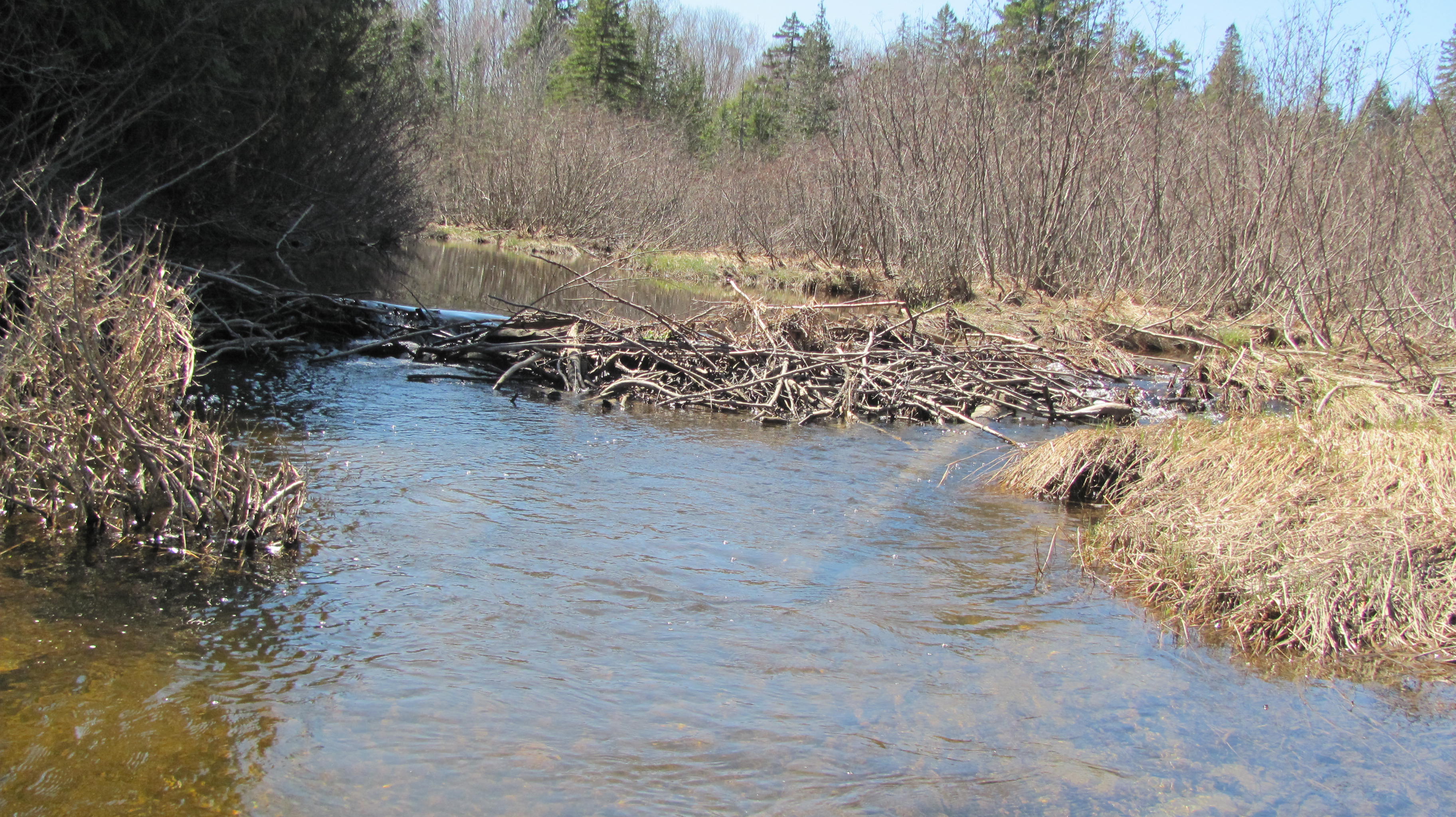
The name (the Indian term for “bog” or “wet ground”) is appropriate since the main village lies at the north end of a bog on Molunkus Stream. (See canoe trip below.)
The township has some frontage on Molunkus Lake.

LURC Land Use Guidance Map August 2004
A 485 acre section of Maine Public Reserved Land is located on the east side of U.S. Route 2A, on which it has frontage, with a trail to the interior.
The Land Use Regulation Commission provides planning guidance for public lands, especially in small towns with declining populations.
 N45° 37' 43.4\" W68° 15' 46.2\"")
Molunkus Tavern on U.S. Route 2 (2012) @
 N45° 37' 52.3\" W68° 15' 39.5\"")
Hanington Brothers Forest Products (2012) @
U.S. Route 2 diverges as 2A, the old military road, in the village which is also served by Maine Route 170;
")
U.S. Route 2A North of the Junction with U.S. Route 2 (201U.S. Route 2A North of the Junction with U.S. Route 2 in Macwahoc (2014)
 N45° 37' 41.1\" W68° 15' 48.9\"")
Snowmobile Bridge over Molunkus Stream (2012) @
Snowmobiling is an important recreational element in Aroostook County. It also has its economic benefits, so it is probably no coincidence that the bridge over Molunkus Stream on the is in Macwahoc village and near the Molunkus Tavern.
Another recreational choice is canoeing. Molunkus Stream offers a trip from the bridge on Pond Road in Silver Ridge to a take-out opportunity at U.S. Route 2A near Macwahoc village.
Form of Government: Assessors-Annual Meeting.
More Videos!
Additional resources
Bond, C. Lawrence. Native Names of New England Towns and Villages.
Chadbourne, Ava Harriet. Maine Place Names and The Peopling of its Towns.