")
Sign in Millinocket (2004)
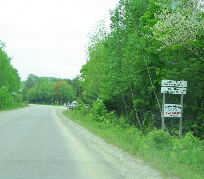
The Golden Road, privately owned and mostly unpaved, extends from Millinocket west over 100 miles to the Quebec border at township T5 R20 WELS, a four hour trip. It was established in the 1970’s as a transportation conduit for raw wood to feed the hungry Great Northern Paper Company mills in Millinocket and East Millinocket.
Since then, it has been discovered by many who seek the solitude and beauty of the woods, lakes and rivers of northern Maine.
From Millinocket The Road skirts the southern boundary of Baxter State Park, then crosses Abol Bridge at N45° 50′ 6.82″ W68° 58′ 3.32″ and travels along the south bank of the West Branch of the Penobscot River through T2 R10 WELS T3 R11 WELS, and T3 R12 WELS.
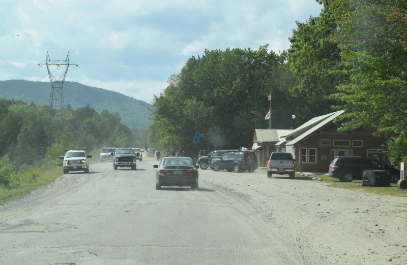
Dusty appoach to Abol Bridge on the Golden Road (2018)
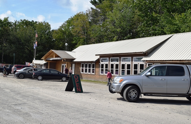
General store at the eastern approach to Abol Bridge (2018)
")
Katahdin from the Road (2018)
")
Katahdin from the Road (2018)
")
Sign: Kokajo 15 MI, Greenville 33 MI (2012)
At the eastern end of Ripogenus Lake the road turns south then up the western shore of Caribou Lake. Shortly thereafter, the Lobster Trip Road leads south to one of many travelers’ destinations: Lobster Township, with its sandy beaches on Lobster Lake.
The Golden Road continues to Seboomook Township and the north side of Seboomook Lake. Beyond the lake, the Northern Road intersects and heads south through Pittston Academy Grant Township to the Pittston Farm.
Continuing past the Northern Road, following for a while the North Branch of the Penobscot River, the Quebec border and the end of the Golden Road is only a few townships away.