 N45° 19' 40.79\" W70° 38' 59.13\"")
Chain of Ponds Unit (2017)@
The Chain of Ponds Lake consists of four basins arranged in a straight line that runs northwest to southeast. It covers 700 acres and drains 64.5 square miles. The maximum depth is 106 feet, and the average depth is 24 feet. A 300 foot long, ten foot tall, dam at the outlet of Lower Pond was rebuilt in 1991 and is maintained by the Maine Department of Inland Fisheries and Wildlife to protect the trout and salmon habitat. Recreational access to Long Pond of off Route 27 in Chain of Ponds Township.
The largest basin is known as Natanis Pond; southeast of it is Lower Pond. The Chain of Ponds management unit has 132 acres of wetlands, only 20 of which are forested. Much of the wetlands consist of shrub-lined tributaries to the ponds. The unit also contains 180 acres of wading bird habitat, most of which is concentrated around Round Pond and its tributaries at the northwest end of the Chain. The total area managed by the unit amounts to 1,119 acres.
Fish found in Chain include brook trout, brown bullhead, common shiner, creek chub, cusk, golden shiner, lake trout, landlocked salmon, yellow perch and several others.
Access to Long Pond is on a short unimproved dirt road leading to the shore, a boat launch, and a privy.
 N45° 19' 41.41\" W70° 39' 0.73\"")
Access Road (2017) @
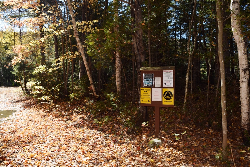
Notices near the Shore (2017)
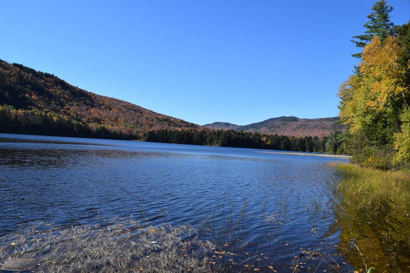
Long Pond (2017)

To the Shore (2017)
")
Looking Northwest (2017)
Additional resources
Maine. Department of Agriculture, Conservation and Forestry. “Chain of Ponds Unit.” https://www1.maine.gov/dacf/parks/get_involved/planning_and_acquisition/management_plans/
flagstaff_region/docs/07_Chain%20of%20Ponds%20Unit.pdf